Amber warning for heavy rain to come into force as wet weather continues
Thunder, lightning and hail marked the official end to summer over the weekend.
Your support helps us to tell the story
From reproductive rights to climate change to Big Tech, The Independent is on the ground when the story is developing. Whether it's investigating the financials of Elon Musk's pro-Trump PAC or producing our latest documentary, 'The A Word', which shines a light on the American women fighting for reproductive rights, we know how important it is to parse out the facts from the messaging.
At such a critical moment in US history, we need reporters on the ground. Your donation allows us to keep sending journalists to speak to both sides of the story.
The Independent is trusted by Americans across the entire political spectrum. And unlike many other quality news outlets, we choose not to lock Americans out of our reporting and analysis with paywalls. We believe quality journalism should be available to everyone, paid for by those who can afford it.
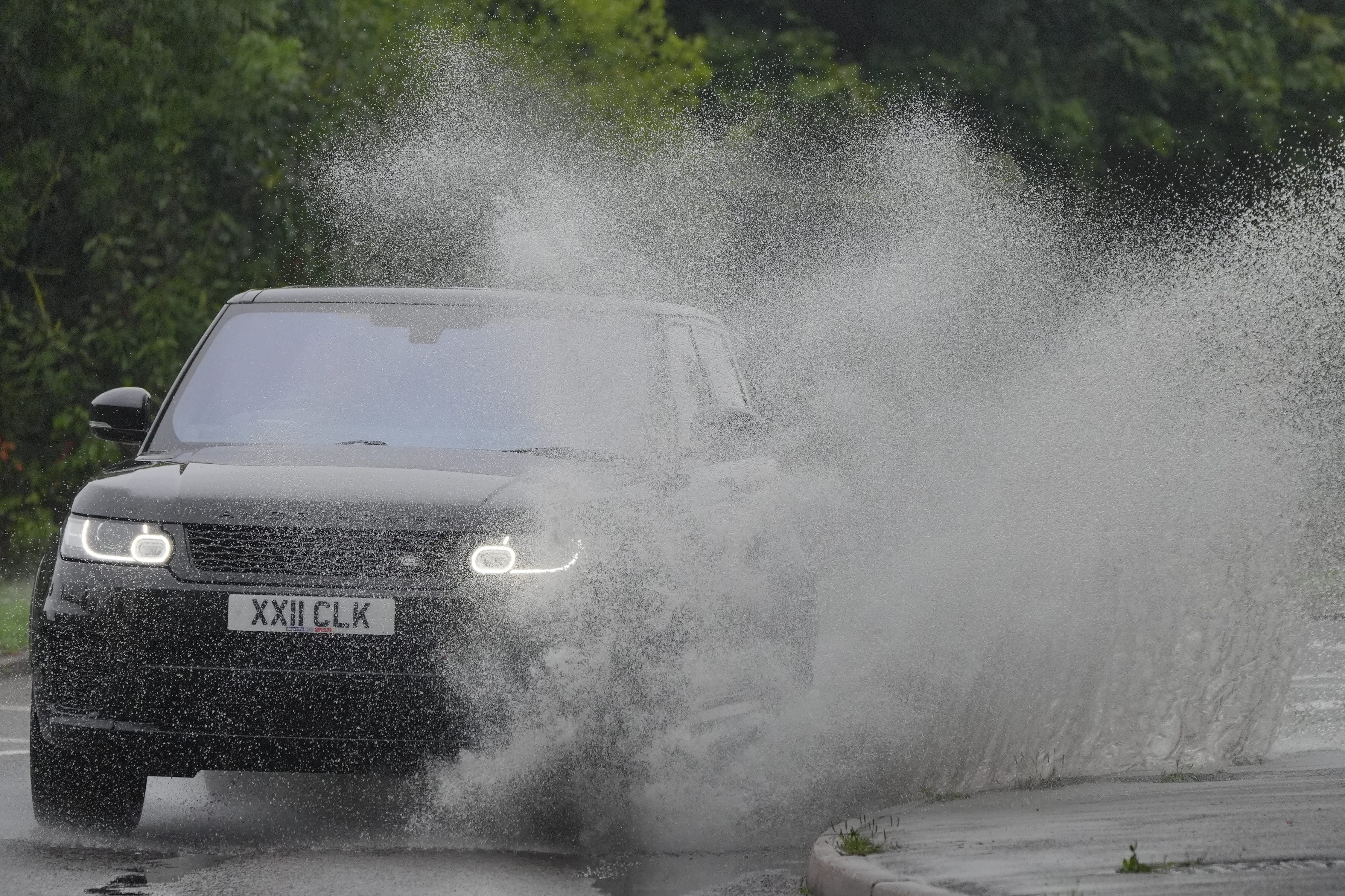
Your support makes all the difference.An amber weather warning for heavy rain is set to come into force as the wet weather that has plagued parts of the UK continues.
Thunder, lightning and hail marked the official end to summer over the weekend, with the autumn equinox on Sunday afternoon signalling the start of the new season.
Rain warnings have been in place all weekend with a fresh yellow alert having come into effect at midnight to last all of Monday, covering parts of Wales, much of the south of England, the Midlands and into north-west England and Yorkshire.
An amber warning will be in force between 5am and 9pm, sweeping over Worcester, Birmingham, Nottingham and Hull.
Some affected areas could see 100 to 120mm of rain on Monday and forecasters warned there may be more warnings in the week ahead.
Even before the warnings came into effect, Bedfordshire Police said: “We are aware of the multiple issues the weather is causing across the county tonight. Please only call us if there is an immediate threat to life or crime in progress.
“All emergency services and council teams are working as quickly as possible to help those affected but our priority will be the vulnerable. Please stay clear of flooded roads and affected areas.”
Met Office meteorologist Jonathan Vautrey said: “First thing on Monday morning then we see an amber weather warning come into force.
“It stretches between Herefordshire, Gloucestershire and up towards the Wash and the Humber.
“This area in particular, during Monday, we could see over a month’s worth of rain falling, and with the rain we’ve already seen over the last couple of days this certainly has the potential to bring some disruption and flooding in locations and here it is very important we do take care over the course of the day.
“There is a broader yellow rain warning that encompasses much other areas of England and Wales as well.”
The meteorologist also warned that temperatures are set to drop to below-average levels for the time of year across the country.
Mr Vautrey said: “During the forthcoming week, though, we see northerly winds starting to push their way in, so the cooling trend is going to continue for all of us.
“Parts of Scotland will certainly see that by already Monday and into Tuesday, with temperatures slipping down into the low teens in places, but that cool and cold air will eventually reach many areas of the UK by the time we head throughout the rest of the week.
“So all of us will start to see temperatures dropping below average for the time of year as we head towards the end of the week.”