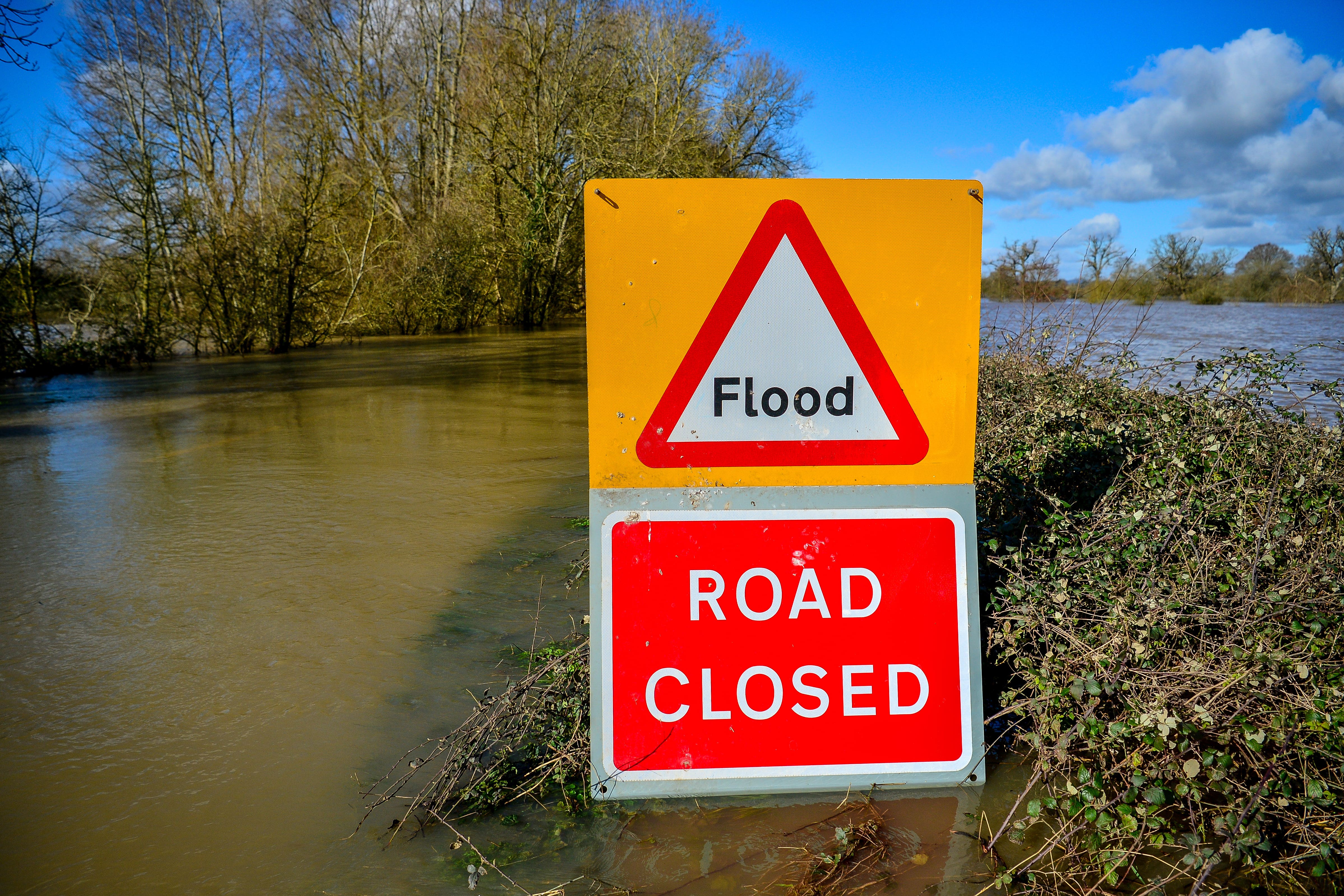
More rain expected as flood alerts issued
Floods could hit parts of the country from London to the South West on Friday.

Your support helps us to tell the story
From reproductive rights to climate change to Big Tech, The Independent is on the ground when the story is developing. Whether it's investigating the financials of Elon Musk's pro-Trump PAC or producing our latest documentary, 'The A Word', which shines a light on the American women fighting for reproductive rights, we know how important it is to parse out the facts from the messaging.
At such a critical moment in US history, we need reporters on the ground. Your donation allows us to keep sending journalists to speak to both sides of the story.
The Independent is trusted by Americans across the entire political spectrum. And unlike many other quality news outlets, we choose not to lock Americans out of our reporting and analysis with paywalls. We believe quality journalism should be available to everyone, paid for by those who can afford it.
Your support makes all the difference.The deluge of rain will continue in the south of the UK, forecasters have said as four flood alerts were issued.
The Environment Agency (EA) warned: “Properties may flood and there may be travel disruption.”
It issued flood alerts in four areas from London to the South West on Friday.
Southern England and South Wales will be hit hardest by the rain and drivers travelling through those areas should expect lengthy delays during the weekend, the RAC said.
Gatwick Airport said temporary air traffic control restrictions are in place across Europe and the UK due to the weather and some flights may be delayed as a result.
Low-lying roads and footpaths by the Thames are expected to flood from Putney Bridge to Teddington Weir, west London, when the river reaches high tide at 5.30pm, according to the EA.
It put the high water levels down to “spring tides”.
People near the Lower Avon river, south-west England, are advised to “consider activating any property flood protection products.”
More rain is set to fall which could raise the Lower Avon’s levels and the Ringwood, Christchurch and Moyles Court areas are most at risk.
Flooding on low-lying land and roads is possible on Friday evening and into Saturday near the rivers Clyst and Culm, in Devon.
A flood alert also remains in place in Scrase Bridge and West Common Streams near Haywards Heath, West Sussex.
EA said both rivers had returned to near normal following “intense” rainfall on Thursday but further showers are expected and “any river rise and flooding will likely occur quickly following intense downpours”.
Grahame Madge, a Met Office spokesman, said: “With a yellow weather warning across southern England and South Wales, these areas are the main focus of attention for today’s forecast.”
Forecasters said there is a slight chance of power cuts, flooding in homes and businesses, communities being cut off, travel disruption and damage from lightning strikes in the northern part of the warning area.
“There is a small chance of fast-flowing or deep floodwater causing danger to life”, they added.
Mr Madge said: “Within the warning area we will see some heavy outbreaks of rain, possibly accompanied by lightning especially in the west of the warning area.
“From central England and Wales northwards conditions will be largely fine and dry with temperatures reaching mid 20C in some locations.
“Cloudy conditions along North Sea coasts will spread across more of the UK toward the end of today.
“The outlook for tomorrow and into the weekend remains unsettled with further potentially very heavy rain to come.”
Meanwhile the “driest and brightest” weather on Friday is expected in Scotland and Northern Ireland, the Met Office said.
Alice Simpson of the RAC said: “As our short-lived summer has been well and truly swept away by heavy rain, drivers across southern England and South Wales should prepare for lengthy delays to journeys when travelling through the weekend.
“Driving in heavy downpours can be very dangerous so it’s vital people slow down, leave a much larger space between their vehicle and the one in front, and avoid driving through standing water.
“Anyone driving through even very shallow water at speed risks ‘aquaplaning’, which means losing control of their vehicle and drastically increasing the chance of an accident.
“Be very careful when encountering standing surface water because the last thing you want to do is become a sitting duck.
“This could lead to very expensive vehicle damage or even an insurance write-off.
“If you’re not entirely sure the water is shallow enough to drive through safely, the best thing to do is turn around and go another way.”
The EA’s flood alerts were last updated shortly before 9.30am on Friday.