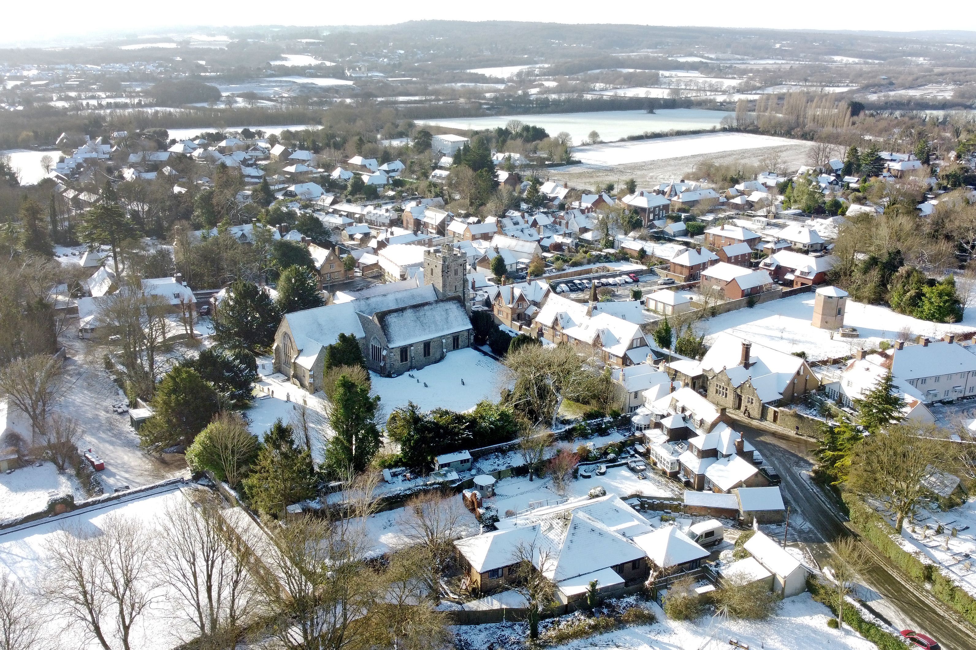
Cold Arctic air forecast to bring snow for parts of northern Scotland
Northern England and the Borders could be hit by snowfall on Tuesday, which could move south on Wednesday.

Your support helps us to tell the story
From reproductive rights to climate change to Big Tech, The Independent is on the ground when the story is developing. Whether it's investigating the financials of Elon Musk's pro-Trump PAC or producing our latest documentary, 'The A Word', which shines a light on the American women fighting for reproductive rights, we know how important it is to parse out the facts from the messaging.
At such a critical moment in US history, we need reporters on the ground. Your donation allows us to keep sending journalists to speak to both sides of the story.
The Independent is trusted by Americans across the entire political spectrum. And unlike many other quality news outlets, we choose not to lock Americans out of our reporting and analysis with paywalls. We believe quality journalism should be available to everyone, paid for by those who can afford it.
Your support makes all the difference.Snow is forecast to hit parts of northern Scotland on Sunday as cold air from the Arctic brings chilly temperatures.
A yellow weather warning for snow and ice is in place all day on Sunday and into Monday, covering areas including the Highlands and the Orkney and Shetland Islands.
The Met Office warns parts of northern Scotland could see around 10cm of snow over the next two days.
Northern Ireland could also see up to 5cm of snow on higher ground on Monday, with a yellow warning in place from 3am until the end of the day.
Forecasters predict the snow will then move south over the course of the week, with the potential for wintry weather in parts of northern England on Tuesday.
Southern regions were said to be at “low risk” of snow.
Met Office meteorologist Honor Criswick said: “It is going to be feeling pretty chilly in the north of Scotland.
“Throughout the week we are going to see more and more snow showers and warnings, towards the end of the week we will probably see an accumulation.
“The warning is of 2cm to 5cm of snow, throughout the week there is the possibility we will see a build up of snow.
“The top temperature for Aberdeen is 2C on Sunday but it will probably feel cooler.
“Snow showers will be moving inland throughout the course of the day.
“It continues all day Sunday into Monday and we are likely to see an accumulation of snow and further warnings.
“We are going to see showers feeding across Scotland, Northern Ireland, and mainly the east coast of England.
“It should be dry and bright inland.
“On Tuesday, we are going to see more rain turning to snow moving east across the country, with more prolonged snow and more accumulations at low levels in the north of Scotland and northern England.
“That’s where we could see 5cm or 10cm of snow in low-lying areas.
“There’s a very low chance the south might see a bit of it.”
Southern regions are expected to be largely dry over Sunday and Monday.
Ms Criswick added: “It looks generally dry, there’s an odd shower around, a little bit of cloud, it should be largely dry. There should be largely sunny spells, with temperatures around 7C to 8C.”