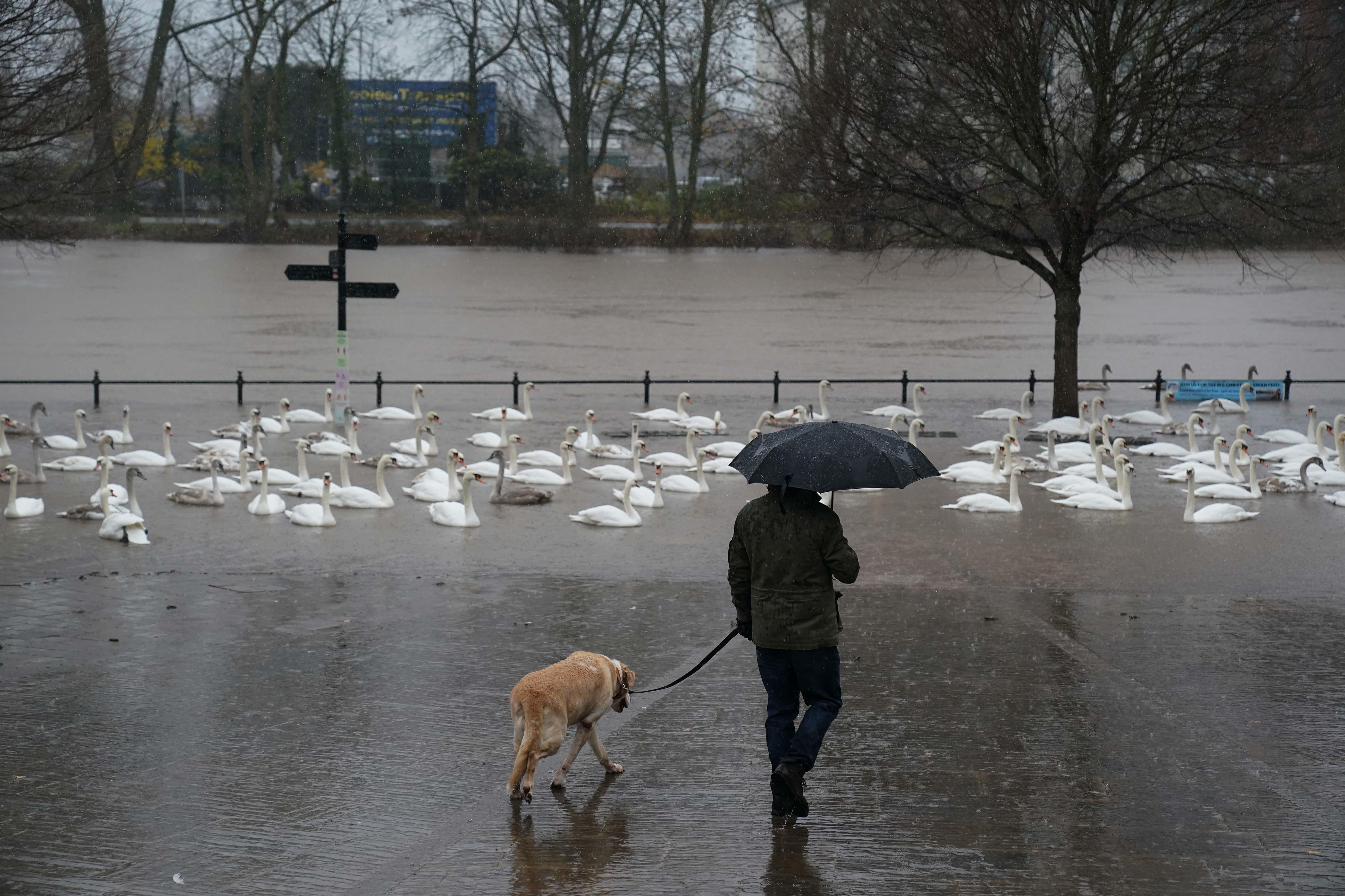
Heavy rain to continue across parts of UK after weekend washout
On Tuesday eastern Scotland could see between 50mm and 75mm of rain, equivalent to a third of the average for December.

Your support helps us to tell the story
From reproductive rights to climate change to Big Tech, The Independent is on the ground when the story is developing. Whether it's investigating the financials of Elon Musk's pro-Trump PAC or producing our latest documentary, 'The A Word', which shines a light on the American women fighting for reproductive rights, we know how important it is to parse out the facts from the messaging.
At such a critical moment in US history, we need reporters on the ground. Your donation allows us to keep sending journalists to speak to both sides of the story.
The Independent is trusted by Americans across the entire political spectrum. And unlike many other quality news outlets, we choose not to lock Americans out of our reporting and analysis with paywalls. We believe quality journalism should be available to everyone, paid for by those who can afford it.
Your support makes all the difference.Heavy rain could bring flooding to parts of the UK after a weekend which saw Storm Elin and Storm Fergus hit the country.
The two named storms brought strong winds and heavy downpours to parts of the UK and Ireland on Saturday and Sunday, with weather warnings, and the washout will continue until Wednesday in some areas.
On Tuesday eastern Scotland could see between 50mm and 75mm of rainfall, equivalent to a third of the average for December.
But from Thursday most of the country will see drier and brighter weather, with slightly above-average temperatures.
Met Office meteorologist Marco Petagna said: “Monday looks like a better day for most areas; there will be some patchy rain across the northeast of Scotland, but other than that it looks mostly dry with bright sunny spells and lighter winds.
“But wet and windy weather will come in on Monday night, pushing east into Tuesday.
“Eastern Scotland could see 50mm to 75mm of rain on Tuesday, so two or three inches in some spots, elsewhere it will be brighter but with some showers.
“It could be a chilly start in the north on Wednesday, a few icy patches and a touch of frost, but becoming drier and brighter.
“Later in the week things will gradually improve, but Wednesday night there will be a spell of wet and windy weather.
“After that at the end of the week things will improve, away from north-west Scotland which will be wet, but elsewhere higher pressure will be building, temperatures will be between 8C and 12C, a degree or two above average for this time of the year.”
Homes and cars in Leitrim Village in Ireland were seriously damaged after a possible tornado hit the area on Sunday.
Emergency services were called after high winds flattened trees, ripped a roof off a building and left debris scattered on a street.
A yellow Met Office warning for rain was in place until 3am on Monday for the north east of England.
In England, 44 flood warnings issued by the Environment Agency were in operation on Monday morning with and eight by the Scottish Environmental Protection Agency.
A yellow warning for rain has been issued for eastern Scotland from Tuesday morning through to the early hours of Wednesday and will continue to be reviewed, the Met Office said.