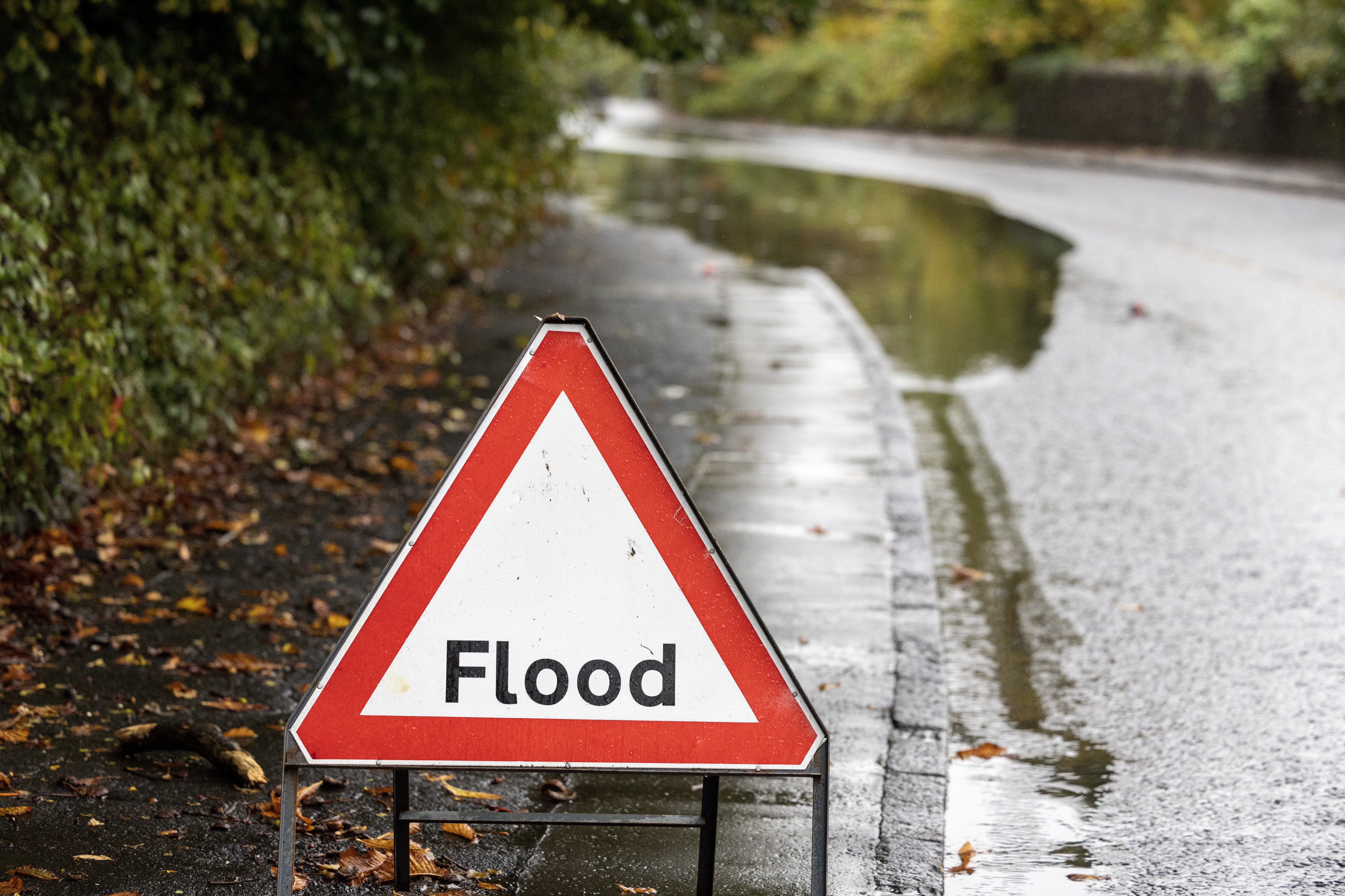
Further flooding expected in Scotland due to Storm Babet
The Met Office and Scottish Environment Protection Agency are already issuing warnings.

Your support helps us to tell the story
From reproductive rights to climate change to Big Tech, The Independent is on the ground when the story is developing. Whether it's investigating the financials of Elon Musk's pro-Trump PAC or producing our latest documentary, 'The A Word', which shines a light on the American women fighting for reproductive rights, we know how important it is to parse out the facts from the messaging.
At such a critical moment in US history, we need reporters on the ground. Your donation allows us to keep sending journalists to speak to both sides of the story.
The Independent is trusted by Americans across the entire political spectrum. And unlike many other quality news outlets, we choose not to lock Americans out of our reporting and analysis with paywalls. We believe quality journalism should be available to everyone, paid for by those who can afford it.
Your support makes all the difference.More flooding is expected in Scotland with the arrival of Storm Babet later in the week.
Storm Babet is expected to bring heavy rain and strong winds from Wednesday evening, amid warnings about heavy rainfall on “already saturated” ground.
The east coast could be battered by massive waves, according to the Met Office, which issued a yellow weather warning.
Communities in Aviemore, Highlands, Argyll and Bute, and Perthshire were badly impacted at the start of October, with weather so bad it was compared to the Beast from the East in 2018.
Rain is expected to affect similar areas in Argyll and Bute, Dumfries and Galloway, Tayside, Dundee, and Angus and Grampian – and winds could reach 60mph in northern Scotland.
The Met Office and Scottish Environment Protection Agency (Sepa) are already issuing warnings, but said those may change with the forecast.
Partners and responder agencies were alerted to the potential impacts on Sunday through Sepa’s flood guidance statement.
David Morgan, flood duty manager for Sepa, said: “Storm Babet will bring heavy rain and high winds across Scotland from Wednesday evening, starting in the South West before moving across to the North East through Thursday and into the weekend.
“Impacts from surface water and rivers are likely, and with catchments saturated from recent heavy rain and flooding, we’re urging people to be prepared for potential flooding.
“There is also concern that surface water flooding may be exacerbated by debris blocking drainage, culverts, etc. as a result of the high winds.
“Flood alerts and warnings will be issued as required, and we continue to work with the Met Office to monitor the situation 24/7.
“People can check our flood updates for all the latest information and the three-day Scottish flood forecast to see what conditions are expected further ahead.
“If you live or work in an area that could be affected, consider any steps you need to take now to be prepared and stay safe, and to take extra care if you need to travel.
“If you have not already signed up to Floodline, you can do so now to receive free updates for where you live, or travel through, directly to your phone. Follow Sepa’s social media, especially @SEPAflood on X for the latest information.”
Met Office chief meteorologist Steven Keates said: “Heavy and persistent rain will fall onto already saturated ground bringing a risk of flooding.
“It is important to stay up to date with warnings from your local flood warning agency as well as the local authorities.
“For Scotland, this rain will be fairly heavy and persistent through much of the second half of the week and into the early part of the weekend.
“As well as heavy rain, Storm Babet will bring some very strong winds and large waves near some eastern coasts too.
“Gusts in excess of 60mph are possible in eastern and northern Scotland from Thursday. It is likely Met Office warnings will be updated through the week.”