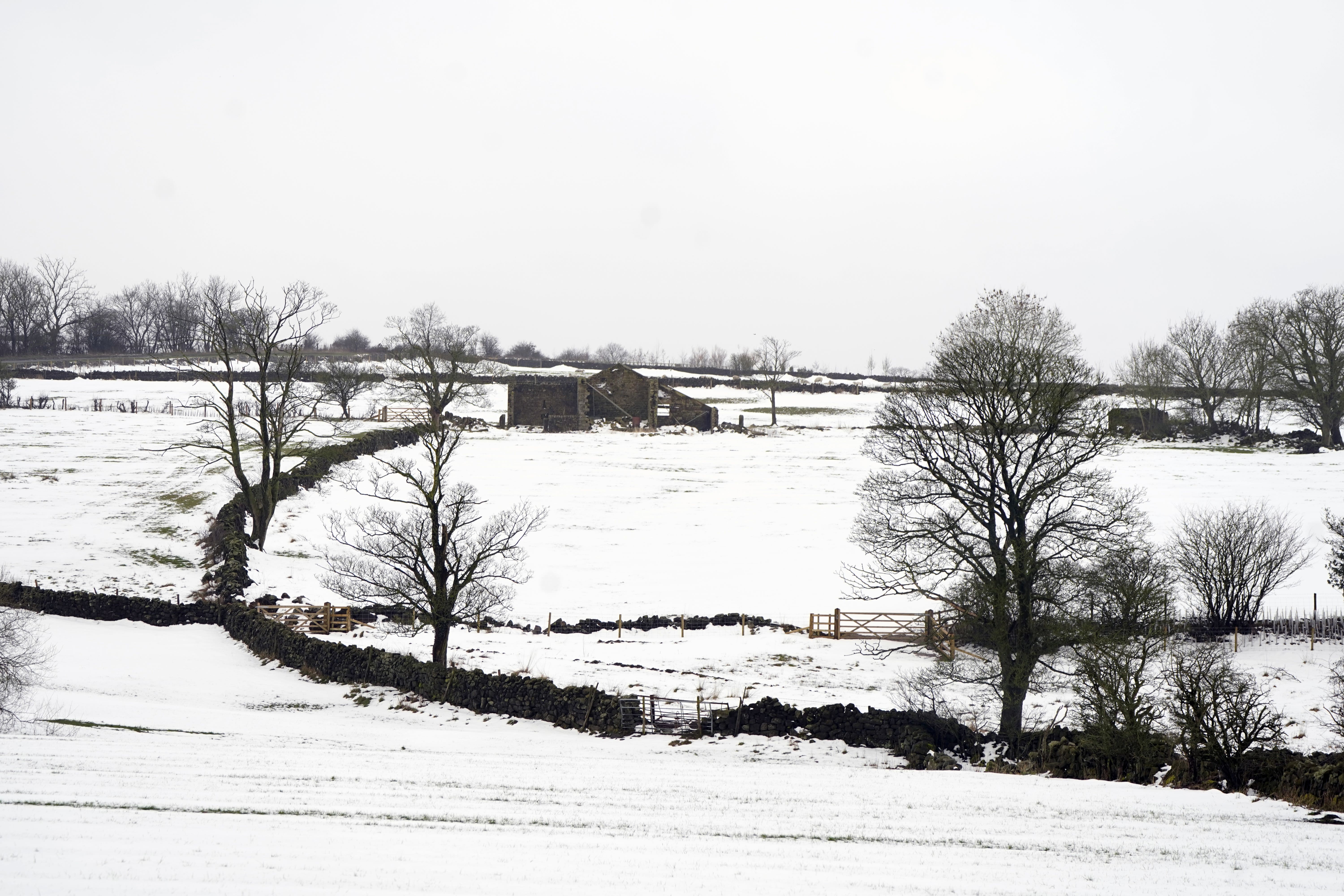
Britain braced for more cold as temperatures set to plummet as low as minus 12C
The Met Office has issued yellow weather warnings for snow and ice across most of the country lasting from Monday to Tuesday morning.
Your support helps us to tell the story
From reproductive rights to climate change to Big Tech, The Independent is on the ground when the story is developing. Whether it's investigating the financials of Elon Musk's pro-Trump PAC or producing our latest documentary, 'The A Word', which shines a light on the American women fighting for reproductive rights, we know how important it is to parse out the facts from the messaging.
At such a critical moment in US history, we need reporters on the ground. Your donation allows us to keep sending journalists to speak to both sides of the story.
The Independent is trusted by Americans across the entire political spectrum. And unlike many other quality news outlets, we choose not to lock Americans out of our reporting and analysis with paywalls. We believe quality journalism should be available to everyone, paid for by those who can afford it.
Your support makes all the difference.Britain is braced for another cold blast as temperatures are set to plummet as low as minus 12C for parts of the UK overnight this week.
The Met Office has issued yellow weather warnings for snow and ice across most of the country lasting from Monday to Tuesday morning and until Wednesday for Shetland.
It could mean possible travel disruption, particularly for high-sided vehicles.
Delays to road, rail, air and ferry transport are likely along with possible damage to trees.
Residents will have to deal with rain, sleet and snow followed by ice, which is likely to have some impact on travel, according to the forecasters.
Met Office meteorologist Simon Partridge said wintry weather would hit the UK overnight, with lows of minus 11C expected in the sheltered glens of Scotland on Monday, dropping to minus 12C by Wednesday morning.
He said cold air in Scotland on Monday will push across the whole of the UK by Tuesday afternoon.
Parts of southern England will be saved from the worst of the cold early in the week, but come Wednesday temperatures will drop across the country, Mr Partridge said.
He added: “Wednesday overnight will be very cold for pretty much the whole of the UK, so if you’ve got plants that have gone out early, get them in tomorrow because the frost is going to be widespread in the morning.”
But the week will be “unsettled”, with the weather shifting to rainy and windy amid milder temperatures from Thursday onwards, he said.
“There’s some cloud and rain on Wednesday onwards pushing back in from the west, so milder air comes in – there will be some snow on the front of that rain but it won’t last very long. Thursday’s main concern is how much rainfall there will be.”
By the Monday morning rush hour there were more than 60 flood alerts along with five warnings that flooding was expected.
The prospect of wintry showers and partially melted snow freezing on untreated surfaces and turning them into icy stretches was also raised for people in Scotland, Northern Ireland, northern England and North Wales, where a yellow warning for snow and ice is set to run until Tuesday morning.
The Met Office said: “Cold air spreading southwards across the UK, following a band of rain, sleet and snow, will bring frequent snow showers to northern, western, and eastern Scotland, as well as parts of Northern Ireland.
“Overnight, these will accumulate on some roads and pavements, with anywhere between a light dusting and several centimetres of snow possible.
“Between the showers, partially melted snow is likely to freeze on untreated surfaces leading to icy stretches.
“Wintry showers will continue through Tuesday, although by mid-morning the temperature on most roads will likely have risen sufficiently to reduce the risk of further accumulating snow or ice.”