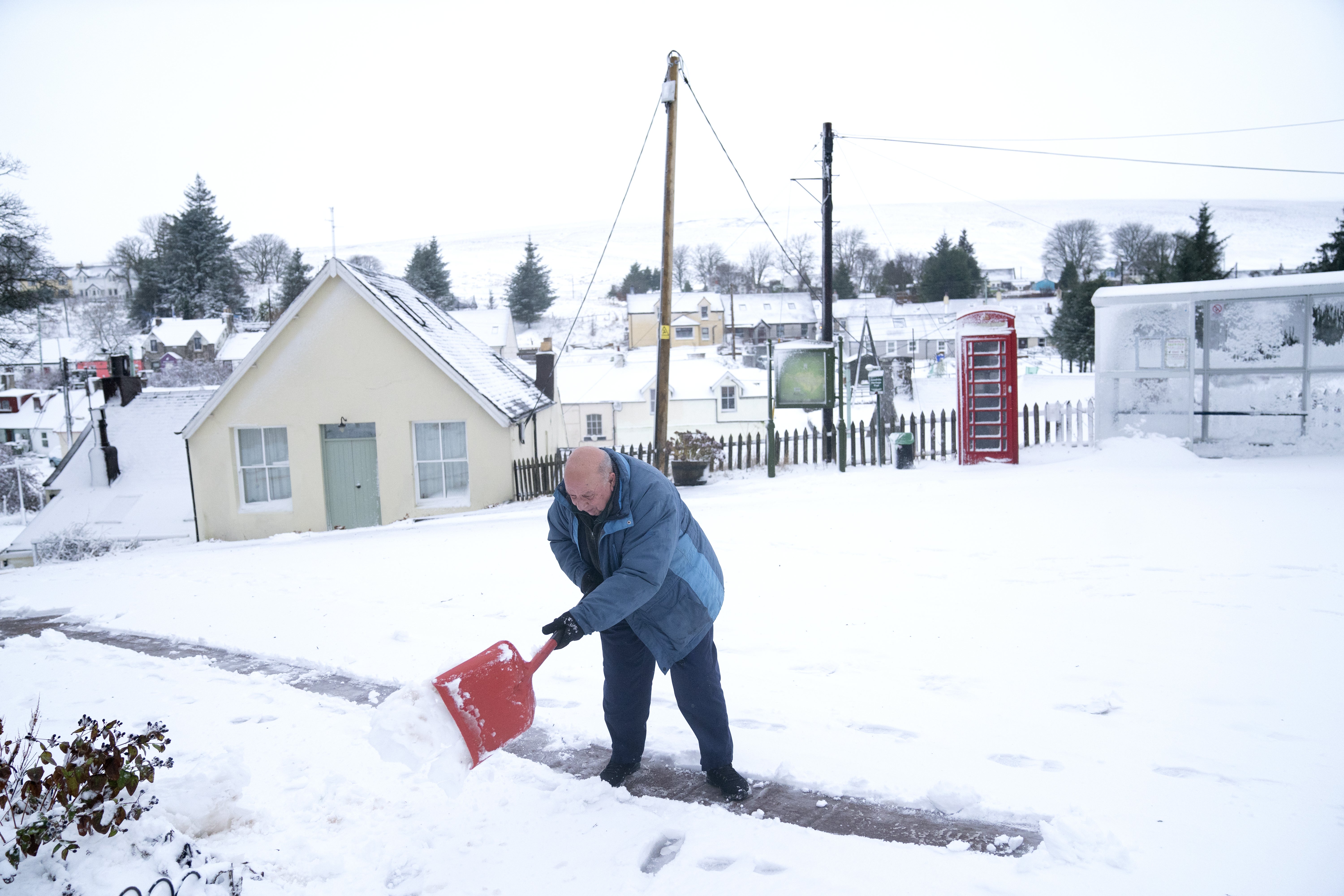
Snow forecast from Derbyshire to Scotland as white Christmas continues
One of the Met Office’s yellow warnings was expanded to include an area from the Scottish Borders to Derbyshire.

Your support helps us to tell the story
From reproductive rights to climate change to Big Tech, The Independent is on the ground when the story is developing. Whether it's investigating the financials of Elon Musk's pro-Trump PAC or producing our latest documentary, 'The A Word', which shines a light on the American women fighting for reproductive rights, we know how important it is to parse out the facts from the messaging.
At such a critical moment in US history, we need reporters on the ground. Your donation allows us to keep sending journalists to speak to both sides of the story.
The Independent is trusted by Americans across the entire political spectrum. And unlike many other quality news outlets, we choose not to lock Americans out of our reporting and analysis with paywalls. We believe quality journalism should be available to everyone, paid for by those who can afford it.
Your support makes all the difference.Parts of England from the East Midlands to the North-East have joined Scotland in preparing for blizzard-like conditions on Boxing Day as the white Christmas continues.
One of the Met Office’s yellow warnings was expanded to include an area from the Scottish Borders to Derbyshire as well as further east over Durham and Northumberland due to the increased chance of snow accumulating over the southern Pennines overnight.
A second yellow warning was in place for a smaller area north of Glasgow and heading north-east across the Forth Valley, with the weather service saying Clackmannanshire, Falkirk, Perth and Kinross, and Stirling were likely to be affected on Sunday.
A Met Office spokesman said: “As an area of rain moves northwards, it looks like turning to snow over parts of northern England, and then southern and central Scotland.
“Accumulations of 2-4 cm of snow are possible above 200 metres and 5-10 cm above 300 metres.
“Coupled with strong winds, gusting to 35 to 45 mph in places, this is likely to lead to some difficult travel conditions across higher Pennine and Cumbrian routes, as well as the Southern Uplands, during the early hours of Sunday.
“Temporary blizzard conditions may be encountered above around 300 or 400 metres elevation. These conditions will probably move into some hillier central parts of Scotland during Sunday morning, while snow turns back to rain further south.”
The Met Office said some “short term” loss of power and other services is possible during the period of the warnings.
Both yellow warnings are expected to end at midday on Sunday.
On Saturday, the service said it had been a white Christmas for parts of the UK as people in Shetland and eastern Scotland woke up to a blanket of snow.
Elsewhere, a yellow warning for heavy rain continues to be in place until 9am across south-western parts of County Down in Northern Ireland, with the service warning flooding of a few homes and businesses is likely.