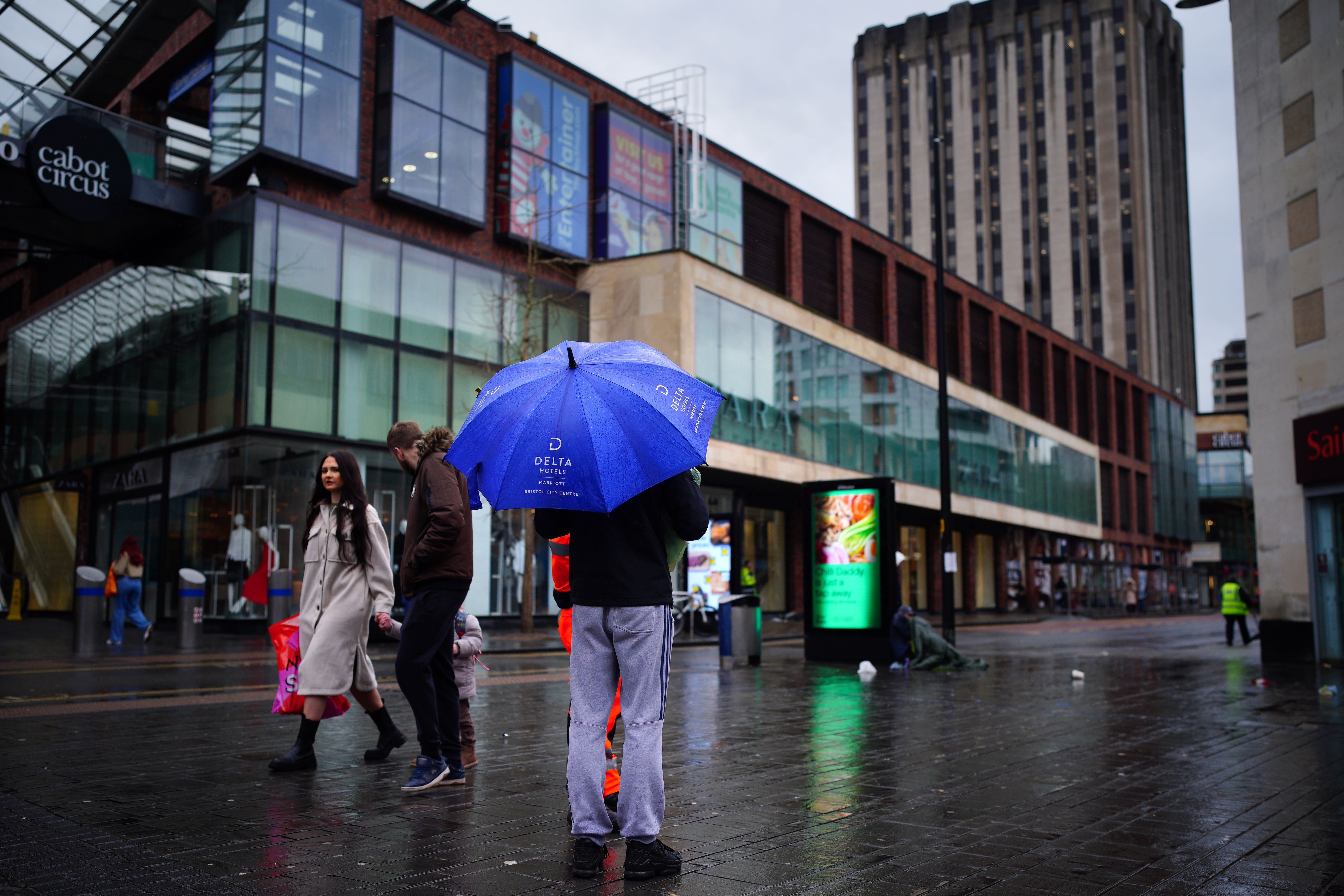
Schools closed and transport disrupted by ‘lively and active showers’
The Environment Agency had 73 flood warnings and 274 flood alerts in place in England by Thursday evening.

Your support helps us to tell the story
From reproductive rights to climate change to Big Tech, The Independent is on the ground when the story is developing. Whether it's investigating the financials of Elon Musk's pro-Trump PAC or producing our latest documentary, 'The A Word', which shines a light on the American women fighting for reproductive rights, we know how important it is to parse out the facts from the messaging.
At such a critical moment in US history, we need reporters on the ground. Your donation allows us to keep sending journalists to speak to both sides of the story.
The Independent is trusted by Americans across the entire political spectrum. And unlike many other quality news outlets, we choose not to lock Americans out of our reporting and analysis with paywalls. We believe quality journalism should be available to everyone, paid for by those who can afford it.
Your support makes all the difference.Schools have been closed and transport disrupted after a burst of “some quite lively and active showers” across England and Wales.
Heavy rain fell on already saturated ground, flooding roads and railway lines on Thursday.
The Environment Agency (EA) had 73 flood warnings – meaning flooding is expected – and 274 flood alerts in place in England by Thursday evening. National Resources Wales issued two flood warning and 22 flood alerts.
Met Office forecaster Simon Partridge said: “There has been some quite lively and active showers. A band of rain that moved across the country.
“At times it did turn very heavy and squally so there were some pretty strong winds and heavy downpours which were also followed by some very heavy and at times thundery showers.
“The rain came in some quite concentrated bursts.”
About 33mm of rain was recorded in Broadstairs, Kent, and there was hail and showers from western Scotland all the way down to Cornwall.
The strongest winds pounded the English Channel, with 63mph recorded on Portland in Dorset and 59mph on the Isle of Wight.
Inland gusts reached 35-45mph which was associated with the heaviest rain.
In Herefordshire and Worcestershire several schools closed because of rising flood levels and “treacherous road conditions”, councils said.
Many roads across the West Midlands in particular were submerged and rail operators worked to resolve issues on the tracks.
Transport for Wales and West Midlands Railway services operated a replacement bus service between Shrewsbury and Wolverhampton.
CrossCountry services between Birmingham New Street and Cheltenham Spa were affected by earlier flooding, and passengers were told that trains could be cancelled or delayed.
The route between Worcester Foregate Street and Hereford was also affected.
Great Western Railway said flooding disrupted services between Plymouth and Newton Abbot, with CrossCountry trains from Penzance also affected.
Mr Partridge said: “The main thing was that it (the rain) fell in quite a short space of time and so there were some areas which were seeing 20mm of rain in the space of an hour.
“It was just the fact that it was falling in a short space of time which caused issues, particularly with driving conditions on roads as there was lots of surface water and lots of surface spray – so travelling today wasn’t a lot of fun, particularly in the west where we saw some of the heaviest showers.
“Thankfully things are going to improve but with that we are going to see some cooler temperatures. Cooler air is going to move from behind that band of rain.
“Many people will see it will be noticeably colder on Friday than it was the day before.
“From now through the weekend and into next week temperatures will be about where they should be for the time of year – which may feel quite chilly as we have all become used to it being rather mild.
“It will be chillier days and colder nights.”
Temperatures could drop as low as minus 3C across north-eastern areas of Scotland, and elsewhere it will be low single figures, but frost should be limited because of the strength of the breeze, according to Met Office meteorologist Annie Shuttleworth
In an online forecast, she added: “It will stay breezy through Friday and we will see some quite blustery and heavy showers pushing in from the west.
“These bring a risk of thunder and hail, particularly for western areas, parts of Wales and parts of Scotland.”
Showers could move into the east by the afternoon and high temperatures of 7C-8C in the north and 9C-10C in the south are just above average for the time of year.