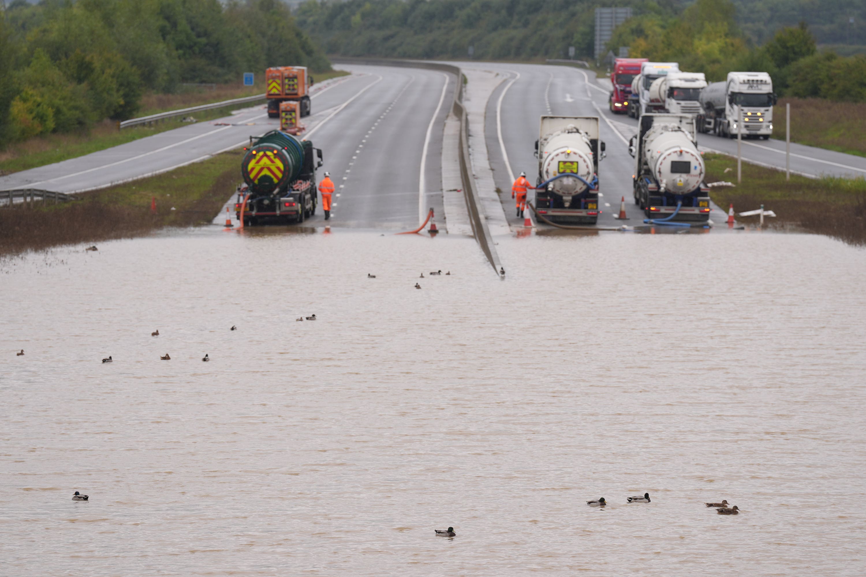
More scattered showers forecast but weather becoming more settled
Any initial heavy rainfall and cloud will turn lighter as the day progresses, the Met Office said.

Your support helps us to tell the story
From reproductive rights to climate change to Big Tech, The Independent is on the ground when the story is developing. Whether it's investigating the financials of Elon Musk's pro-Trump PAC or producing our latest documentary, 'The A Word', which shines a light on the American women fighting for reproductive rights, we know how important it is to parse out the facts from the messaging.
At such a critical moment in US history, we need reporters on the ground. Your donation allows us to keep sending journalists to speak to both sides of the story.
The Independent is trusted by Americans across the entire political spectrum. And unlike many other quality news outlets, we choose not to lock Americans out of our reporting and analysis with paywalls. We believe quality journalism should be available to everyone, paid for by those who can afford it.
Your support makes all the difference.Further showery spells are expected across England on Wednesday but drier, more settled weather conditions are set to arrive in the coming days.
Any initial heavy rainfall and cloud will turn lighter as the day progresses with a new weather front moving recent unsettled conditions south over the English Channel, the Met Office said.
It comes after large parts of England and Wales were hit with intense downpours at the start of the week and Met Office figures showed 10 English counties experienced their wettest September on record.
Areas across England have suffered heavy rain, high winds and flooding in recent weeks, with hundreds of properties and farmland flooded and widespread travel disruption with roads closed and rail services suspended.
The Environment Agency had 35 flood warnings, meaning flooding is expected, and 135 flood alerts in place across England late on Tuesday evening.
Clare Nasir, meteorologist at the Met Office, said: “Showers become confined to the Midlands south-eastwards as we head through the morning into the afternoon on Wednesday, and the cloud is breaking up further west across Wales as well.
“We hang on to those showers, fleeting at times, with a wind coming in from the North East through the latter part of tomorrow, so even here you’ll still see some showers, but not the intense rain that we have seen through the last month, off and on.”
Largely fine but chilly conditions are expected across most of Scotland and Northern Ireland, with early cloud also breaking up in northern English counties to create drier, more mild conditions, Ms Nasir said.
Temperatures will widely be around the seasonal average, with highs of 17C in South Wales and south-east England.
Southern England had its wettest September since 1918, and its third wettest in records dating back to 1836, the Met Office said.
England saw 95% above-average rainfall and Wales had 37% more for the month, but Scotland was 37% below average and Northern Ireland was 18% down.