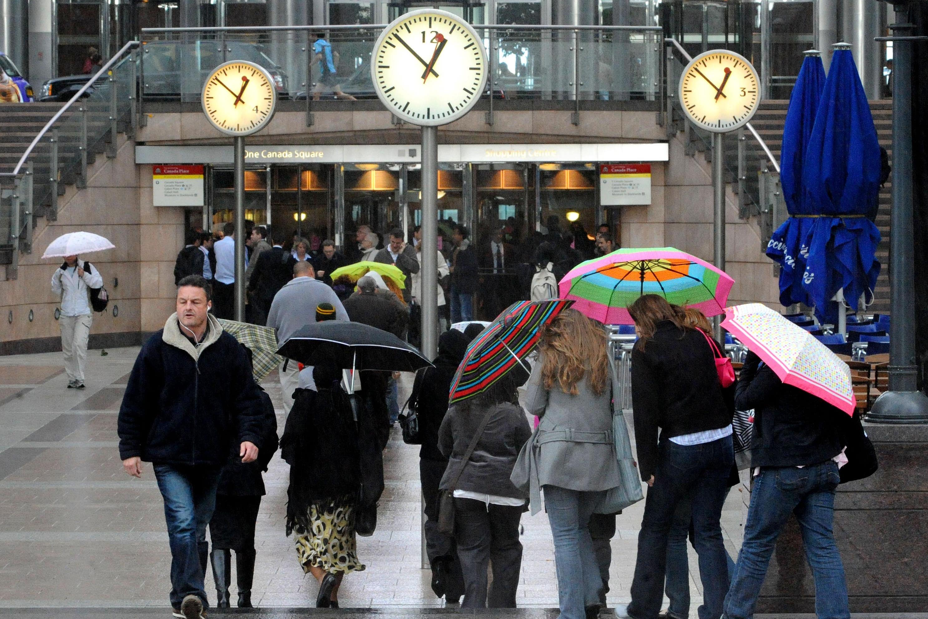
Downpours to give way to dry and warmer weather at end of August
Last year was the first time temperatures rose above the 40C mark in the UK.

Your support helps us to tell the story
From reproductive rights to climate change to Big Tech, The Independent is on the ground when the story is developing. Whether it's investigating the financials of Elon Musk's pro-Trump PAC or producing our latest documentary, 'The A Word', which shines a light on the American women fighting for reproductive rights, we know how important it is to parse out the facts from the messaging.
At such a critical moment in US history, we need reporters on the ground. Your donation allows us to keep sending journalists to speak to both sides of the story.
The Independent is trusted by Americans across the entire political spectrum. And unlike many other quality news outlets, we choose not to lock Americans out of our reporting and analysis with paywalls. We believe quality journalism should be available to everyone, paid for by those who can afford it.
Your support makes all the difference.Dry weather is likely to hit the UK at the end of August but conditions are unlikely to reach anywhere near the sweltering conditions of last year.
The Met Office has forecast warmer weather for next month as downpours continue for much of this week.
A spokesman for the Met Office, Stephen Dixon, told the PA news agency: “There are some signals for later in August of an increased chance of some some drier spells.
“There’s no strong signals for any kind of prolonged or extended heat that we saw last year but there are some some warmer interludes possible, more likely later in August.”
Last year was the first time the mercury rose above the 40C mark in the UK.
Mr Dixon added that the UK is on the northern side of the Jet Stream, bringing low pressure, instead of the southern side, which has developed heat over southern Europe.
He said: “Typically we are to the south of that jet stream and what that allows and what it allowed last summer is for a high pressure to build over the UK, and allows the UK to kind of draw up warmer air from from the south.
“More air was kind of fed in from the equator almost and moved over the UK and so that high pressure, coupled with the time of year it was, allowed that day on day to rise to the UK to that record level of 40.3C that we saw at Coningsby in July.
“We just haven’t been in that weather pattern this summer.
“It’s down to that jet stream and how it how it develops weather towards the UK.
“At the moment, it’s kind of directed towards the UK, which helps to develop these low pressure systems and gives us a bit of a little autumnal-feel for the weather that we’ve seen in recent weeks and yeah, not so much for what we saw last year.”
Temperatures of 40.3C was recorded in Coningsby, Lincolnshire on July 19 2022.
The average night and daytime temperature for August last year was 16.6C.
This week, the Met Office is forecasting more wet and windy weather with some dry spells.
On Tuesday, Mr Dixon said the weather will be mainly cloudy with some sun aside from southern Scotland and northern England which will have wet and rainy weather and some isolated rainy showers further south as well.
Rain is forecast to increase overnight tomorrow as windy weather on Wednesday moves towards the east, particularly hitting the southern coast.
Mr Dixon said: “As we head out to the end of the week, that unsettled theme continues, albeit not to the same extent as seen on Wednesday.
“Some drizzly rain around on Thursday and cloud continuing.
“On Friday, the better weather is more likely further west with more frequent showers in the east on Friday and then in the weekend, it looks likely for another low pressure system to influence things from the west again… but another unsettled weekend to come.”
Temperatures are forecasted for between 15 and 20C for the coming week.