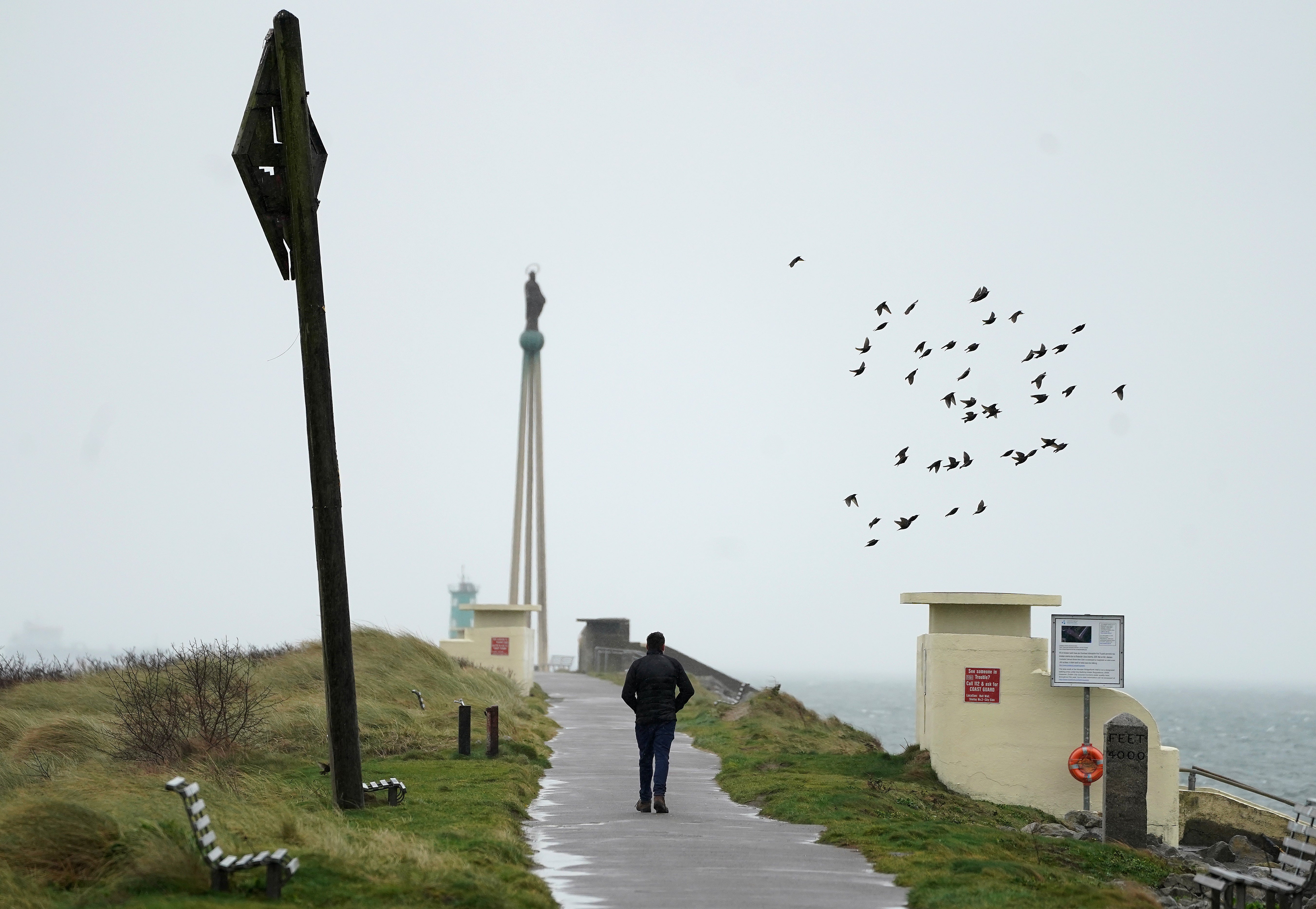
High winds and rain hit island of Ireland as weather warnings issued
It is anticipated that Storm Eunice will hit the island on Thursday night, bringing further wind, snow and the possibility of snow

Your support helps us to tell the story
From reproductive rights to climate change to Big Tech, The Independent is on the ground when the story is developing. Whether it's investigating the financials of Elon Musk's pro-Trump PAC or producing our latest documentary, 'The A Word', which shines a light on the American women fighting for reproductive rights, we know how important it is to parse out the facts from the messaging.
At such a critical moment in US history, we need reporters on the ground. Your donation allows us to keep sending journalists to speak to both sides of the story.
The Independent is trusted by Americans across the entire political spectrum. And unlike many other quality news outlets, we choose not to lock Americans out of our reporting and analysis with paywalls. We believe quality journalism should be available to everyone, paid for by those who can afford it.
Your support makes all the difference.Ireland is facing high winds and heavy rain, as both sides of the Irish border brace for the impact of two storms.
Storm Dudley and Storm Eunice are expected to cause significant disruption across the island over the coming days, with flooding possible in some areas.
A Status Yellow wind warning remains in place until 11.30pm on Wednesday for the entirety of the Republic of Ireland, with gusts expected to reach 110km per hour.
In Northern Ireland, the Met Office has issued an amber wind warning for Co Antrim and Co Derry, with yellow warnings in place for the rest of the region.
That yellow warning will remain in place until 6am on Thursday, with the amber warning in place until midnight on Wednesday.
Storm Dudley is expected to clear away on Wednesday night, after a day of heavy rain and strong winds, according to Met Eireann.
It is anticipated that Storm Eunice will hit the island on Thursday night, bringing further wind, snow and the possibility of snow.
Met Eireann meteorologist Matthew Martin said: “We’re keeping a very close eye on the forecast for Friday as Storm Eunice is expected to bring some challenging weather conditions, especially on Friday morning as strong winds, heavy rain and snow moves across the country.
“At the moment it looks like northern and western areas are most likely to see the heaviest snowfalls, with southern areas expected to see the strongest winds, however we’re still a few days ahead and the details of when and where are likely to change.
“With this in mind, we’re urging people to keep a very close eye on the forecast and warnings for their area as these may change in the coming days.”
Police in the Republic of Ireland have already warned people to exercise caution, amid concerns about flooding in some areas.
Poor conditions will return again on Friday, as Storm Eunice hits Ireland and brings with it more threats of flooding.
A Status Yellow wind, rain and snow warning will take effect in the Republic from 1am on Friday and will last until 3pm.
On Wednesday afternoon, Met Eireann upgraded its warning for a number of Irish counties, with a Status Orange wind warning issued for Clare, Cork, Kerry, Limerick, Waterford, Galway, Wexford.
It will take effect from 5am on Friday and will last until 11am, with 130km per hour gusts predicted in some areas.
The Met Office has also issued a yellow warning for Northern Ireland from 3am on Friday, lasting until 6pm the same day.
On Tuesday, a meeting was held with members of the Irish Government committee charged with planning and co-ordinating responses to extreme weather events.
That body continues to monitor the situation, amid fears of storm-related disruptions.