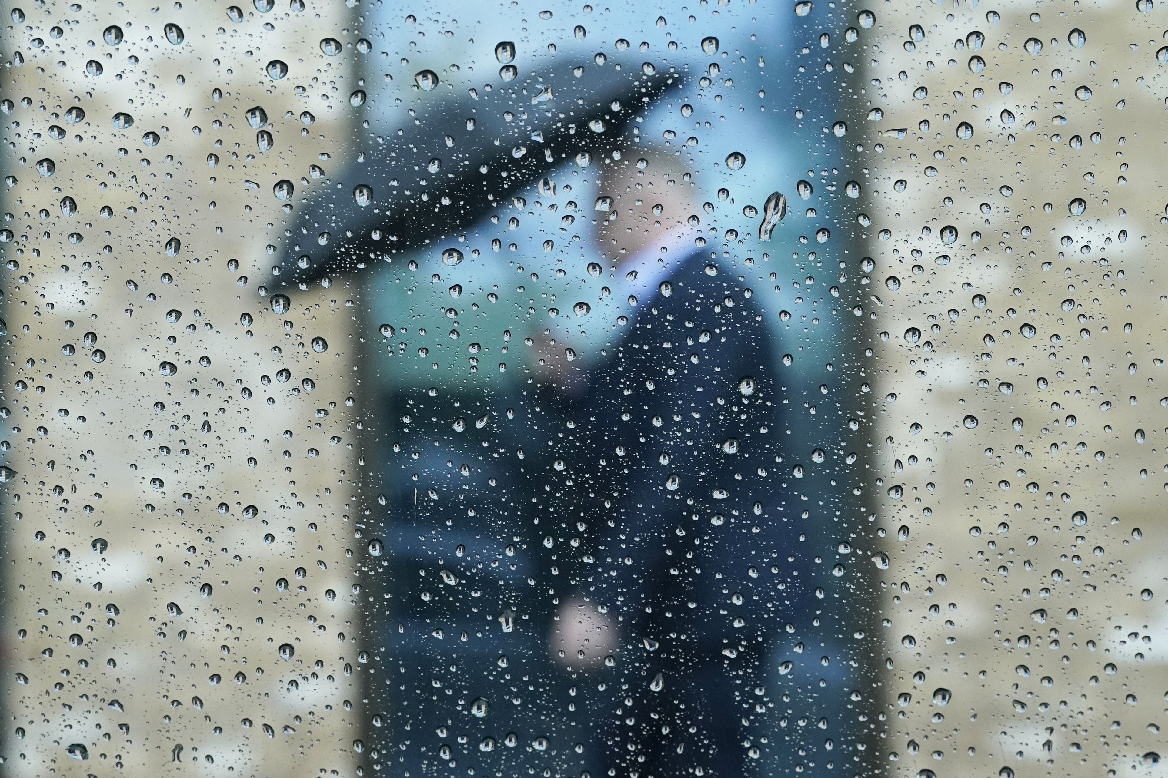
Thunderstorms and downpours set to hit south-west England and Northern Ireland
Met Office warnings are in place on Tuesday.

Your support helps us to tell the story
From reproductive rights to climate change to Big Tech, The Independent is on the ground when the story is developing. Whether it's investigating the financials of Elon Musk's pro-Trump PAC or producing our latest documentary, 'The A Word', which shines a light on the American women fighting for reproductive rights, we know how important it is to parse out the facts from the messaging.
At such a critical moment in US history, we need reporters on the ground. Your donation allows us to keep sending journalists to speak to both sides of the story.
The Independent is trusted by Americans across the entire political spectrum. And unlike many other quality news outlets, we choose not to lock Americans out of our reporting and analysis with paywalls. We believe quality journalism should be available to everyone, paid for by those who can afford it.
Your support makes all the difference.Thunderstorms and “intense” downpours are set to hit parts of south-west England and Northern Ireland.
Up to 2in of rain could fall over a few hours in Cornwall, Devon, Dorset, Plymouth, Somerset, Torbay and in western parts of Northern Ireland on Tuesday.
Frequent lightning strikes and hail may also be seen, the Met Office’s yellow thunderstorm warnings said.
Both warnings last until 9pm on Tuesday.
They say people should expect possible spray and sudden flooding, which may cause power cuts, transport cancellations and damage to buildings.
Amy Bokota, a Met Office forecaster, said: “The downpours could be slow moving, and that’s the main trouble, the wind’s quite light at the moment so when they do form, they could be quite slow moving and intense.”
She added: “Where you see them they could be quite intense and dramatic, but not everywhere’s going to see them and some places just down the road could be completely fine and shower and thunderstorm-free.”
It will come before an area of low pressure approaches the UK from the east on Wednesday, bringing heavy, prolonged rainfall to eastern parts of the country.