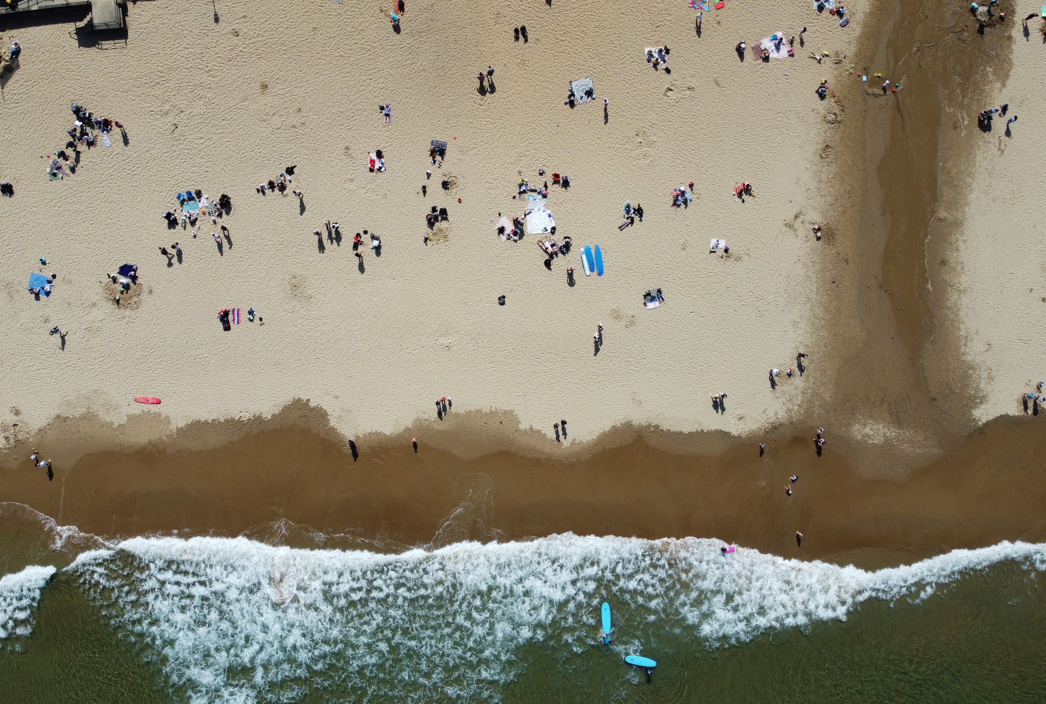
Tuesday predicted to be hottest day of the year so far
The Met Office predicts Tuesday will be “dry and very warm in sunny spells” across central and eastern parts of the UK.
Your support helps us to tell the story
From reproductive rights to climate change to Big Tech, The Independent is on the ground when the story is developing. Whether it's investigating the financials of Elon Musk's pro-Trump PAC or producing our latest documentary, 'The A Word', which shines a light on the American women fighting for reproductive rights, we know how important it is to parse out the facts from the messaging.
At such a critical moment in US history, we need reporters on the ground. Your donation allows us to keep sending journalists to speak to both sides of the story.
The Independent is trusted by Americans across the entire political spectrum. And unlike many other quality news outlets, we choose not to lock Americans out of our reporting and analysis with paywalls. We believe quality journalism should be available to everyone, paid for by those who can afford it.
Your support makes all the difference.A plume of warm air from the Continent is set to make Tuesday the hottest day of the year so far, with highs of 26C or 27C expected in the south-east of England.
The Met Office predicts Tuesday will be “dry and very warm in sunny spells” across central and eastern parts of the UK.
But clouds and heavy rain in the west will spread into central areas of the UK into Tuesday evening, the forecaster anticipates.
East Anglia could see highs of 27C on Tuesday, with the south-west of England also basking in balmy temperatures of 24C and northern Scotland enjoying a slightly cooler 18C.
The Met Office’s Richard Miles said on Monday that London and the south-east are likely to see the highest temperatures on Tuesday, with the mercury rising to 25C or 26C.
That would be the hottest day recorded so far in 2022, said Mr Miles.
The highest temperature recorded so far this year was 23.6C in Faversham, Kent, on May 6.
Mr Miles said: “Today you might see up to 23C in the south-east so it won’t be so outlierish tomorrow, maybe up to 25C and possibly 26C where the sunshine really hangs around in the south-east.
“Obviously the warmest temperatures of the year so far, it is largely confined to the south-east of England; other areas will be generally fine but not quite as warm.
“There is a risk, certainly today, of quite a bit of rain around.
“Tomorrow, drier, although there will be some convective showers.”
He added: “The main reason for the warmth will be the higher pressure of the continent which is where the plume of warmer air will reach into the south of the UK, so it is basically a warm air flow from the continent to the south, but it is being pushed further eastwards then maybe it looked last week.”
Mr Miles said the balmy temperatures in the south-east will be met with the “westerly systems bringing the more unpredictable and showery weather”.
He added: “The story of the week will really be low pressure systems in the Atlantic will be pushing up weather fronts in the western side of the country.
“Pushing and bringing up frontal rain and, in the south and the east of the country, where the warm air from the continent is causing some convection, that will produce showers in those areas.
“There are two different ways weather is delivered but everyone will get some, but tomorrow will be largely nice and the warmest day of the week.”
He predicted the weather will “generally be cooling” from Wednesday until the weekend, when temperatures will be “about the average for the time of year”.