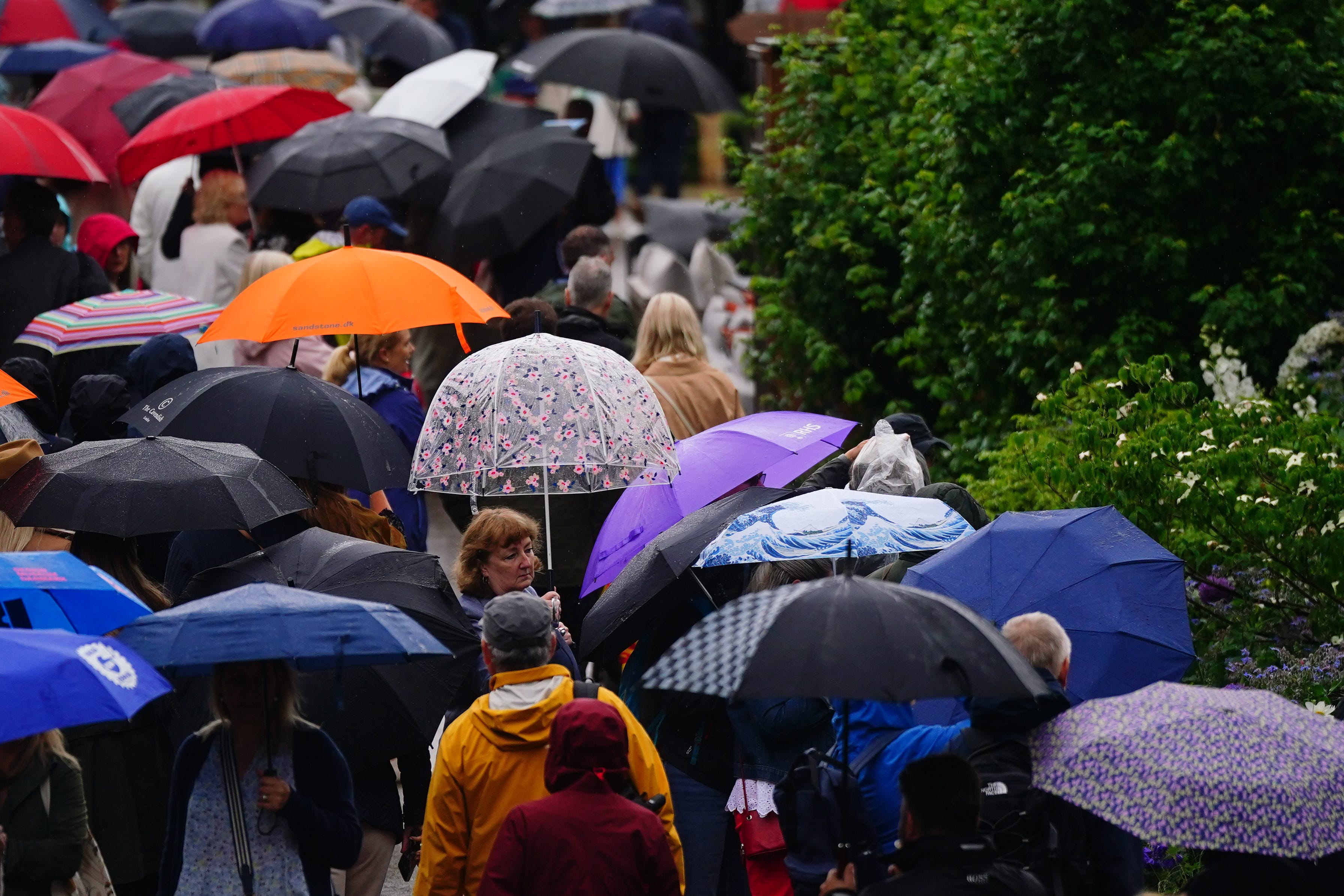
‘Worst yet to come’ as UK braces for more heavy rain and flooding
A 24-hour amber warning for rain has been in place across parts of north Wales and north-west England since midday on Wednesday.

Your support helps us to tell the story
From reproductive rights to climate change to Big Tech, The Independent is on the ground when the story is developing. Whether it's investigating the financials of Elon Musk's pro-Trump PAC or producing our latest documentary, 'The A Word', which shines a light on the American women fighting for reproductive rights, we know how important it is to parse out the facts from the messaging.
At such a critical moment in US history, we need reporters on the ground. Your donation allows us to keep sending journalists to speak to both sides of the story.
The Independent is trusted by Americans across the entire political spectrum. And unlike many other quality news outlets, we choose not to lock Americans out of our reporting and analysis with paywalls. We believe quality journalism should be available to everyone, paid for by those who can afford it.
Your support makes all the difference.The Met Office has warned the “worst is yet to come” as parts of the UK see up to a month’s rainfall in 24 hours.
A 24-hour amber warning for rain has been in place across parts of Morth Wales and north-west England, including Manchester and Liverpool, since midday on Wednesday.
A yellow warning for rain covers the north of England, the Midlands and north and central Wales until 6am on Thursday, while another is also in place for southern and eastern Scotland until 6pm tomorrow.
Much of the south coast is likely to see lightning, with a yellow warning for thunderstorms in place until 7pm on Wednesday.
Tom Morgan, a meteorologist at the Met Office, told the PA news agency that the “worst is yet to come”.
He said: “There was a lot of rainfall overnight in the north-west and southern Scotland, as well as in areas such as the Midlands, East Anglia and the Home Counties.
“The wettest area was Drayton Parslow in Buckinghamshire which saw 68.8mm in the last 24 hours. That’s almost a month’s rainfall in one day. For comparison, most other areas have seen an average of half a month’s rain in the same amount of time.
“But there is a lot of rain still to come in the next 12 to 24 hours, particularly in north Wales and north-west England. There could be some flooding in north Wales until midday on Thursday.”
Jonathan Day, flood duty manager at the Environment Agency, said: “Heavy and persistent rain means significant inland flooding is probable in parts of the North West of England and possible more widely today and into tomorrow.
“Significant surface water flooding is also possible across the South of England, where heavy showers and thunderstorms are likely.
“Environment Agency teams are out on the ground and ready to respond, including through the possible operation of flood basins in the Greater Manchester area to store water.
The bank holiday weekend will likely see a mix of sunshine and showers, with temperatures expected to be back up to the low 20s
“We urge people to stay away from swollen rivers and not to drive though flood water – it is often deeper than it looks and just 30cm of flowing water is enough to float your car.”
Conditions are then expected to improve as the low pressure responsible for the wet weather begins to ease off.
The Met Office’s Mr Morgan said: “The bank holiday weekend will likely see a mix of sunshine and showers, with temperatures expected to be back up to the low 20s.”