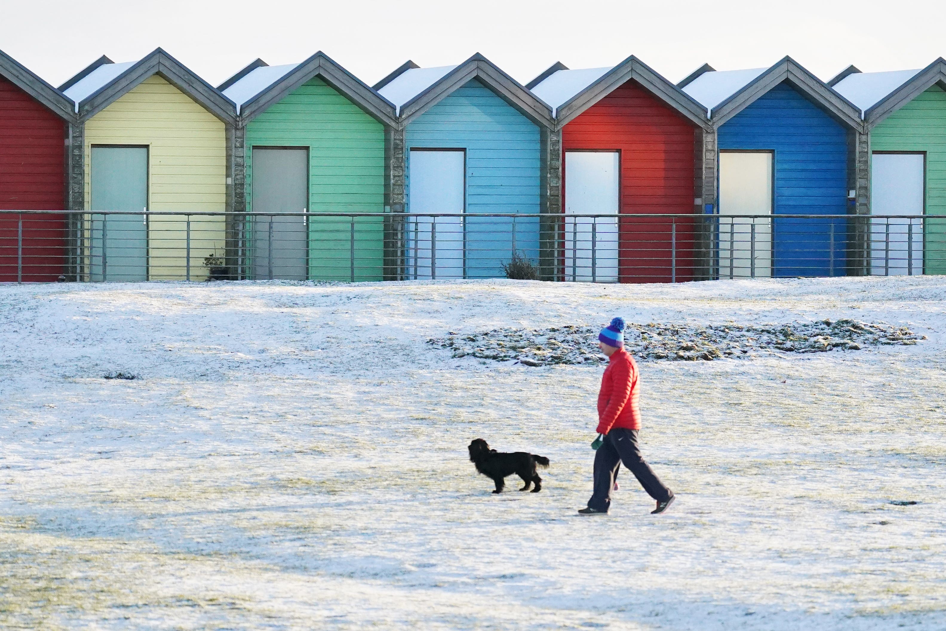
UK braces for ‘disruptive snow’, ice and cold temperatures
Up to 20cm of snow may accumulate in the worst affected areas in the country’s ‘first taste of winter’, the Met Office said.

Your support helps us to tell the story
From reproductive rights to climate change to Big Tech, The Independent is on the ground when the story is developing. Whether it's investigating the financials of Elon Musk's pro-Trump PAC or producing our latest documentary, 'The A Word', which shines a light on the American women fighting for reproductive rights, we know how important it is to parse out the facts from the messaging.
At such a critical moment in US history, we need reporters on the ground. Your donation allows us to keep sending journalists to speak to both sides of the story.
The Independent is trusted by Americans across the entire political spectrum. And unlike many other quality news outlets, we choose not to lock Americans out of our reporting and analysis with paywalls. We believe quality journalism should be available to everyone, paid for by those who can afford it.
Your support makes all the difference.The UK is braced for “disruptive snow”, ice and cold temperatures over the coming days, the Met Office has said.
Up to 20cm of snow may accumulate in the worst affected areas in the country’s “first taste of winter”, according to the forecaster.
The Met Office has issued several yellow weather warnings for snow and ice for parts of the UK that began on Sunday afternoon and are in place until Tuesday morning, but said there is “potential” for warnings to be “escalated”.
On Monday, a warning comes into force at 7pm and is in place until 10am on Tuesday – covering areas in the East Midlands, Yorkshire, Wales and the north of England overnight.
Within the affected areas, there is a chance of power cuts, disruption to road and public transport and the risk of injury from slipping on ice, the weather service said.
Tom Morgan, Met Office meteorologist, said: “We could see some disruptive snow in the Pennine regions, in particular, the Peak District as well, especially Monday night, but we could well see some impacts lasting on until Tuesday morning’s rush hour.
“Even down to lower levels, we could well see some snow as well, so quite a bit of disruption possible by Tuesday morning, and then the week ahead is likely to stay cold nationwide, a windy day on Tuesday, and then winter showers through the week ahead.”
Mr Morgan said that despite a “mild” start to the month, the cold conditions are more typical of “mid-winter to late-winter”.
“What we can say is that it’s going to be very cold for the for the time of year, there will be widespread overnight frosts, and a few locations where there’s snow on the ground,” he continued.
In southern England, a typical maximum temperature for this time of year is 11C, but daytime highs for the week ahead are forecast to be around 5C, while some parts of Scotland will reach “only just above freezing”, Mr Morgan added.
The meteorologist said the public can best prepare for the wintry weather by checking their cars are suitable for icy and potentially snowy conditions and to take extra supplies including food, blankets and a fully-charged mobile phone with them on journeys.
He added that there was “likely” to be changes to the weather warnings in the coming days, and that “winter flurries” could be seen in the south of England later in the week.
Despite the cold conditions, the “whole of the UK” will enjoy more sunshine this week, the meteorologist added.
He said: “There’ll be some snow showers in the peripheries of the UK, particularly northern Scotland, and down the east and the west coast, but if you live inland and you live in the south, there’ll be lots of sparkly blue skies on the most days through Tuesday to Friday.”