Hurricane Joaquin set to reach the UK next week - but storm-like conditions not expected
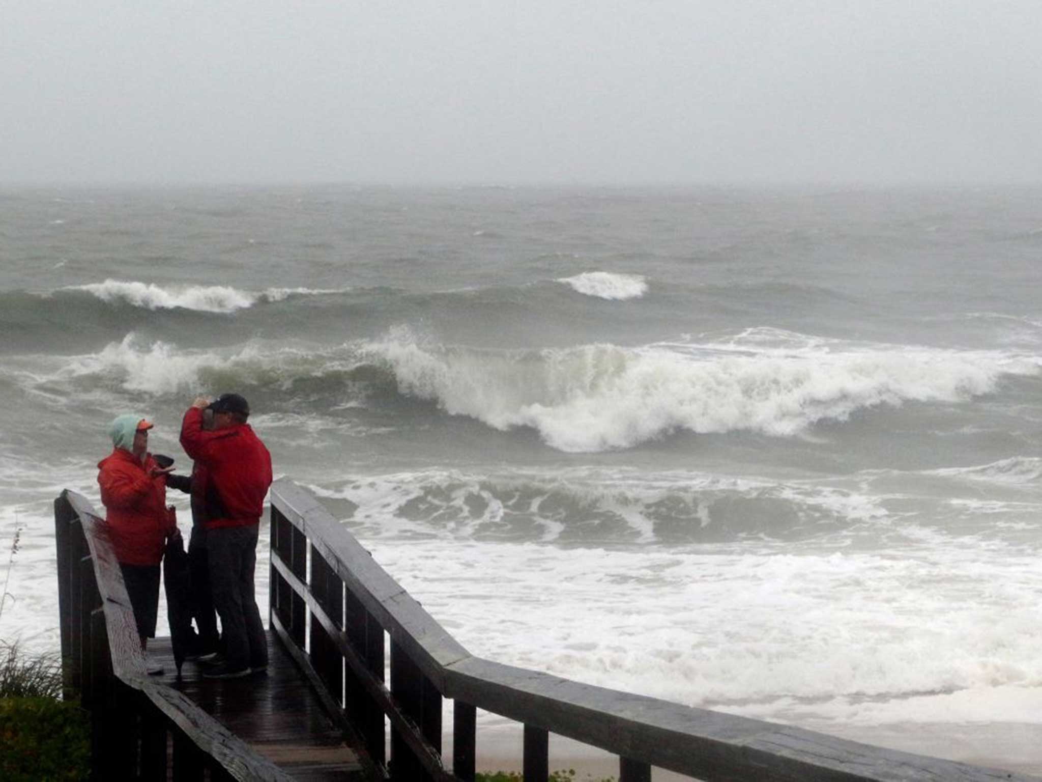
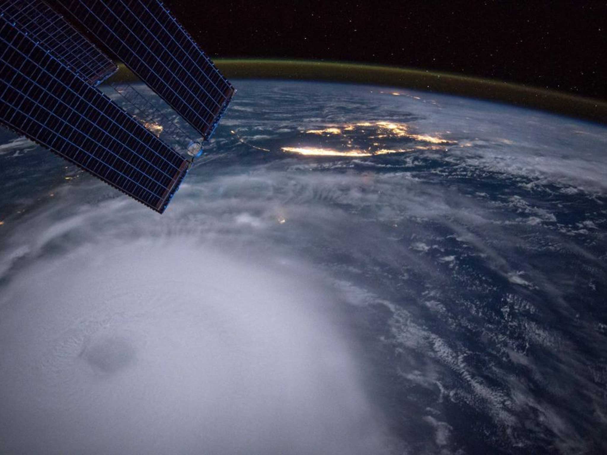
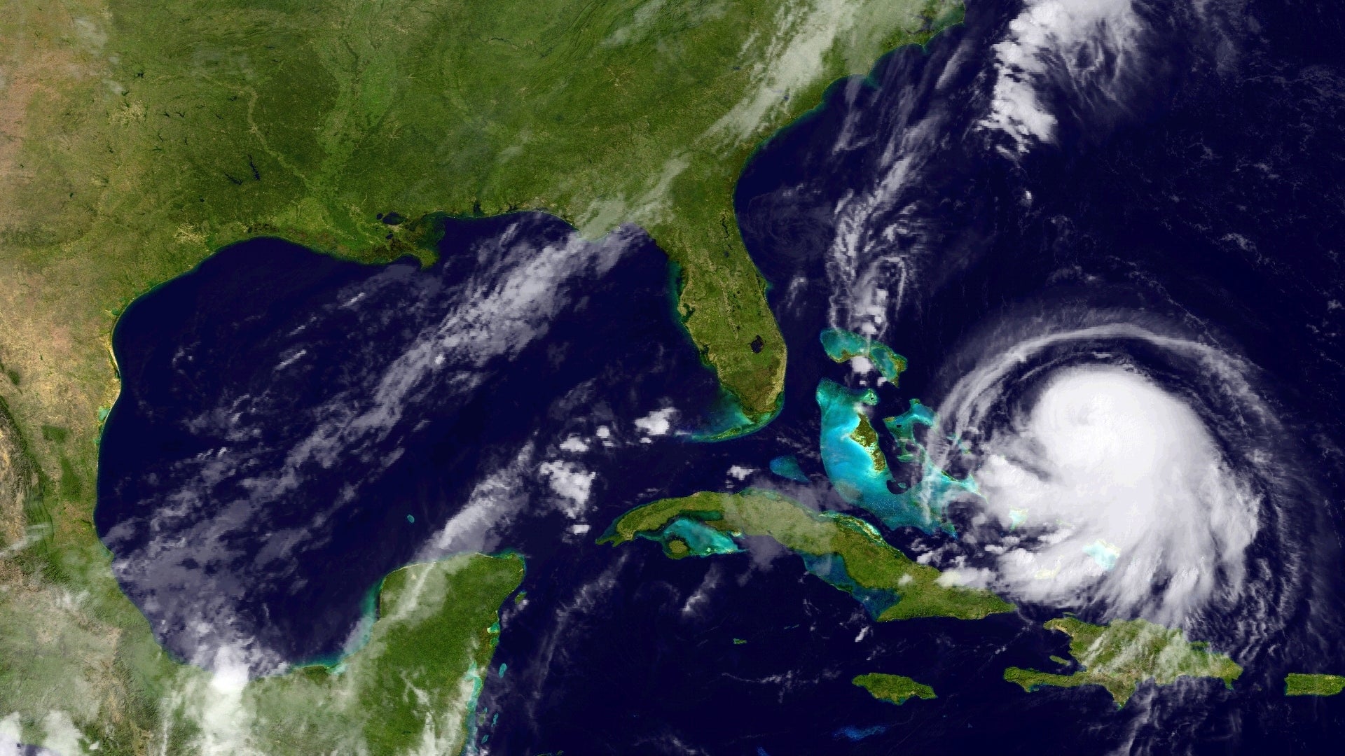
The category 3 storm recently changed direction and is heading towards Bermuda

Your support helps us to tell the story
From reproductive rights to climate change to Big Tech, The Independent is on the ground when the story is developing. Whether it's investigating the financials of Elon Musk's pro-Trump PAC or producing our latest documentary, 'The A Word', which shines a light on the American women fighting for reproductive rights, we know how important it is to parse out the facts from the messaging.
At such a critical moment in US history, we need reporters on the ground. Your donation allows us to keep sending journalists to speak to both sides of the story.
The Independent is trusted by Americans across the entire political spectrum. And unlike many other quality news outlets, we choose not to lock Americans out of our reporting and analysis with paywalls. We believe quality journalism should be available to everyone, paid for by those who can afford it.
Your support makes all the difference.Don’t panic: the arrival of Hurricane Joaquin in the UK next week won’t bring hundred-mile-an-hour winds and terrifying storm conditions.
The Met Office confirmed although Hurricane Joaquin is en route to the UK only remnants of the category three storm – currently moving towards Bermuda in the Western Atlantic – will reach British shores.
“The UK’s weather will be affected by the storm,” Met spokesperson Helen Roberts said. “But it will be very modified so there will be no features of a hurricane left.”

Ms Roberts said the UK’s weather “often experienced the remnants of tropical storms after they crossed the Atlantic.”
Hurricane Joaquin recently changed direction and as it moved away from the Bahamas. Meteorologists have recorded sustained wind speeds of roughly 125mph.
“It happens a few times a year,” she told The Independent.
Although the storms are usually difficult for northern European weather systems to predict, Ms Roberts said Britain could expect two – very different – weather systems next week.

The warm, most, tropical air could build into a high pressure front and bring “fine weather” or over the Atlantic the storm’s remnants may develop into a “low pressure front and bring wet and windy conditions.”
Ms Roberts added: “There is a lot of modification and miles for the hurricane to cover before it reaches us.”
Join our commenting forum
Join thought-provoking conversations, follow other Independent readers and see their replies
Comments