UK weather: Thunderstorm warnings in southeast England
Expect poor visibility and wet roads, Met Office says
Your support helps us to tell the story
From reproductive rights to climate change to Big Tech, The Independent is on the ground when the story is developing. Whether it's investigating the financials of Elon Musk's pro-Trump PAC or producing our latest documentary, 'The A Word', which shines a light on the American women fighting for reproductive rights, we know how important it is to parse out the facts from the messaging.
At such a critical moment in US history, we need reporters on the ground. Your donation allows us to keep sending journalists to speak to both sides of the story.
The Independent is trusted by Americans across the entire political spectrum. And unlike many other quality news outlets, we choose not to lock Americans out of our reporting and analysis with paywalls. We believe quality journalism should be available to everyone, paid for by those who can afford it.
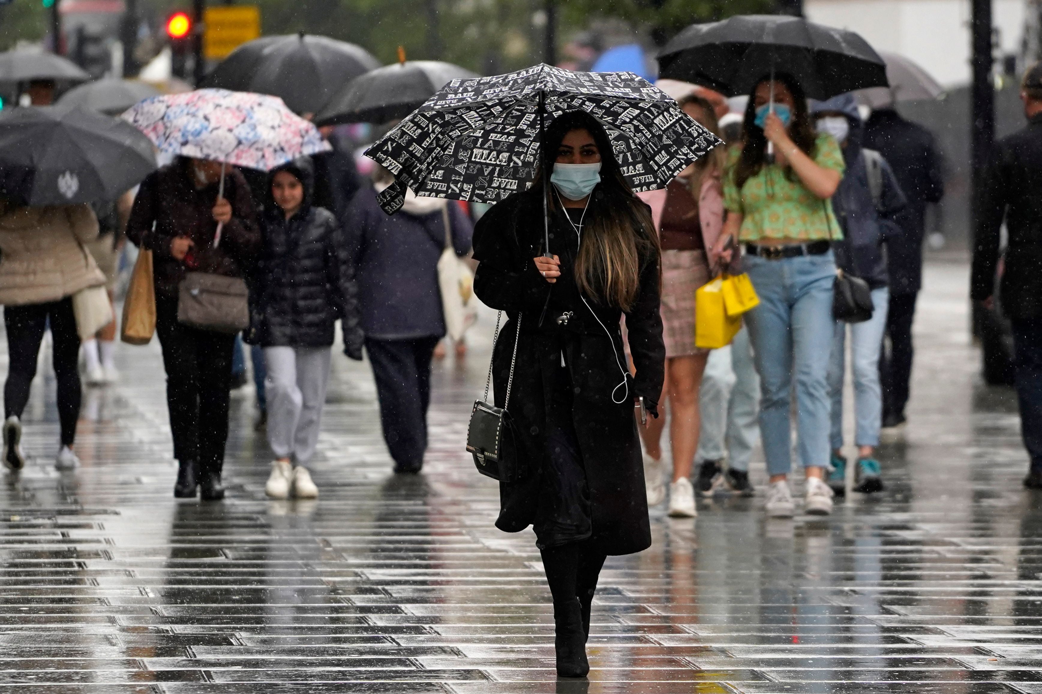
Your support makes all the difference.Millions of people across the southeast of England are braced for yet more rain, with thunderstorm warnings in force through today.
The “warning zone” covers a broad sweep of the southeast and East Anglia, covering Hull, Norwich, London, Southampton and Birmingham. Strong winds are also expected as the storm develops on Friday morning, while areas of the southeast including Kent can expect torrential downpour.
As the day progresses, the rain will move in a northwesterly direction, expected to drench the eastern Midlands, central and southern England by lunchtime.
The Met Office warned people to expect poor visibility and wet roads, as well as torrential rain and lightning.
A stretch of cloud covers the Midlands and the southeast, with showers expected. A weather warning will be in place throughout Friday and into the early hours of Saturday morning, the Met Office said.
Scotland’s Friday is off to a bright and chilly start, with some clouds around the east and the occasional shower across the north, according to the Met Office.
The sunshine in much of Scotland’s central belt will extend down to Cumbria, Lancashire and Chester as well as the north and the west of Wales and much of Northern Ireland.
Scotland, northwest England, west Wales, and Northern Ireland will enjoy sunshine on Friday morning and afternoon.
Looking forward towards the weekend, the weather is likely to settle on Saturday before more showers on Sunday.
Join our commenting forum
Join thought-provoking conversations, follow other Independent readers and see their replies
Comments