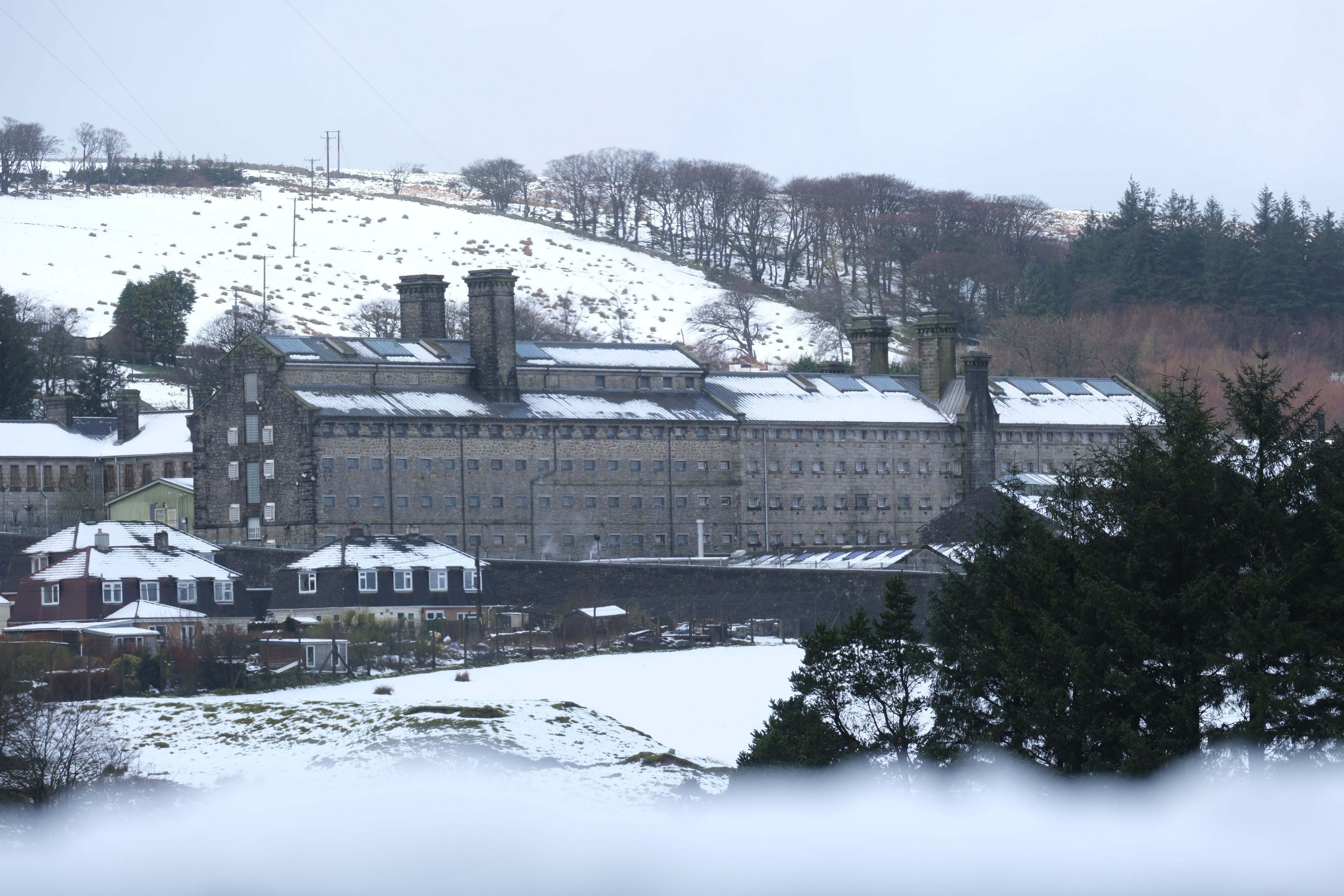
Where snow could hit UK on New Year’s Day
Snow will first fall over northern Scotland before moving further south at around 6pm on Monday

Your support helps us to tell the story
From reproductive rights to climate change to Big Tech, The Independent is on the ground when the story is developing. Whether it's investigating the financials of Elon Musk's pro-Trump PAC or producing our latest documentary, 'The A Word', which shines a light on the American women fighting for reproductive rights, we know how important it is to parse out the facts from the messaging.
At such a critical moment in US history, we need reporters on the ground. Your donation allows us to keep sending journalists to speak to both sides of the story.
The Independent is trusted by Americans across the entire political spectrum. And unlike many other quality news outlets, we choose not to lock Americans out of our reporting and analysis with paywalls. We believe quality journalism should be available to everyone, paid for by those who can afford it.
Your support makes all the difference.Britons are bracing for snowfall and a sharp drop in temperatures that are set to go as low as -2C on New Year’s Eve for some.
The Met Office’s long-range forecast indicates that the mild and settled weather of the last few days will rapidly change as we approach the start of a new year.
Snow will first fall over northern Scotland before moving further south at around 6pm on Monday.
As the evening progresses the snowfall is expected to get heavier and on Tuesday could start moving further south to other parts of the UK.
Scotland will also be lashed by heavy rains and winds which will also be prevalent in the north and west of the UK.

Met Office meteorologist Tom Morgan said: “Not a lot changes through the rest of this week and indeed this weekend, but as we move towards the New Year, we could see a change to cooler conditions and wetter conditions more widely.
“There could be some heavy rain at times and there is an increasing chance of some snow - but it’s too early to say where that snow is going to fall.”
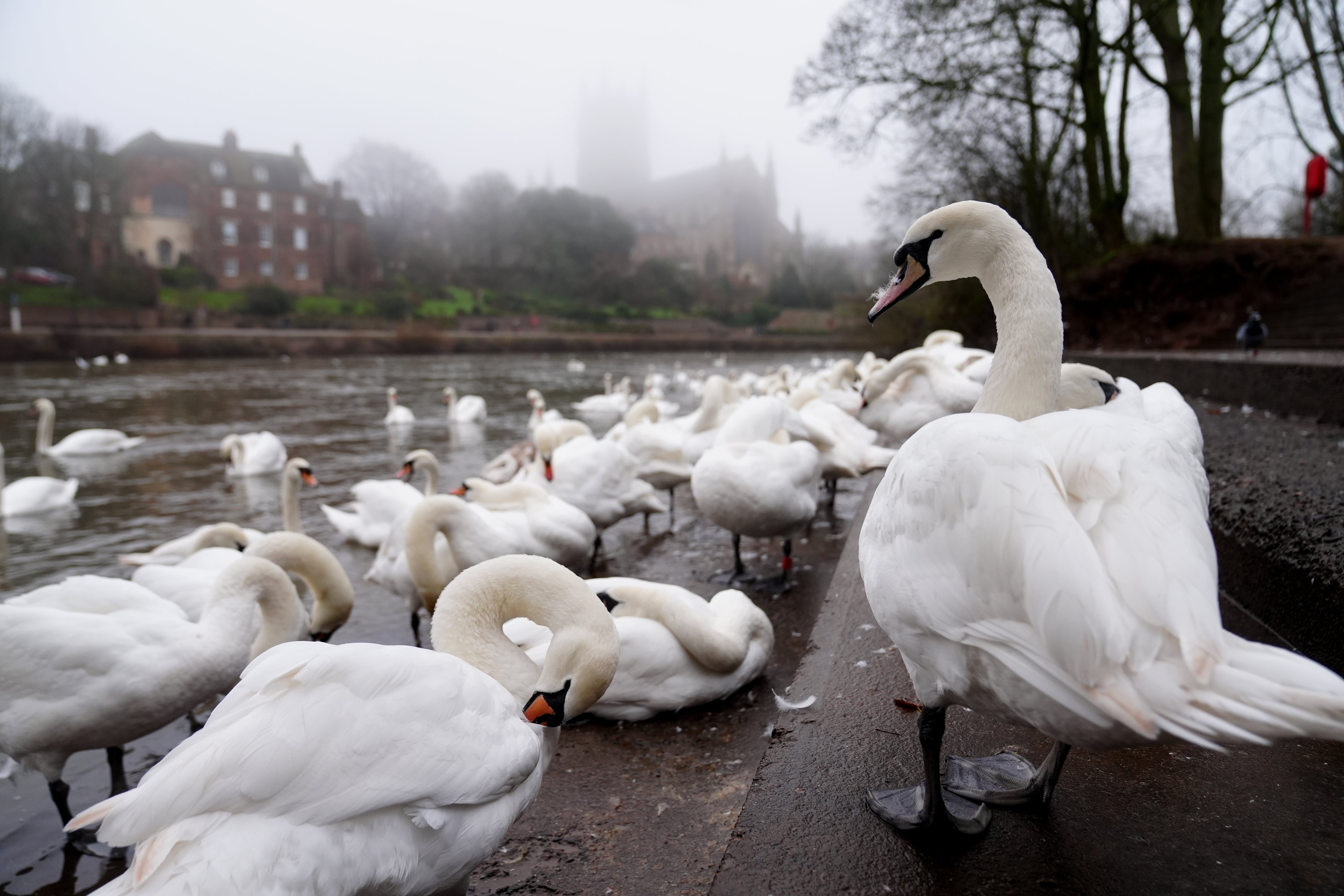
Meanwhile, Boxing Day walkers and swimmers saw a grey and mild day with some drizzle in places.
Conditions on Friday are expected to be “very similar” to Boxing Day, with temperatures of around 10C to 13C accompanied by cloud and patchy drizzle across Wales and south-west England, he continued.
Over the weekend, conditions in Scotland will be “a little bit winder and a little bit wetter”, with cloud and showers predicted elsewhere.
Join our commenting forum
Join thought-provoking conversations, follow other Independent readers and see their replies
Comments