Mapped: Yellow thunderstorm warnings issued as temperatures hit 30C for first time this year
Parts of the country are predicted to be hotter than Marbella, Ibiza and Tenerife this weekend
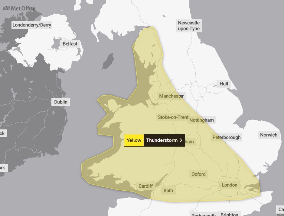
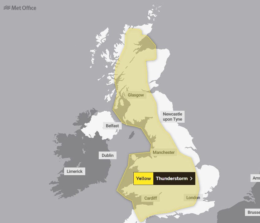
Yellow warnings for thunderstorms across swathes of England have been issued by the Met Office as temperatures reach 30C for the first time this year.
Maps reveal the areas where thunderstorms could hit this weekend amid forecasts of torrential rain and scorching hot conditions.
30.5C was recorded at Heathrow on Saturday as warm air from the south causes temperatures to soar.
Two thunderstorm alerts are in force for Saturday and Sunday, covering cities including Manchester, Cardiff and London and Glasgow.
The Met Office warnings say there is a “small chance” that homes and businesses in the affected areas could be flooded as a result of heavy rain.


Spray and excess water on the roads could also lead to car journeys being delayed, it added. There is also a small chance of power cuts and cancellations to rail services.
Authorities have already issued a warning for heat this weekend with temperatures set to peak at 31C in South East England.
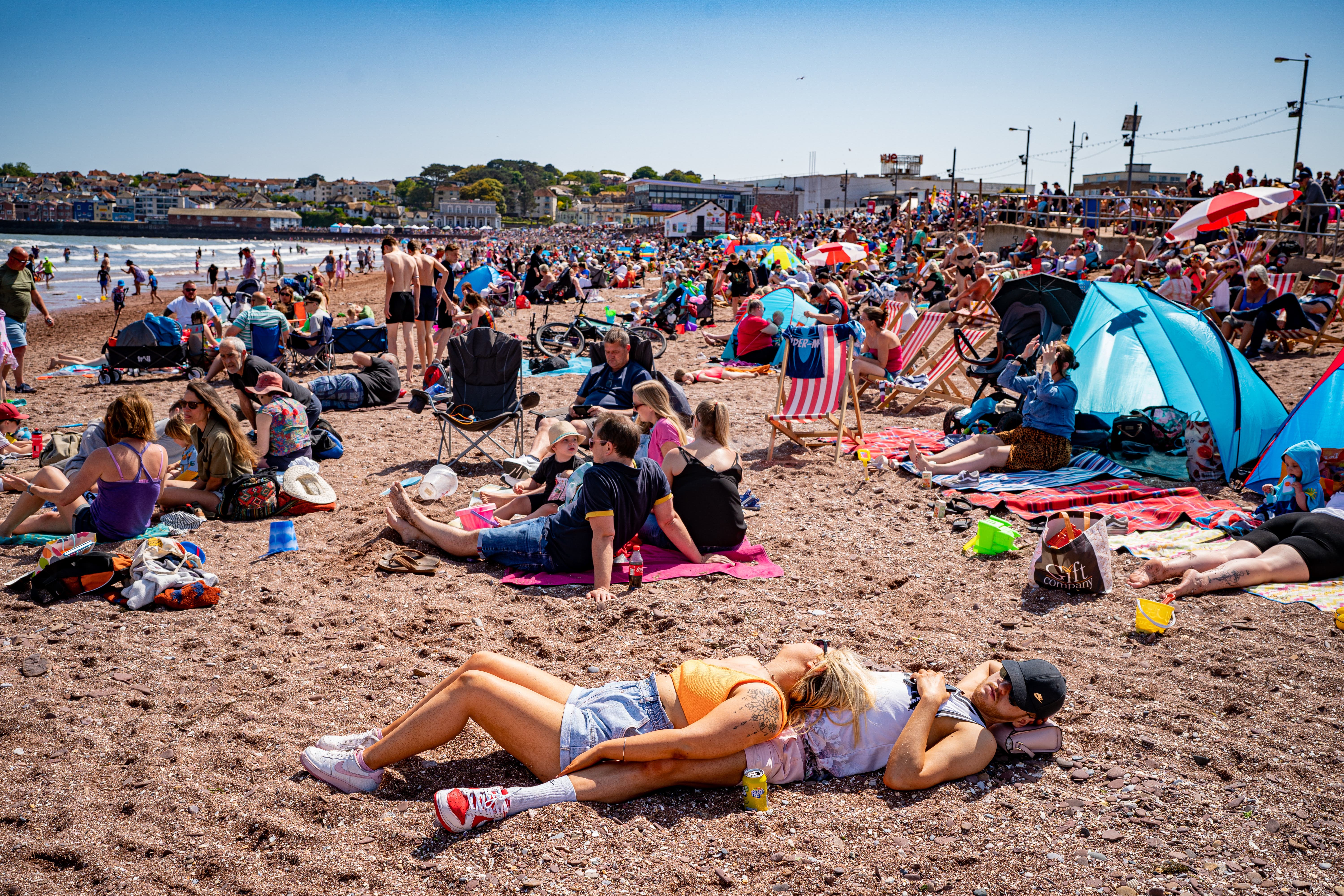
Swathes of the UK are predicted to be hotter than Marbella, Ibiza and Tenerife over the weekend as a “plume of warm air” moves in from the south.
The scorching forecast prompted the Met Office and UK Health Security Agency to issue their first heat warnings of the year.
Dr Agostinho Sousa from the UKHSA said: “In the coming days we are likely to experience our first sustained period of hot weather of the year so far, so it’s important that everyone ensures they keep hydrated and cool while enjoying the sun.
“Forecasted temperatures this week will primarily impact those over the age of 65 or those with pre-existing health conditions such as respiratory and cardiovascular diseases.
“If you have friends, family or neighbours who you know are more vulnerable to the effects of hot weather, it is important you check in on them and ensure they are aware of the forecasts and are following the necessary advice.”

Warm air from the south is expected to send the heat rising, but bringing with it thundery showers and the chance of hail and gusty winds, according to the Met Office.
Chief meteorologist Frank Saunders said temperatures could reach 31C in parts of central and South East England on Saturday - along with the chance of torrential rain.
"As the heat builds from the south, thundery showers will develop through Saturday afternoon," he said. "While not everyone in the warning area will see the heaviest showers, or even any rain at all, some will bring heavy thundery downpours.
"With intense showers there is a risk of surface water flooding which could cause some disruption."


Join our commenting forum
Join thought-provoking conversations, follow other Independent readers and see their replies
Comments