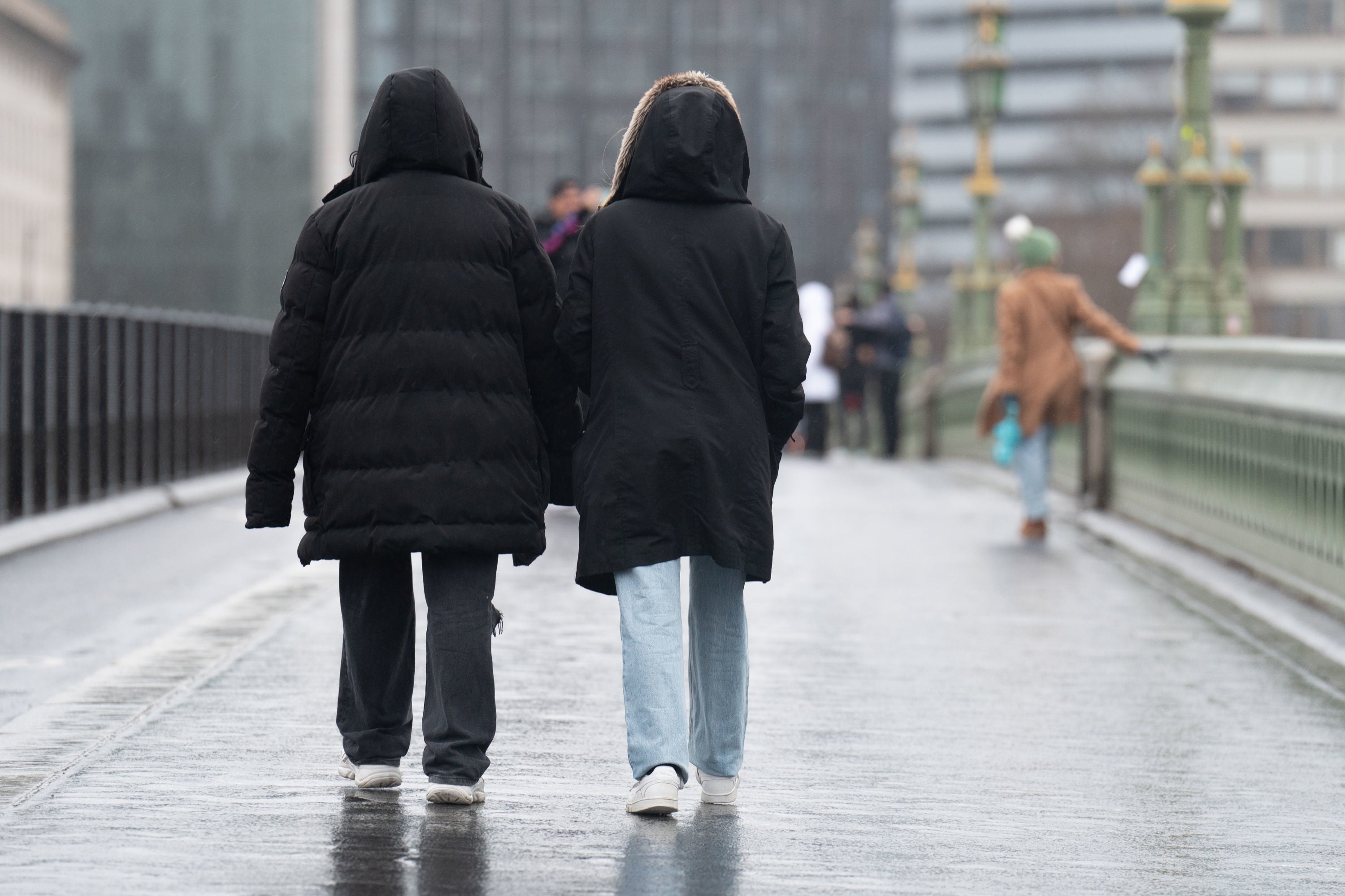
Snow not forecast yet but UK braced for sudden stratospheric warming
Feared ‘Beast from the East’ return unlikely in week ahead, says Met Office

Your support helps us to tell the story
From reproductive rights to climate change to Big Tech, The Independent is on the ground when the story is developing. Whether it's investigating the financials of Elon Musk's pro-Trump PAC or producing our latest documentary, 'The A Word', which shines a light on the American women fighting for reproductive rights, we know how important it is to parse out the facts from the messaging.
At such a critical moment in US history, we need reporters on the ground. Your donation allows us to keep sending journalists to speak to both sides of the story.
The Independent is trusted by Americans across the entire political spectrum. And unlike many other quality news outlets, we choose not to lock Americans out of our reporting and analysis with paywalls. We believe quality journalism should be available to everyone, paid for by those who can afford it.
Your support makes all the difference.A predicted big freeze caused by a sudden stratospheric warming (SSW) event is still several days away for much of the UK, forecasts have suggested.
Reports are rife about a SSW event hitting the UK before spring begins, sparking fears of a re-run of the Beast from the East storm in 2018.
Meteorologists have said it is “now likely” an SSW will occur to preempt the return of bitterly cold conditions.
While this might be on the horizon, possibly in late February into March, much of the UK is set for a week that will see mild winter conditions.
In London, temperatures will likely peak between 10-13C from Saturday to Tuesday, although the thermometer could drop below freezing on Monday night. It is a similar situation in the south west, although the mercury has been predicted to bottom out in Plymouth at around 5C into the mid week with similar highs to London expected. Edinburgh has been predicted to maintain a steady 11C high average into the middle of next week, with lows of around 1C most nights.
For its London outlook, the Met Office said: “[Saturday] will generally be dry but often cloudy throughout the day. Brighter at times especially in the far east of the region with limited sunny spells.
“[It will be] dry through Sunday and Monday, with some bright or sunny spells and mainly light winds, but maybe a little breezier later Monday. There will be longer sunny spells on Tuesday and it will be mild throughout.”
What is sudden stratospheric warming?
The Met Office has said SSW occurs when “rapid warming occurs high up in the stratosphere”, so high in fact that it is not felt on the surface below.
But the change can set off a series of unusual events that could begin with a weakening of winds over the Arctic.
As for what happens next, the Met Office said: “The cold air then descends very rapidly in the polar vortex and this causes the temperature in the stratosphere to rise very rapidly, as much as 50C over only a few days; hence the term sudden stratospheric warming.”
Chris England, Sky News weather producer, said: “Sudden stratospheric warmings can lead to colder conditions over parts of the Northern Hemisphere through their interaction with the jet stream.”
The Met Office has said there is an 80 per cent chance of the rare event happening this year, although it does not necessarily mean that it will be as forceful as the 2018 event.
There is little chance of snowfall, the agency has said.
Adam Scaife, of the Met Office, added: “Although the impact will become clearer nearer the time, any effect on UK weather is most likely to occur in late February and March.”
Join our commenting forum
Join thought-provoking conversations, follow other Independent readers and see their replies
Comments