UK weather forecast: Britain could bask in heatwave with hottest day of year so far, Met Office says
‘A bit of summer is on the cards,’ Met Office forecaster says

Your support helps us to tell the story
From reproductive rights to climate change to Big Tech, The Independent is on the ground when the story is developing. Whether it's investigating the financials of Elon Musk's pro-Trump PAC or producing our latest documentary, 'The A Word', which shines a light on the American women fighting for reproductive rights, we know how important it is to parse out the facts from the messaging.
At such a critical moment in US history, we need reporters on the ground. Your donation allows us to keep sending journalists to speak to both sides of the story.
The Independent is trusted by Americans across the entire political spectrum. And unlike many other quality news outlets, we choose not to lock Americans out of our reporting and analysis with paywalls. We believe quality journalism should be available to everyone, paid for by those who can afford it.
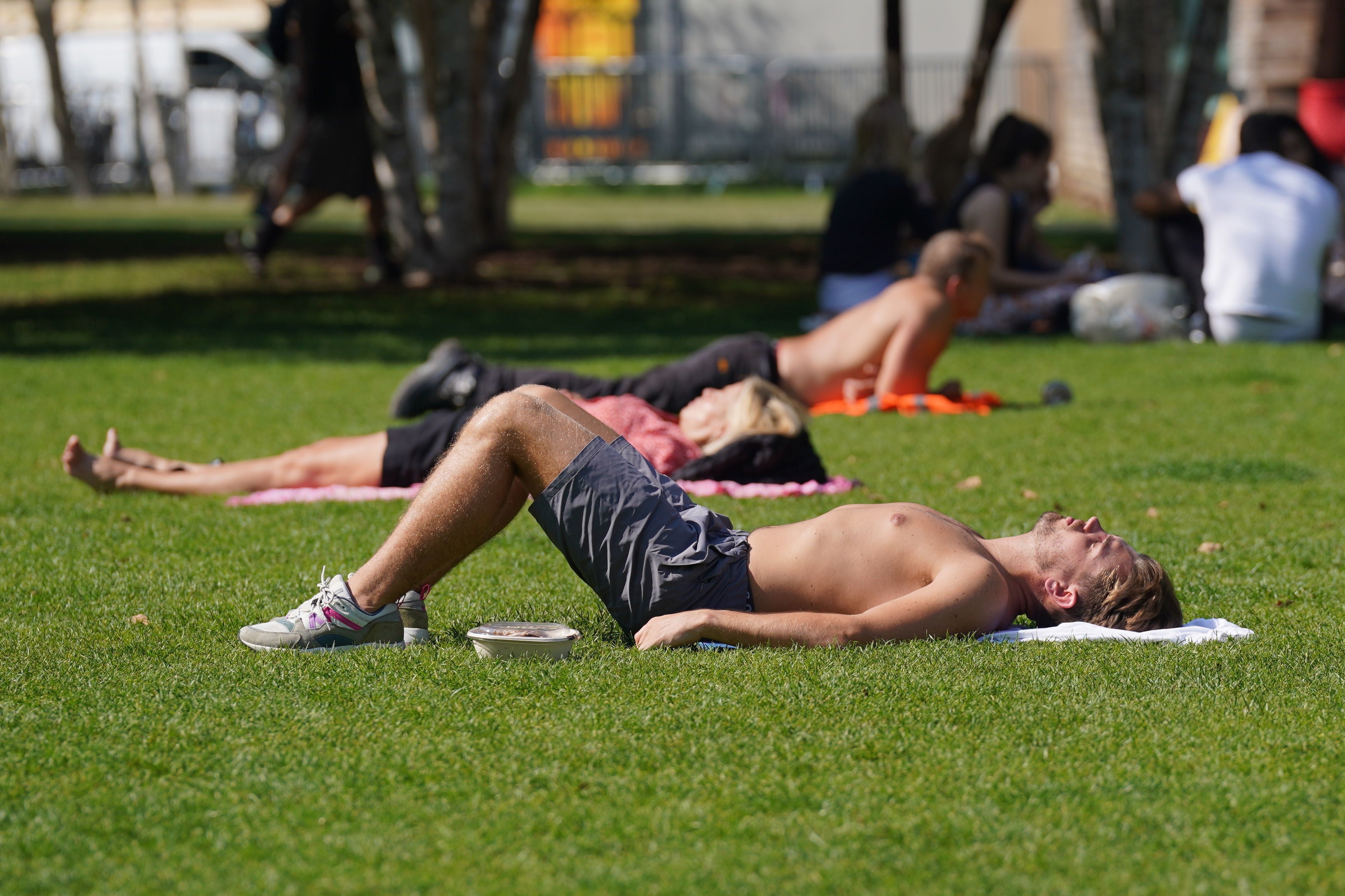
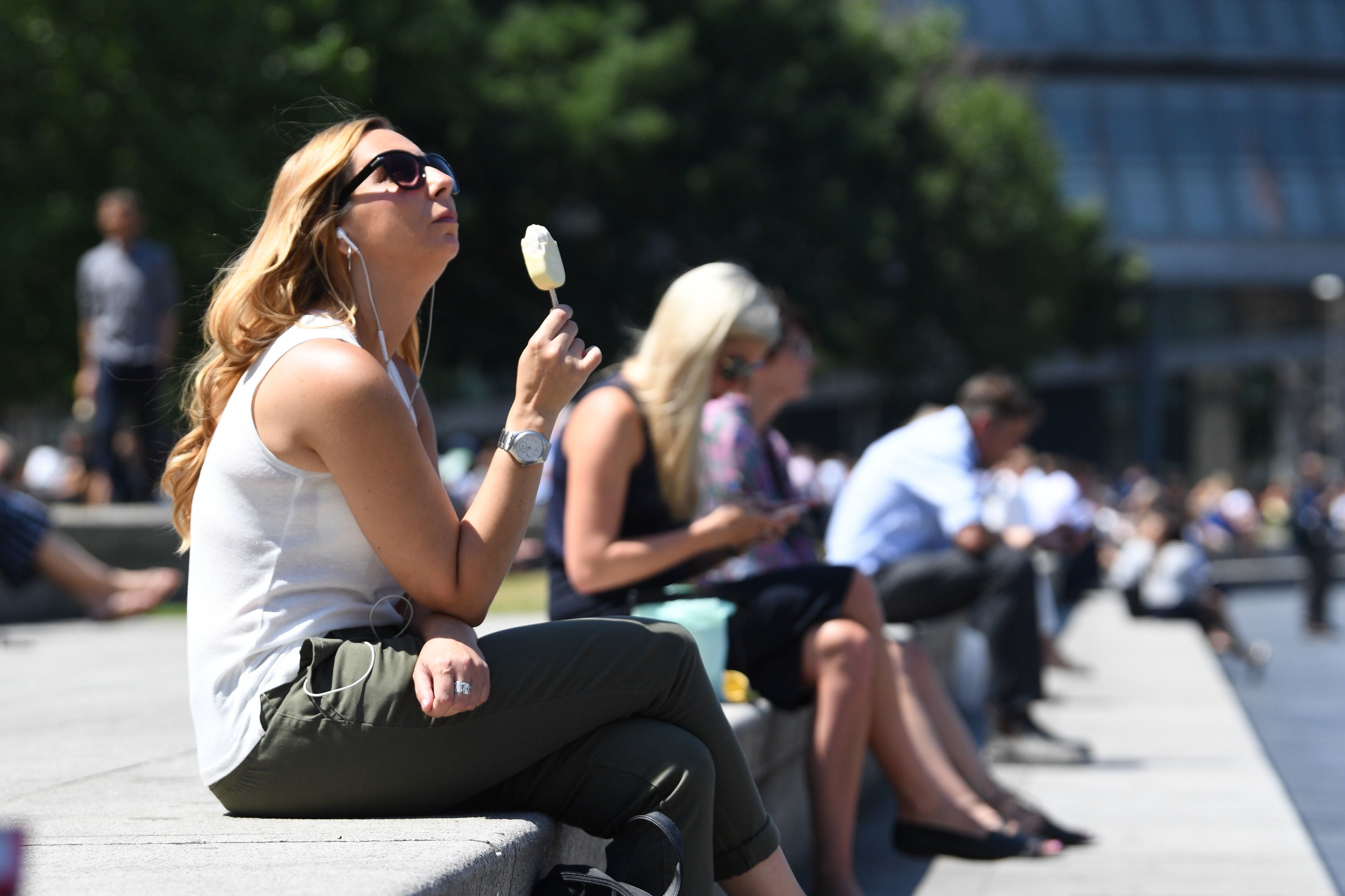
Your support makes all the difference.The UK could be on course for a heatwave this week as the Met Office forecasts Tuesday will be the hottest day of the year so far.
After a summer of frequently wet and cooler weather, temperatures are now expected to hit 32C in London on Tuesday, with much of the UK set to enjoy “very warm, locally hot weather” over the next few days.
Met Office forecaster Simon Partridge said there is “certainly potential that it could become an actual official heatwave”, and added the weather will be warm enough to feel like one regardless of whether conditions meet the technical threshold.
In the UK, the heatwave threshold is met when a location records at least three consecutive days with maximum temperatures exceeding a designated value, according to the Met Office. This is 25C for most of the UK but rises to 28C in London and its surrounding area, where temperatures are typically higher.

“There is certainly potential that it could become an actual official heatwave, because in the spells you’ve had before it hasn’t actually met all the criteria,” said Mr Partridge.
“If there’s not, it’s very close to it, and if you’re out and about and a member of the public then it’s going to feel like a heatwave anyway, because also overnight things are going to turn a little bit more humid and muggy day-on-day as well.”
Temperatures were expected to reach 27C in some local areas on Sunday, before highs of 29C on Monday and 32C on Tuesday are forecast in south-east England.
The hottest day of the year so far saw a temperature of 31.9C recorded at St James’s Park in central London on 19 July.
Many parts of the country will see temperatures four to five degrees warmer than average for this time in July, the forecaster said. Only the far north-western areas of Scotland and parts of Northern Ireland will see some cloud and possibly rain on Monday and Tuesday.
However, this summery spell could end abruptly on Wednesday with some heavy thundery rain expected - although uncertainty remains whether this will be just across the south of England or other parts of the UK.
Despite the sudden showers, temperatures are expected to stay high heading into the first week of August.
Mr Partridge said: “Usually you get these thunderstorms come through and then everything’s a lot cooler and fresher, but although it will be a bit fresher at the end of the week, it will still be about where we should be, if not a degree or so warmer. So a bit of summer is on the cards.”
Join our commenting forum
Join thought-provoking conversations, follow other Independent readers and see their replies
Comments