Met Office issues fresh heavy rain warning as many UK regions face flood alerts
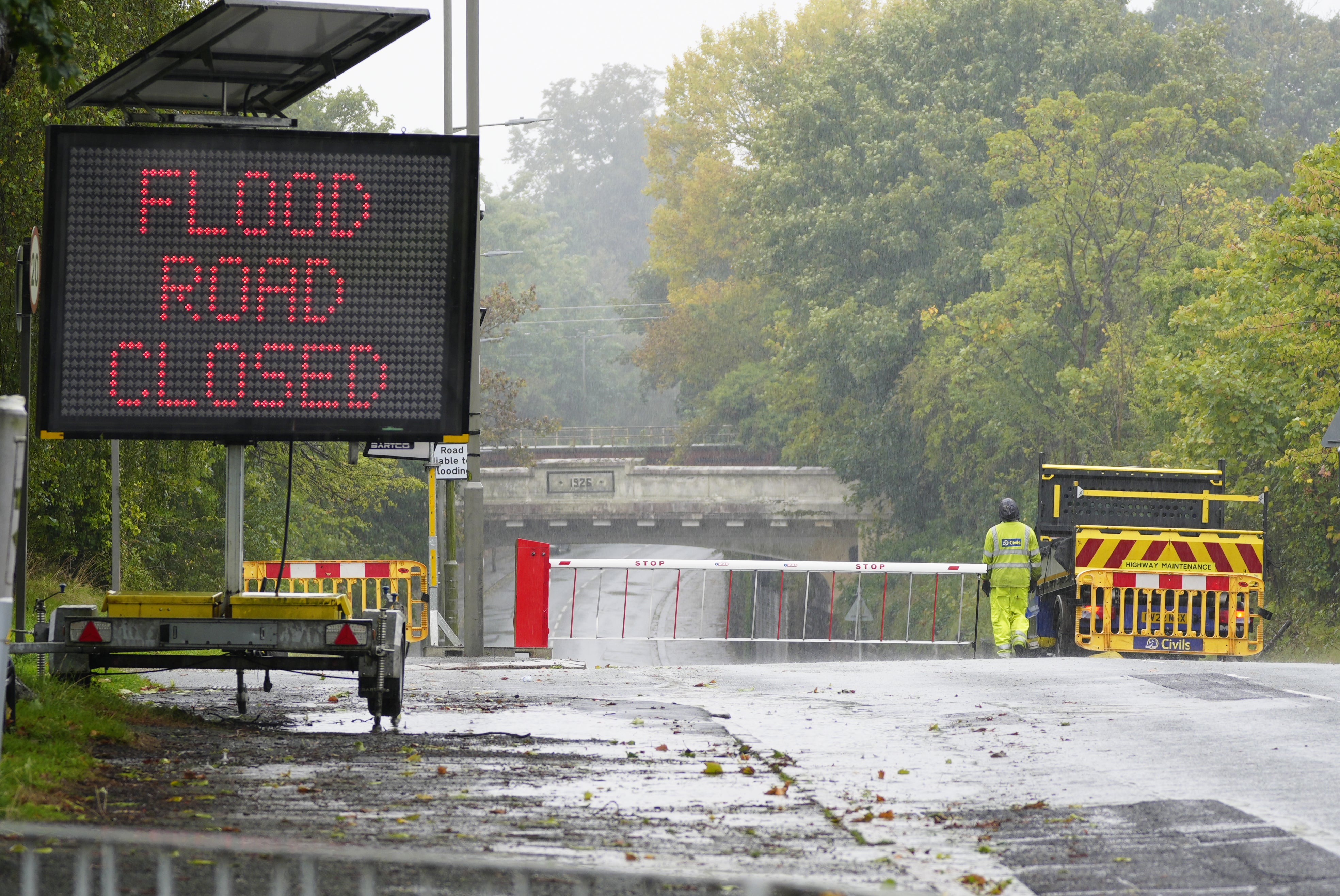
The Met Office has issued a yellow weather warning for eastern England
Your support helps us to tell the story
From reproductive rights to climate change to Big Tech, The Independent is on the ground when the story is developing. Whether it's investigating the financials of Elon Musk's pro-Trump PAC or producing our latest documentary, 'The A Word', which shines a light on the American women fighting for reproductive rights, we know how important it is to parse out the facts from the messaging.
At such a critical moment in US history, we need reporters on the ground. Your donation allows us to keep sending journalists to speak to both sides of the story.
The Independent is trusted by Americans across the entire political spectrum. And unlike many other quality news outlets, we choose not to lock Americans out of our reporting and analysis with paywalls. We believe quality journalism should be available to everyone, paid for by those who can afford it.
Your support makes all the difference.A weather warning for rain has been issued by the Met Office as some parts of the UK were hit by torrential rain on Monday night.
The yellow weather alert for eastern England lasts until Tuesday at 3am and warns of heavy rain that could cause flooding and disruption.
Also on Monday night, North Wales and north-west England were under a yellow weather warning for rain until 8pm.
It comes as the Environment Agency has 47 flood warnings in place, which mean flooding is likely, with most in the Midlands, central east England and south west England.
Residents in the 40 affected areas - listed below - are advised to move to higher ground, turn off the gas, electricity and water if safe to do so, and put flood protection equipment in place.
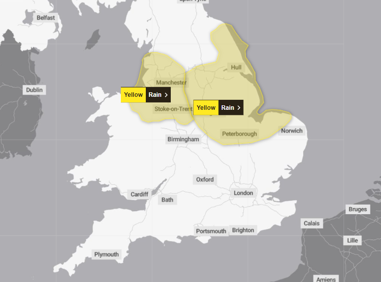
A spokesperson for the Met Office said: “An area of rain, heavy in places, will affect parts of the north-east Midlands and east and northeast England during Monday, before clearing overnight.
“There is significant uncertainty in the amount of rainfall and location of the largest totals, but 20-40 mm of rain could fall quite widely with a chance that a few places could see 60-80 mm. Strong northeasterly winds will accompany the rain.”
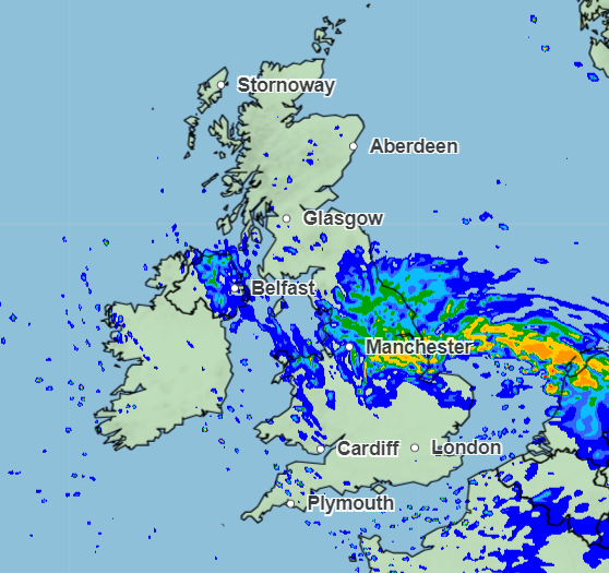
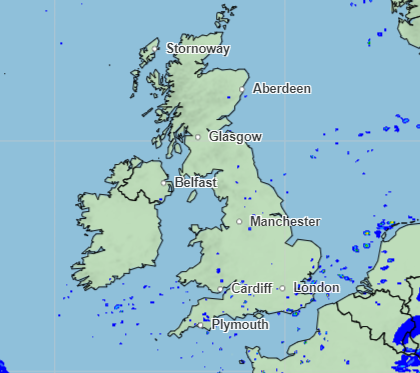
Weather charts show a wet picture for Monday night as a large patch of rain covers the eastern coast of the UK.
Similar areas will be affected on Tuesday but with rainfall expected to be far less intense before the rain clears up for most areas on Wednesday.
The Met Office said Wednesday will see “some showery rain in the southeast” but with “largely dry with brightest skies in the north”.
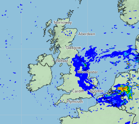
The forecaster said it will be “dry and bright on Thursday and Friday, but rain returns in the west later”.
Met Office meteorologist Aidan McGivern said: “Drier weather is on the way eventually this week, but for the immediate future we’ve still got an awful lot of rain to talk about.
After a wet first half of the week, some “higher pressure” will build in from the north.
“That’s going to settle things down widely. Still a lot of cloud, but some decent sunshine for the north west of the country before the next low turns up, however that doesn’t happen till the weekend,” Mr McGivern added.
Join our commenting forum
Join thought-provoking conversations, follow other Independent readers and see their replies
Comments