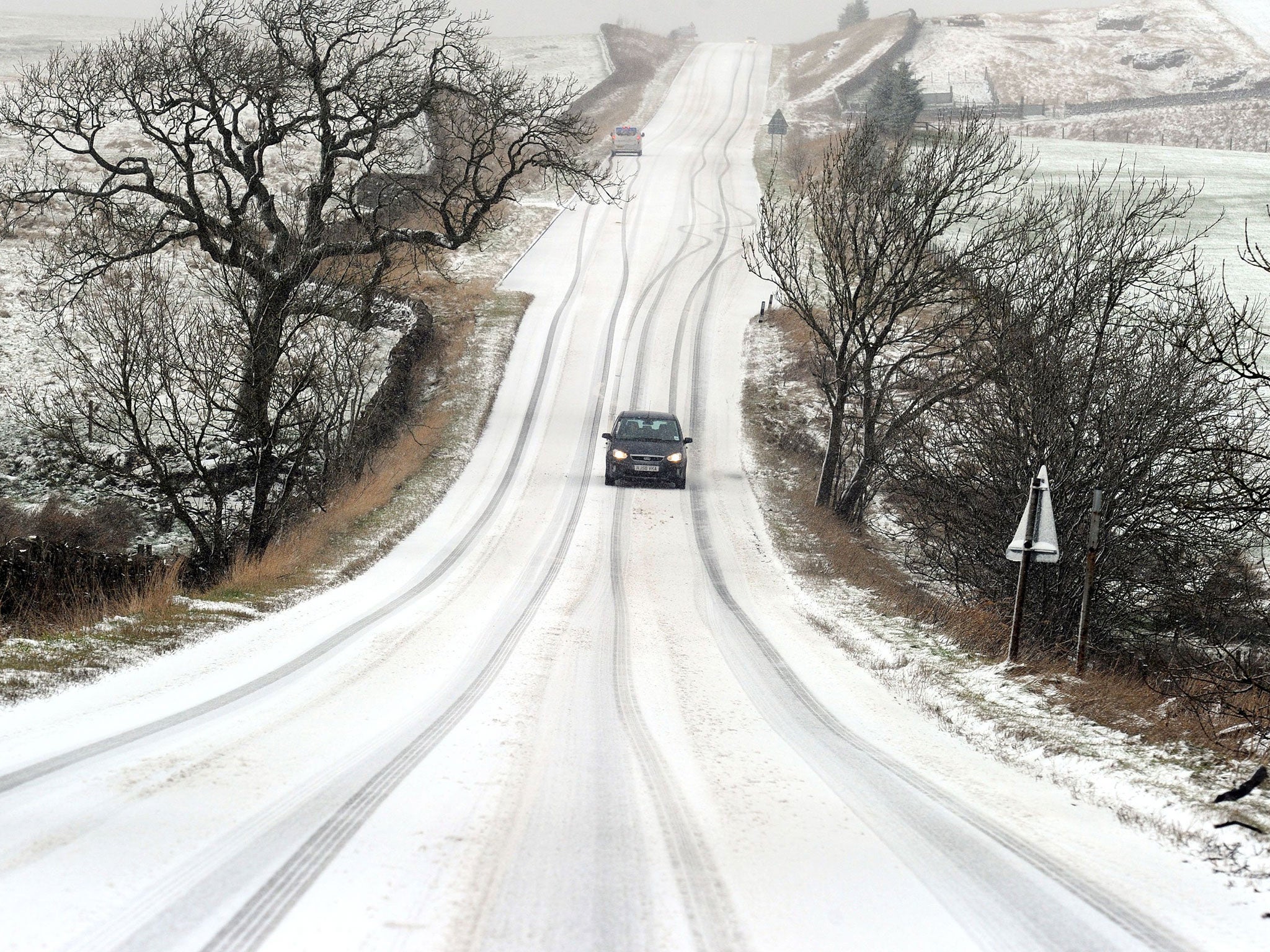
UK weather: Up to 15cm of snow and icy conditions forecast for parts of England and Wales
Met Office issues yellow 'be aware' warnings after coldest night of the year

Your support helps us to tell the story
From reproductive rights to climate change to Big Tech, The Independent is on the ground when the story is developing. Whether it's investigating the financials of Elon Musk's pro-Trump PAC or producing our latest documentary, 'The A Word', which shines a light on the American women fighting for reproductive rights, we know how important it is to parse out the facts from the messaging.
At such a critical moment in US history, we need reporters on the ground. Your donation allows us to keep sending journalists to speak to both sides of the story.
The Independent is trusted by Americans across the entire political spectrum. And unlike many other quality news outlets, we choose not to lock Americans out of our reporting and analysis with paywalls. We believe quality journalism should be available to everyone, paid for by those who can afford it.
Your support makes all the difference.Weather warnings are now in place across parts of the UK as up to 15cm of snow are forecast to fall in England and Wales.
The Met Office has issued yellow “be aware” warnings for snow and ice on Tuesday and Wednesday for parts of Wales, the Midlands and areas of northern England.
The warnings come after Britain experienced the coldest night of the year, as temperatures in the Scottish highlands dropped to -11C.
The Met Office said rain arriving in western areas will turn to snow as it comes inland later on Tuesday, spreading into Wales along with central and northern England overnight.
Levels of snow are expected to reach between three and eight centimetres across lower levels and between 10 and 15cm on areas of high ground. Areas that could see the highest accumulation of snow include the Peak District, north-west England and high ground in Wales.
The public is being advised that a build-up of snow could disrupt transport networks in affected areas, particularly during rush-hour.
A spokesperson for the Met Office told The Independent: “Overnight tonight, showery weather will start hitting cold air in Wales and the Midlands where it is very, very cold. Parts of the Midlands, north-west England across Wales are likely to see snow.”
“Thursday will be dry but dull and slightly warmer. It won’t be anywhere near as cold as it was last night. Where there is cloud cover, we are likely to see temperatures of freezing or just over.”
Meanwhile, Friday could see a complete turn-around in weather as temperatures could jump up from between 5C and 8C to as high as 11C in some parts of the UK.
Join our commenting forum
Join thought-provoking conversations, follow other Independent readers and see their replies
Comments