UK weather: Snow and ice as temperatures plunge below freezing in week-long cold snap
Hundreds of flood alerts also still in place in England after days of heavy rain in wake of Storm Henk
Your support helps us to tell the story
From reproductive rights to climate change to Big Tech, The Independent is on the ground when the story is developing. Whether it's investigating the financials of Elon Musk's pro-Trump PAC or producing our latest documentary, 'The A Word', which shines a light on the American women fighting for reproductive rights, we know how important it is to parse out the facts from the messaging.
At such a critical moment in US history, we need reporters on the ground. Your donation allows us to keep sending journalists to speak to both sides of the story.
The Independent is trusted by Americans across the entire political spectrum. And unlike many other quality news outlets, we choose not to lock Americans out of our reporting and analysis with paywalls. We believe quality journalism should be available to everyone, paid for by those who can afford it.
Your support makes all the difference.The UK faces a week-long cold snap as days of flooding are followed by plunging temperatures.
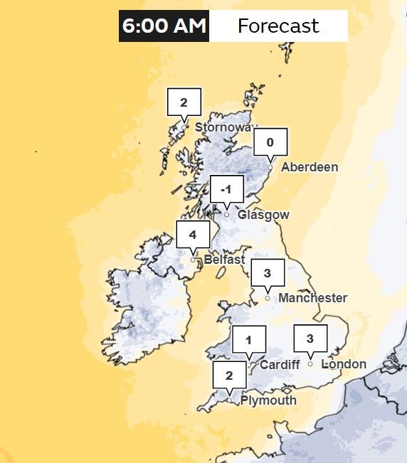
Britons can expect an overnight freeze on Sunday, forecasters have said. with temperatures dropping as low as -4C in parts of the country. Sleet and snow showers are due on Monday, with temperatures during the day struggling to get above 4C.
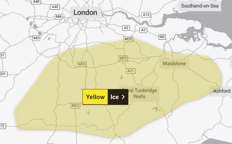
The Met Office has issued a weather warning for ice across southeast England. The alert is in place from 4am until 10am, meaning drivers could face treacherous conditions on the Monday morning commute.

An amber cold health alert has also been issued by the UK Health Security Agency (UKHSA) for the northwest of England, West Midlands, East Midlands and southwest of England all week.
In place until noon on Friday, 12 January, the second most serious health warning means the impact of cold weather is likely to be felt across the whole health service. There is also a yellow alert in place for the northeast of England, Yorkshire and The Humber, east of England, southeast of England and London.
Dr Agostinho Sousa, head of extreme events and health protection at UKHSA, said: “With the Met Office forecasting drops in temperature across the United Kingdom into next week, it is important to check in on the wellbeing of those most vulnerable to the cold.”
The cold weather can increase the risks of heart attacks, strokes and chest infections and can have a serious health impact for older people and those with pre-existing health conditions.

The Met Office yellow weather warning states: “A mix of sleet and snow showers will move in from the east later on Sunday night along with temperatures near zero.
“Given these wintry showers, and also wet surfaces after recent wet weather, some icy patches are likely on untreated surfaces.
“Additionally a few of the snow showers could turn quite heavy; these probably only affecting a narrow zone but a few places could see 1-3cm, mainly over the north Downs and on grassy surfaces.”
Met Office forecaster Marco Petagna said there would be a widespread frost on Monday morning, with temperatures dipping down to -3C or -4C in rural areas, though there will be sunshine despite the cold.
“After a foggy, frosty start it will be staying cold with temperatures no better than four or five degrees in the afternoon,” he said. “Add on the effects of quite a brisk eastern or northeasterly breeze, especially across the south and east of the UK and it will feel more like a -1C or -2C.”
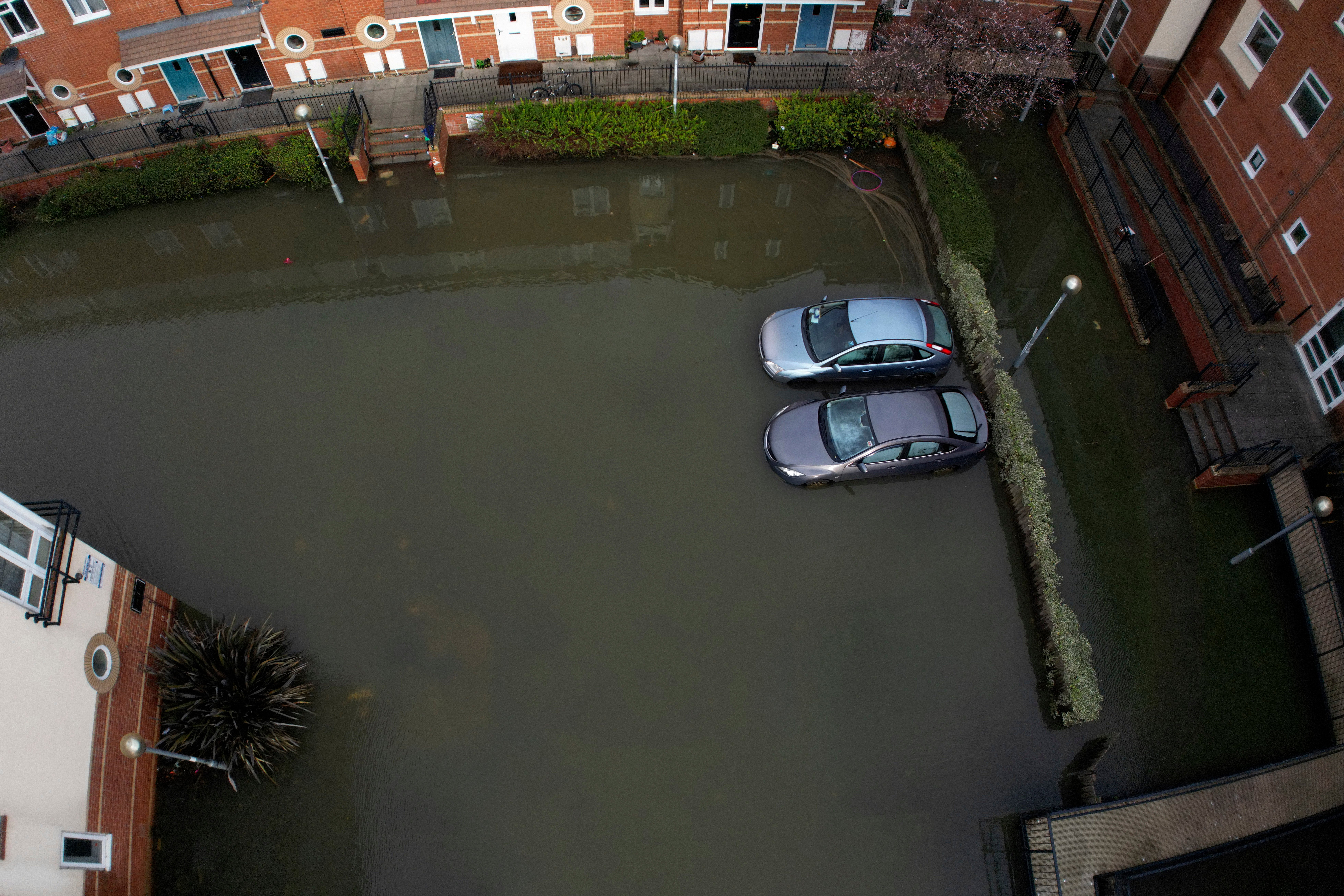
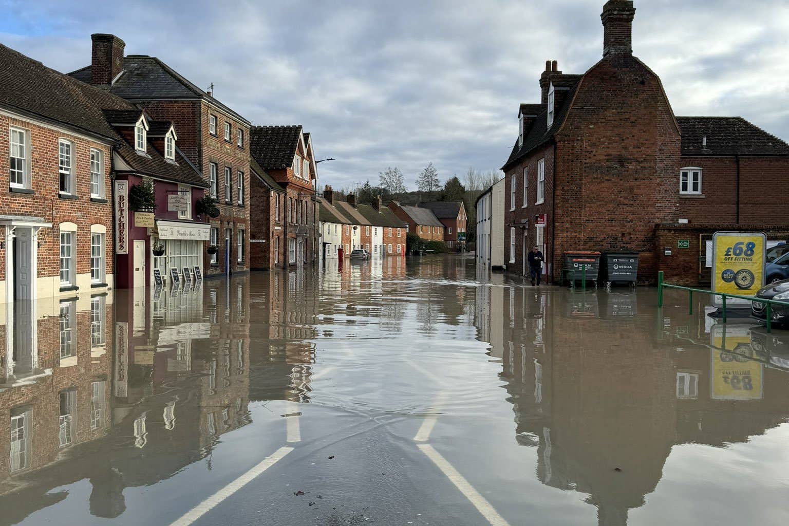
The cold snap comes after days of flooding following heavy rain this week. As of Sunday evening, there were 171 flood warnings and 161 flood alerts still in place in the wake of Storm Henk.

The Environment Agency has previously warned that more properties may be flooded in the coming days amid increased river levels and more rain.
More than 1,800 properties have already flooded after prolonged wet weather and intense rainfall, the agency said, with the impact of high water levels likely to continue, particularly around the rivers Trent, Severn and Thames.
The prime minister met residents hit by flooding in Oxford on Sunday. Rishi Sunak spoke to people on their doorsteps before visiting Environment Agency workers at their depot on Osney Island, telling them: “Touch wood, we’re past the worst of it.”

Addressing the media in front of the fast-moving River Thames, Mr Sunak said: “Flooding has been having a devastating impact on communities up and down the country.
“I was in the East Midlands last week and I’m in Oxfordshire here today talking to some of those that have been affected, but also saying thank you to our first responders who were doing a fantastic job over the past week.
“We have over 1,000 Environment Agency personnel on the ground in local communities helping, over 200 pumps have been deployed.
“We’ve invested £5.2bn in flood defences over the period in question, that’s a record sum, far more than we’ve done [previously], in the future that’s contributed to protecting over 300,000 homes.
“And, of course, there have been many people affected by what’s happened over the past week, but also over 49,000 have been protected from flooding.”
Labour has accused the government of being “asleep at the wheel” over flood warnings with leader Sir Keir Starmer vowing to make flood defences “fit for purpose”, writing on social media that “people’s lives shouldn’t be upended by extreme rain”.

MET OFFICE OUTLOOK
Sunday evening:
Some wintry showers near coastal areas and across the southeast but otherwise a dry night with variable amounts of cloud. Fog patches returning, most likely across Northern Ireland, Scotland and northwest England. Widespread frost and icy stretches.
Monday:
Fine for many with sunny spells, best of these in the west after fog clears. Scattered sleet and snow showers across southern areas. Wind chill for England and Wales.
Outlook for Tuesday to Thursday:
High pressure dominating, with overnight frost and fog. Generally dry and bright, though turning cloudier in the north from Wednesday. Remaining cold with a brisk wind in the south.

Join our commenting forum
Join thought-provoking conversations, follow other Independent readers and see their replies
Comments