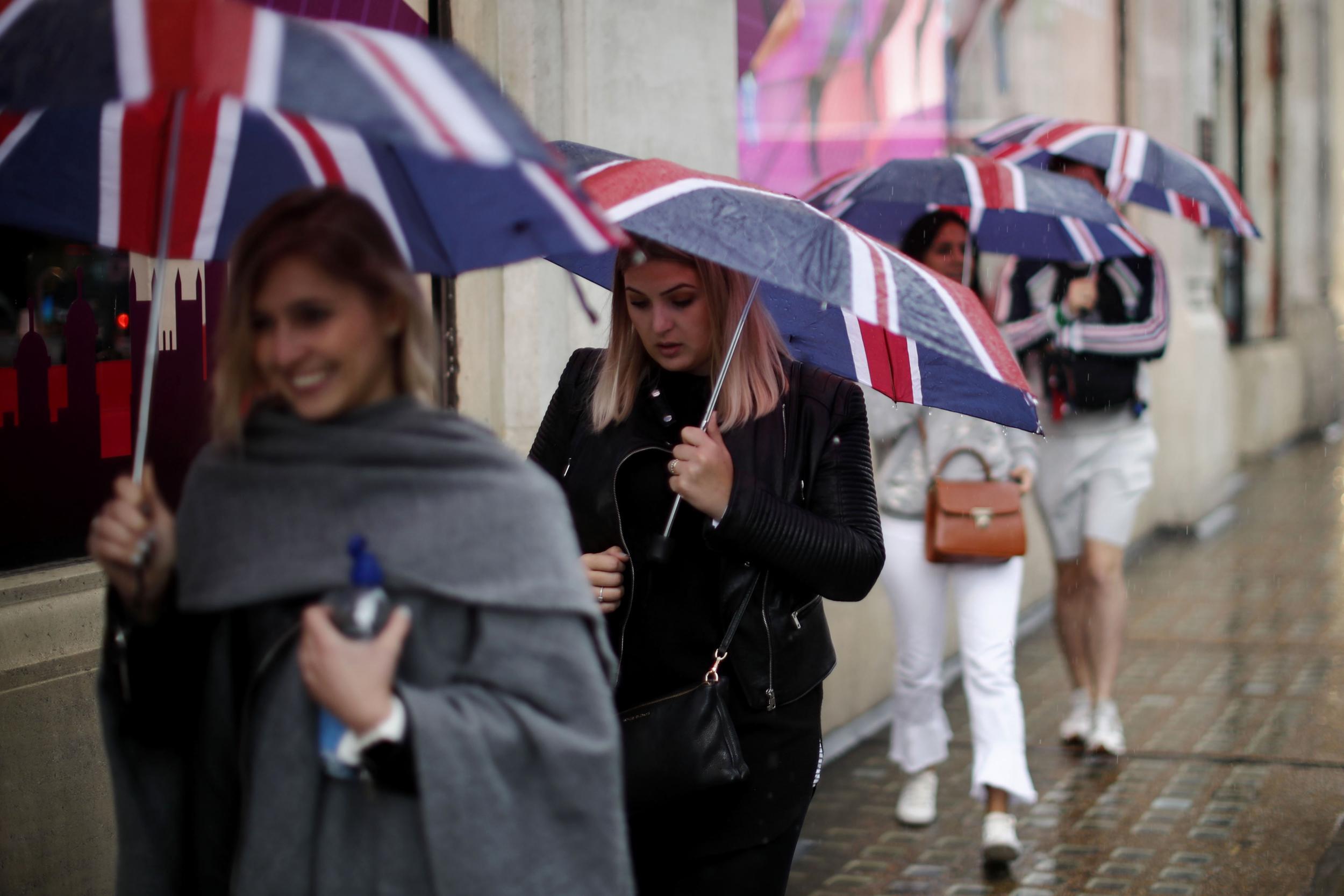
UK weather latest: Areas across Britain face flooding and power cuts
Northern England, Northern Ireland, southwest Scotland and north Wales are among the regions affected

Your support helps us to tell the story
From reproductive rights to climate change to Big Tech, The Independent is on the ground when the story is developing. Whether it's investigating the financials of Elon Musk's pro-Trump PAC or producing our latest documentary, 'The A Word', which shines a light on the American women fighting for reproductive rights, we know how important it is to parse out the facts from the messaging.
At such a critical moment in US history, we need reporters on the ground. Your donation allows us to keep sending journalists to speak to both sides of the story.
The Independent is trusted by Americans across the entire political spectrum. And unlike many other quality news outlets, we choose not to lock Americans out of our reporting and analysis with paywalls. We believe quality journalism should be available to everyone, paid for by those who can afford it.
Your support makes all the difference.Parts of the UK will be hit by 75 mph winds this week with forecasters warning Storm Aileen could cause travel delays, flooding and power cuts.
Areas in northern England, Northern Ireland, southwest Scotland and north Wales are among the regions affected.
But forecasters said the bad weather was not linked to hurricanes currently battering the Caribbean and North America.
Aileen is the first storm to be named this autumn.
The heavy rain it's bringing is likely to lead to flooding on roads and possible damage to properties, the Met Office's chief weather forecaster said.
Very strong winds could reach 75 mph in the most exposed locations, beginning on Tuesday night. In most areas wind speeds will be slightly lower, at between 55 mph and 65 mph.
Travellers should expect rail, road and air journeys to take longer, the Met warned.
In a statement, the Met Office's deputy meteorologist, Chris Tubbs, said “There are no links between the very strong winds we expect to see here in the UK and the hurricanes affecting the United States and the Caribbean at present.
"This system originated well north in the Atlantic Ocean, independent of the current Caribbean hurricanes."
On its website, the Met Office also responded to reports the UK could be hit by three hurricanes in the coming months.
"The UK does not get hurricanes – these are tropical features.
"They are larger rotating storm systems that develop over warm tropical water and are classified as hurricanes when sustained wind speed exceed 74 mph."
Join our commenting forum
Join thought-provoking conversations, follow other Independent readers and see their replies
Comments