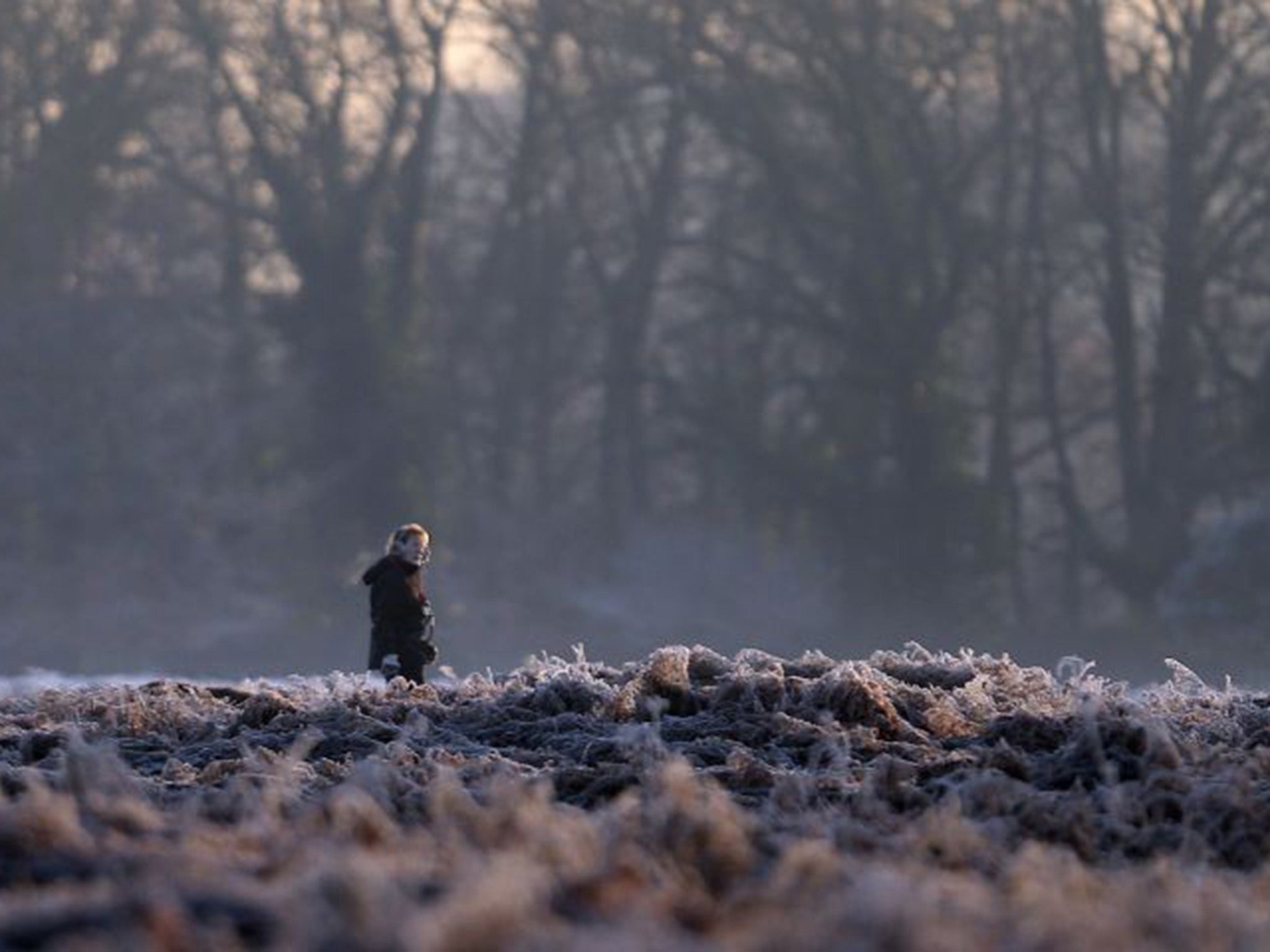
UK weather latest: Temperatures to plummet as cold front descends on Britain from the east
Wave of cold weather to sweep in from Scandinavia

Your support helps us to tell the story
From reproductive rights to climate change to Big Tech, The Independent is on the ground when the story is developing. Whether it's investigating the financials of Elon Musk's pro-Trump PAC or producing our latest documentary, 'The A Word', which shines a light on the American women fighting for reproductive rights, we know how important it is to parse out the facts from the messaging.
At such a critical moment in US history, we need reporters on the ground. Your donation allows us to keep sending journalists to speak to both sides of the story.
The Independent is trusted by Americans across the entire political spectrum. And unlike many other quality news outlets, we choose not to lock Americans out of our reporting and analysis with paywalls. We believe quality journalism should be available to everyone, paid for by those who can afford it.
Your support makes all the difference.An unseasonably warm February across the UK so far is expected to come to a halt as much colder weather from Scandinavia brings snow to some parts of the country.
The Met Office has warned temperatures are set to plummet, with some flurries of snow along the east coast.
While Tuesday will see temperatures remain fairly steady and mild in most regions, it will become colder moving into Wednesday, dropping by around five degrees in just two days.
Oli Claydon, spokesman for the Met Office, told The Independent: “We’ve had a few days of a more mobile and low pressure set-up over the last few days, but high pressure influence from Scandinavia will bring temperatures back down during the course of the week.
“There is a chance of some snow flurries before the end of the week in some areas across the east coast, where temperatures are likely to drop to minus five degrees overnight in rural areas.
"The light precipitation is in a band all the way across the east coast of the UK, although the further north you go the higher the chances of snow are. At the moment we’re forecasting small flurries, but as we get closer this could change.”
Mr Claydon said Glasgow and other parts of Scotland were likely to see a drop of around three degrees, paving the way for a frosty weekend in the North, while London was likely to see an even bigger drop of five degrees in the space of just two days.
“Glasgow and much of Scotland is forecast to be seven degrees tomorrow (Tuesday) and down to four or five degrees on Thursday,” Mr Claydon added.
“London is likely to be 10C on Tuesday, but by the time we get to Wednesday temperatures will have dropped to six degrees and five degrees on Thursday. So you can see that change happening there.
“And this will continue into the weekend, dropping to around four degrees. Overnight will be even chillier, and by the end of the week we are expecting some widespread frost. There is already a yellow warning for ice for this evening in Scotland.”
Join our commenting forum
Join thought-provoking conversations, follow other Independent readers and see their replies
Comments