UK weather latest: sub-zero temperatures ahead after coldest night of the season
Most areas in England and Wales will experience freezing conditions tonight, says the Met Office

Your support helps us to tell the story
From reproductive rights to climate change to Big Tech, The Independent is on the ground when the story is developing. Whether it's investigating the financials of Elon Musk's pro-Trump PAC or producing our latest documentary, 'The A Word', which shines a light on the American women fighting for reproductive rights, we know how important it is to parse out the facts from the messaging.
At such a critical moment in US history, we need reporters on the ground. Your donation allows us to keep sending journalists to speak to both sides of the story.
The Independent is trusted by Americans across the entire political spectrum. And unlike many other quality news outlets, we choose not to lock Americans out of our reporting and analysis with paywalls. We believe quality journalism should be available to everyone, paid for by those who can afford it.
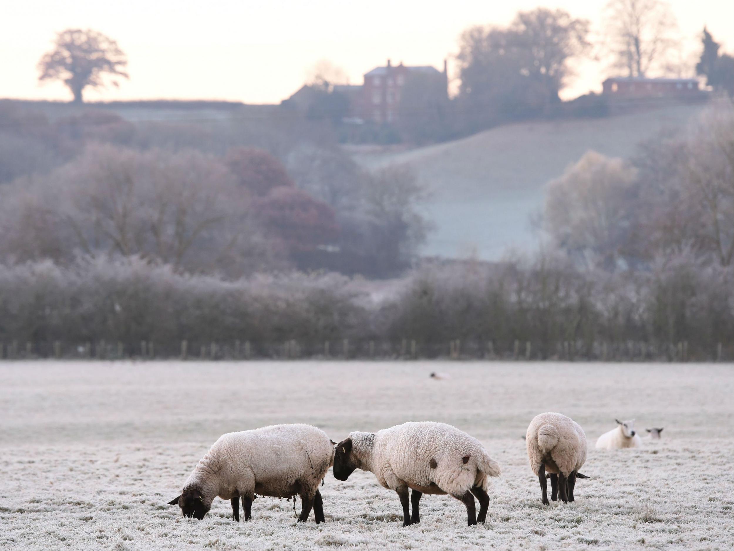
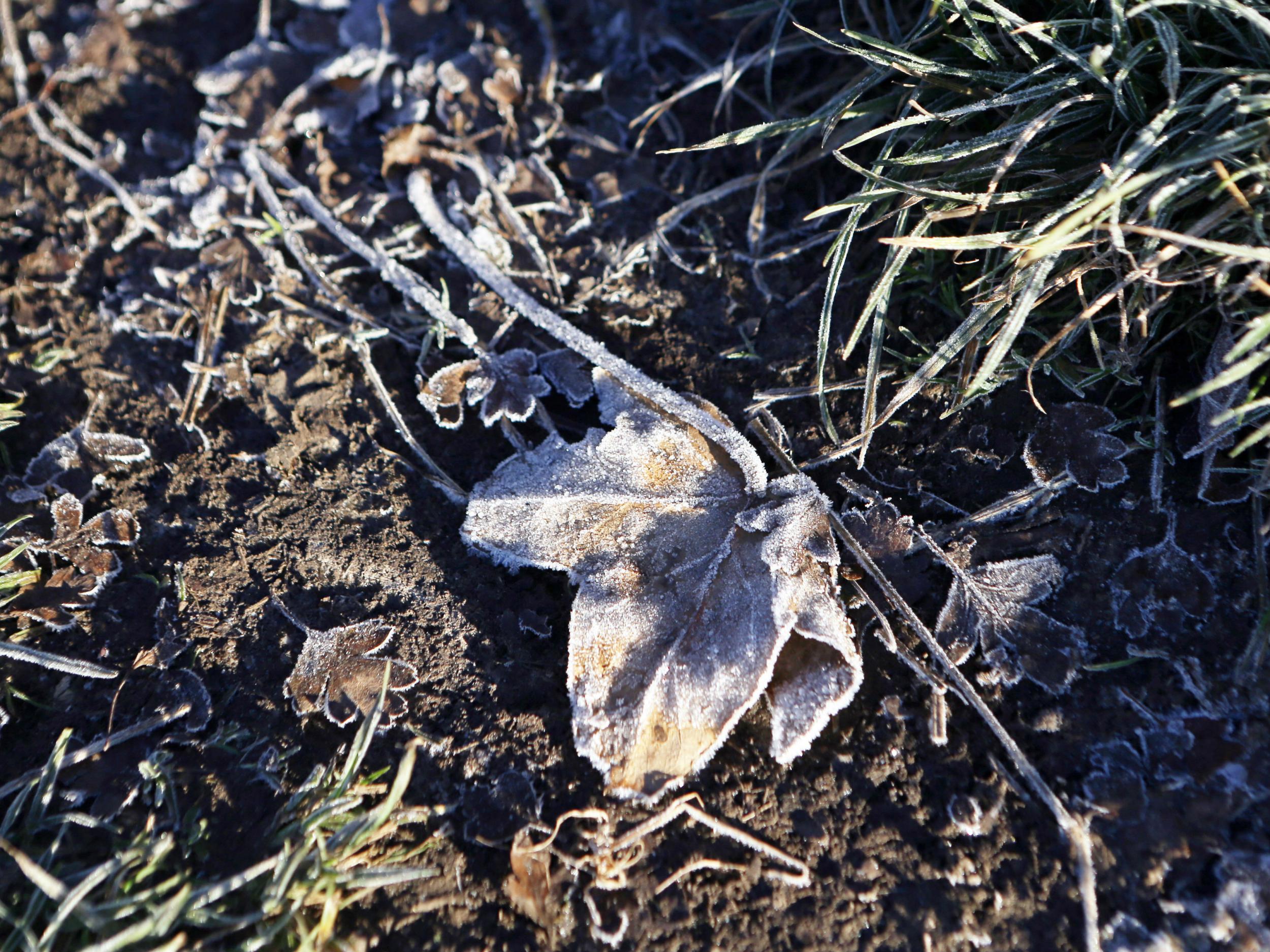
Your support makes all the difference.England and Wales saw this autumn's coldest night so far last night, with many people waking up to frosty fields and streets under clear skies.
Meteorologists recorded an icy minus 7.5C in the Cotswolds village of South Newington, near Chipping Norton in Oxfordshire – and they say it could be similarly chilly or even colder tonight.
Winter doesn’t officially start until 1 December, this Thursday, but atmospheric conditions meant there was an increased chance to a cold start this winter, Met Office forecaster Emma Sharples told The Independent.

“It will be similar [tonight], and could be colder, across southern and central parts of England and Wales,” she said.
“After we get through tonight and, for the far south, Wednesday night, we’ll see the night temperatures being a bit higher than they have been.”
Scotland has been warmer than England and Wales over the last few days, with cloud cover keeping temperatures above zero last night.
“By the time we get to Thursday night or Friday it will only be the extreme south with clear skies allowing heat to escape and temperatures to plummet,” said Ms Sharples.
“By the weekend, it will become a bit colder in the north”
While this isn’t the first time this year UK temperatures have dipped below freezing, previous instances have been isolated, making this the most widespread cold spell of the year so far.
Most areas will experience freezing conditions tonight and it could reach minus 2C in London, while the midlands shiver in lows of around minus six or seven degrees.
December is forecast to be colder than average, indicating the possibility of snow, but there is no indication yet of when this could be – or of whether parts of the UK could see a white Christmas.
The Met Office has attributed this in part to a “polar vortex” phenomenon descending from the Arctic, which has caused an “increased risk of cold snaps between now and Christmas”.
The polar vortex, a mass of very cold air which sits above the Earth’s north and south poles, is weaker than usual this year, increasing the likelihood it will cover a larger area and move south to Canada, the USA and Europe.
This can influence the strength and position of the jet stream and ups the chances of a cold winter.
Join our commenting forum
Join thought-provoking conversations, follow other Independent readers and see their replies
Comments