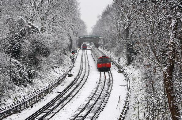
UK weather latest: Britain braces for three week ‘cold snap’ and snow as polar winds drop temperatures
Country set to shiver as Arctic winds bring temperature to an icy -7C
Your support helps us to tell the story
From reproductive rights to climate change to Big Tech, The Independent is on the ground when the story is developing. Whether it's investigating the financials of Elon Musk's pro-Trump PAC or producing our latest documentary, 'The A Word', which shines a light on the American women fighting for reproductive rights, we know how important it is to parse out the facts from the messaging.
At such a critical moment in US history, we need reporters on the ground. Your donation allows us to keep sending journalists to speak to both sides of the story.
The Independent is trusted by Americans across the entire political spectrum. And unlike many other quality news outlets, we choose not to lock Americans out of our reporting and analysis with paywalls. We believe quality journalism should be available to everyone, paid for by those who can afford it.
Your support makes all the difference.Britain has been warned that a three week freeze will arrive soon as polar winds and snow are forecast to hit parts of the country.
The MET office has also forecast that the mercury will drop to as low as -7C on Sunday night – 8 degrees lower than Iceland, which is said to currently be recording temperatures of 1C.
Colder weather and snow is set to last longer this year due to the La Nina weather phenomenon, which last hit the UK in 2010, when much of the country was covered with heavy snowfall.
The north of England is expected to be hit by snow from Tuesday.
A MET Office forecaster told The Sun: “The cold winds coming straight from the Arctic will carry with them a few showers and will be cold enough to fall as sleet or snow over some northern hills.

“From November 26 to December 10, temperatures look like being below normal generally, with an increased risk of snow at times, especially in the North, and an increased chance of frost through the period.
“Minimum temperatures could exceed the coldest temperatures of the season,” the spokesperson continued.
Met Office forecaster Emma Sharples added: “This would make it the coldest night of autumn so far and the cold weather will last until midweek before temperatures start to recover.
“We expect snow over high ground in the north on Sunday night and there could be wintry showers to lower levels.
“Long-range prediction systems indicate this cooling is very likely to continue in the coming weeks, leading to a full La Niña event over the next few months.”
In 2016, Britain experienced its coldest November in six years. The village of Sennybridge, Powys, recorded a temperature of -9.7C, the lowest for November since 2010 in England and Wales.

Join our commenting forum
Join thought-provoking conversations, follow other Independent readers and see their replies
Comments