UK weather: Exact date sunny weather forecast to end after hottest day of the year hit 23C high
Monday will see temperatures take a gentle dip before Tuesday’s showers
Your support helps us to tell the story
From reproductive rights to climate change to Big Tech, The Independent is on the ground when the story is developing. Whether it's investigating the financials of Elon Musk's pro-Trump PAC or producing our latest documentary, 'The A Word', which shines a light on the American women fighting for reproductive rights, we know how important it is to parse out the facts from the messaging.
At such a critical moment in US history, we need reporters on the ground. Your donation allows us to keep sending journalists to speak to both sides of the story.
The Independent is trusted by Americans across the entire political spectrum. And unlike many other quality news outlets, we choose not to lock Americans out of our reporting and analysis with paywalls. We believe quality journalism should be available to everyone, paid for by those who can afford it.
Your support makes all the difference.Forecasters have said to make the most of the Easter bank holiday ahead of temperatures dropping next week.
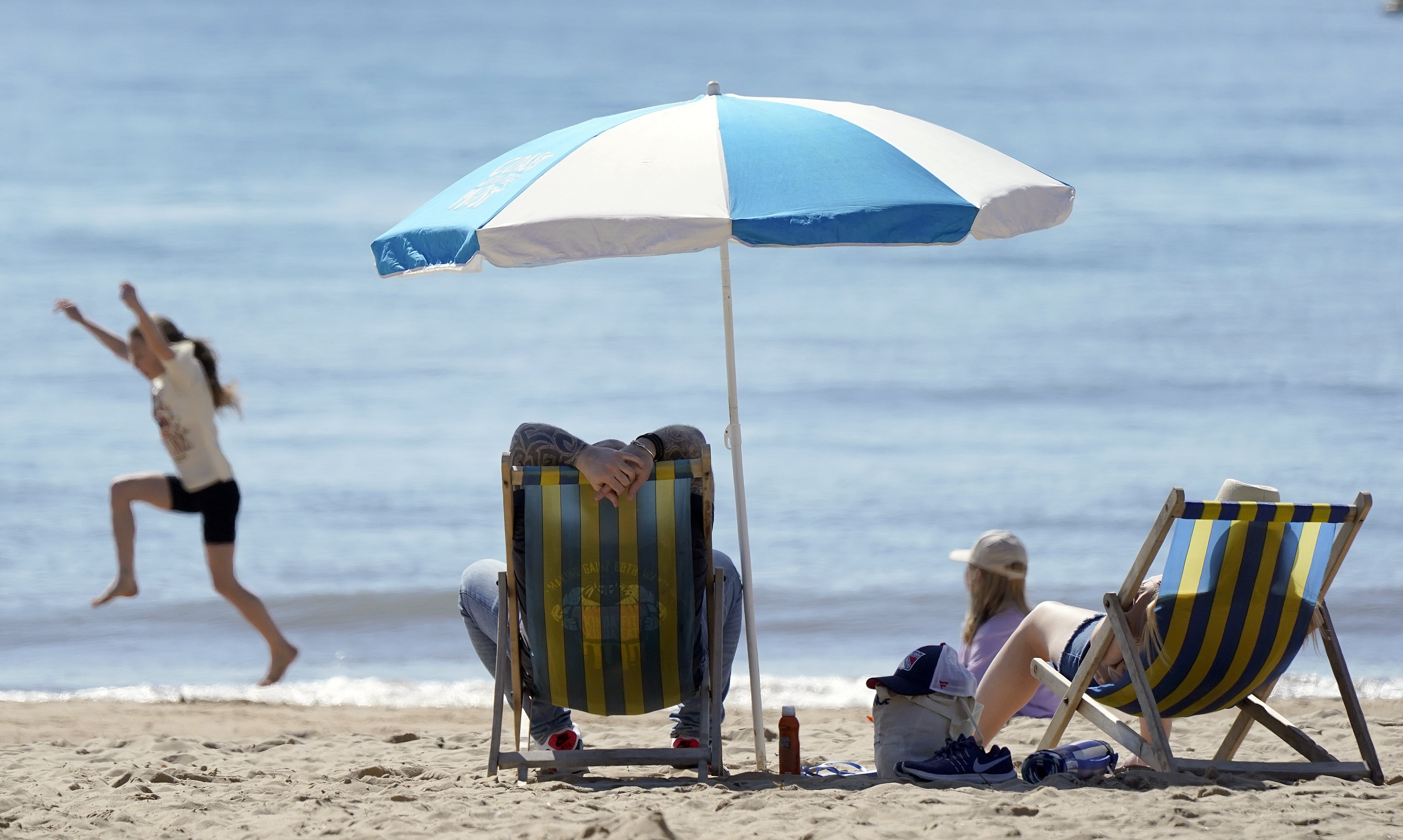
The long weekend has had a promising start with temperatures reaching up to 23.4C on Good Friday, making some parts of the UK warmer than California as Britons sizzled in the hottest say of the year so far.
The spell of sunny weather is predicted to last the whole weekend, with temperatures averaging high teens through Saturday and Sunday.
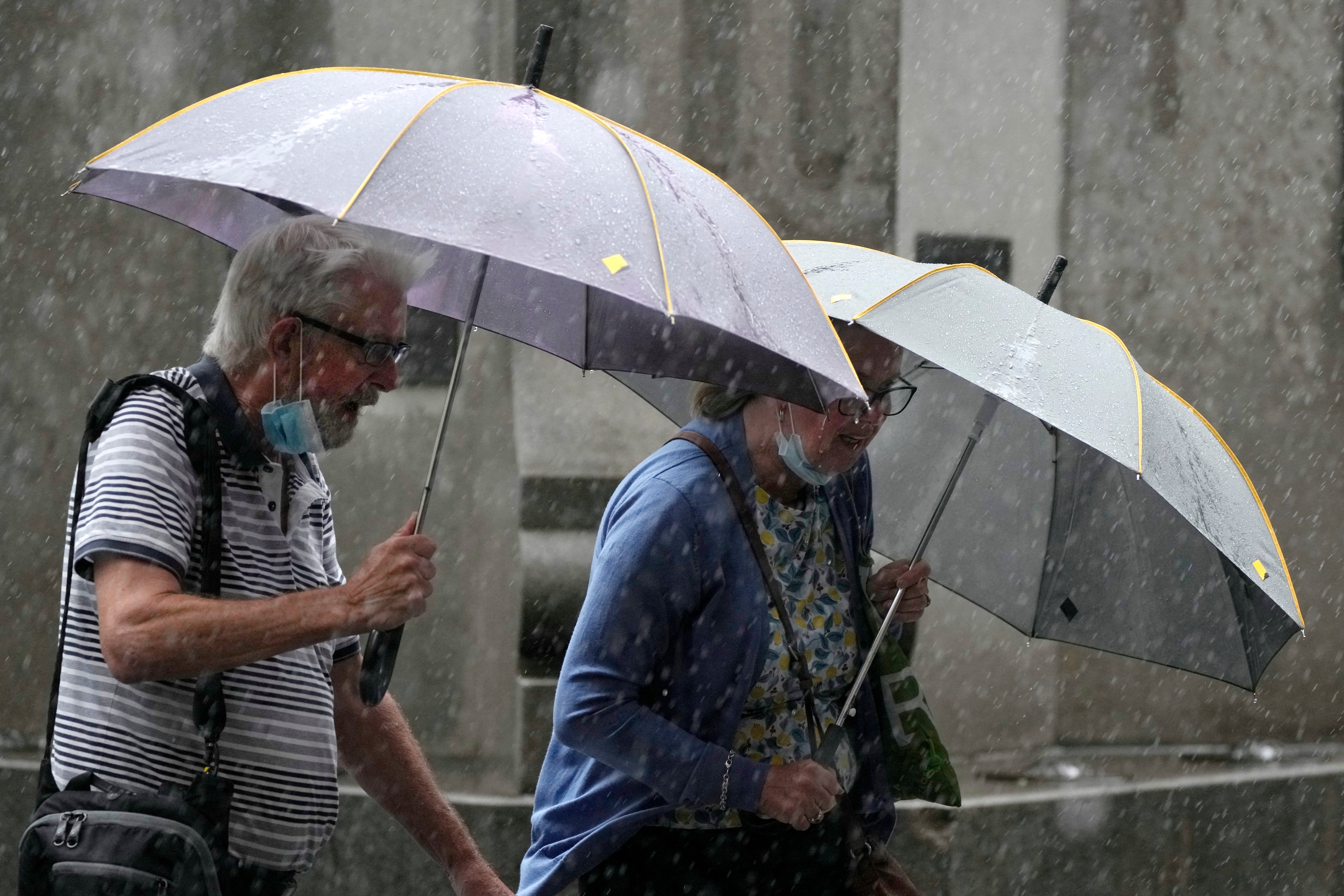
But once the bank holiday finishes, so will the bright and dry weather as forecasters say that Tuesday will see the weather take a turn for the worst.

Met Office forecaster Richard Miles told The Independent that “Monday is looking at more average temperatures and wetter,” advising sun-seekers to “make the most of the weekend” for outdoor Easter activities.
BBC’s Tomasz Shafernaker said Monday will bring more cloud and the winds will switch direction, they will be coming off from the Atlantic so temperatures will ease.
But he added that as the weather front moves across the UK, “it will fizzle out” so the rain will mainly fall in the north west of Scotland while the rest of the UK could get lucky with more dry spells.
As people get back to work on Tuesday, there will be no fear of missing out on warm weather as “plenty of showers will develop inland over the course of Tuesday,” confirming the end of the sunny bank holiday weekend.
“Many of us wil start off sunny on Tuesday but through the morning into the afternoon, these heavy showers will start to develop.”
The showers will be “spread right across the country” and the temperatures will drop from high teens to around 13-15C.
Mr Shafernaker explained that the wind direction coming off the North Sea on Wednesday will cool down the temperature to around 12-15C.
Neil Armstrong, Chief Meteorologist, said that after the first half the Easter bank holiday, “a low-pressure system will affect the northwest of the UK later Sunday, bringing unsettled weather to the north with some strong winds and rain in the northwest, which could impact driving conditions for some, but further south it will be drier, especially in the southeast.
“There will be varying amounts of cloud, but temperatures are widely likely to be above average for the time of year, although low cloud might keep temperatures lower in coastal areas.”
According to the Met Office’s outlook for next week, we will see cooler and more unsettled with some showers or rain from Monday to Wednesaday, but also with bright or sunny spells.
Winds will be mostly light or moderate, but fresh at times in the north.
MET OFFICE OUTLOOK
Today:
Most areas will be fine and dry with warm sunny spells once early fog patches clear. Sunshine turning hazy later in west. A few North Sea and southwestern coastal areas may stay cool and cloudy though.
Tonight:
Cloud and spells of rain developing across Northern Ireland and perhaps parts of western Scotland. Elsewhere dry with clear spells and a few mist and fog patches.
Sunday:
Most areas fine and dry with best of sunshine in east, once early mist and fog patches clear. Cloudier in west with rain across Northern Ireland, spreading to western Britain.
Outlook for Monday to Wednesday:
Cooler and more unsettled with some showers or rain, but also with bright or sunny spells. Winds mostly light or moderate, but fresh at times in the north.
Join our commenting forum
Join thought-provoking conversations, follow other Independent readers and see their replies
Comments