Your support helps us to tell the story
From reproductive rights to climate change to Big Tech, The Independent is on the ground when the story is developing. Whether it's investigating the financials of Elon Musk's pro-Trump PAC or producing our latest documentary, 'The A Word', which shines a light on the American women fighting for reproductive rights, we know how important it is to parse out the facts from the messaging.
At such a critical moment in US history, we need reporters on the ground. Your donation allows us to keep sending journalists to speak to both sides of the story.
The Independent is trusted by Americans across the entire political spectrum. And unlike many other quality news outlets, we choose not to lock Americans out of our reporting and analysis with paywalls. We believe quality journalism should be available to everyone, paid for by those who can afford it.
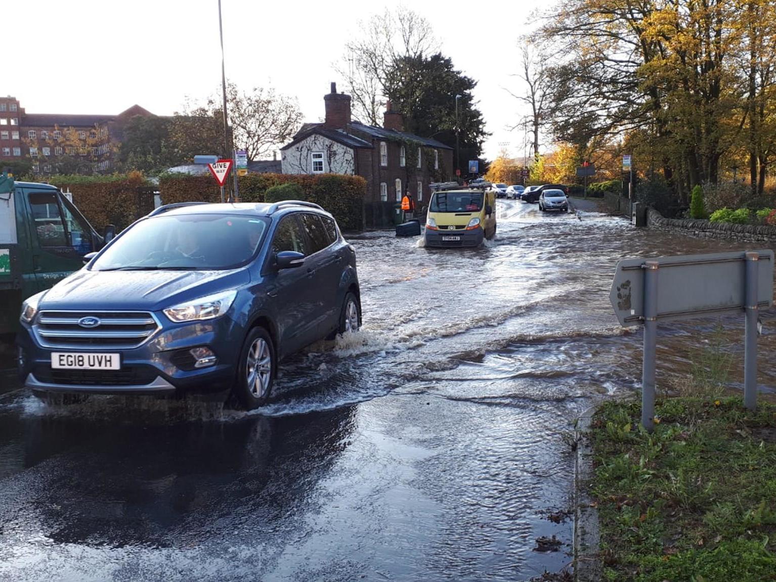
Your support makes all the difference.Up to 50mm of rainfall is expected to sweep parts of northeast England and southeast Scotland tonight as Storm Sebastian crosses over the UK.
The Met Office has issued weather warnings for these areas to alert residents of likely flooding and possible disruptions to journey times.
A Met Office forecaster told The Independent that up to 50mm of rain can be expected over high ground in south east Scotland, over the towns of Lauder, Greenlaw, and Melrose.
The weather warning in the northeast of England originally covered northeastern areas from Newcastle to Hull, but has been extended south to Lincolnshire as well, with 10-20mm of rain expected to fall in these areas.
These weather warnings will remain in place until 6am on Thursday, as the storm passes into the North Sea.
According to the forecaster, the wet weather is mostly on its way out and the UK will have enjoy a much sunnier and drier climate by Friday as a higher pressure system develops.
However, a high pressure system mean it will be much colder towards to the weekend.
Polar air from the Arctic will arrive on Friday, lowering temperatures to a bitter -5C in the north of the UK.

Join our commenting forum
Join thought-provoking conversations, follow other Independent readers and see their replies
Comments