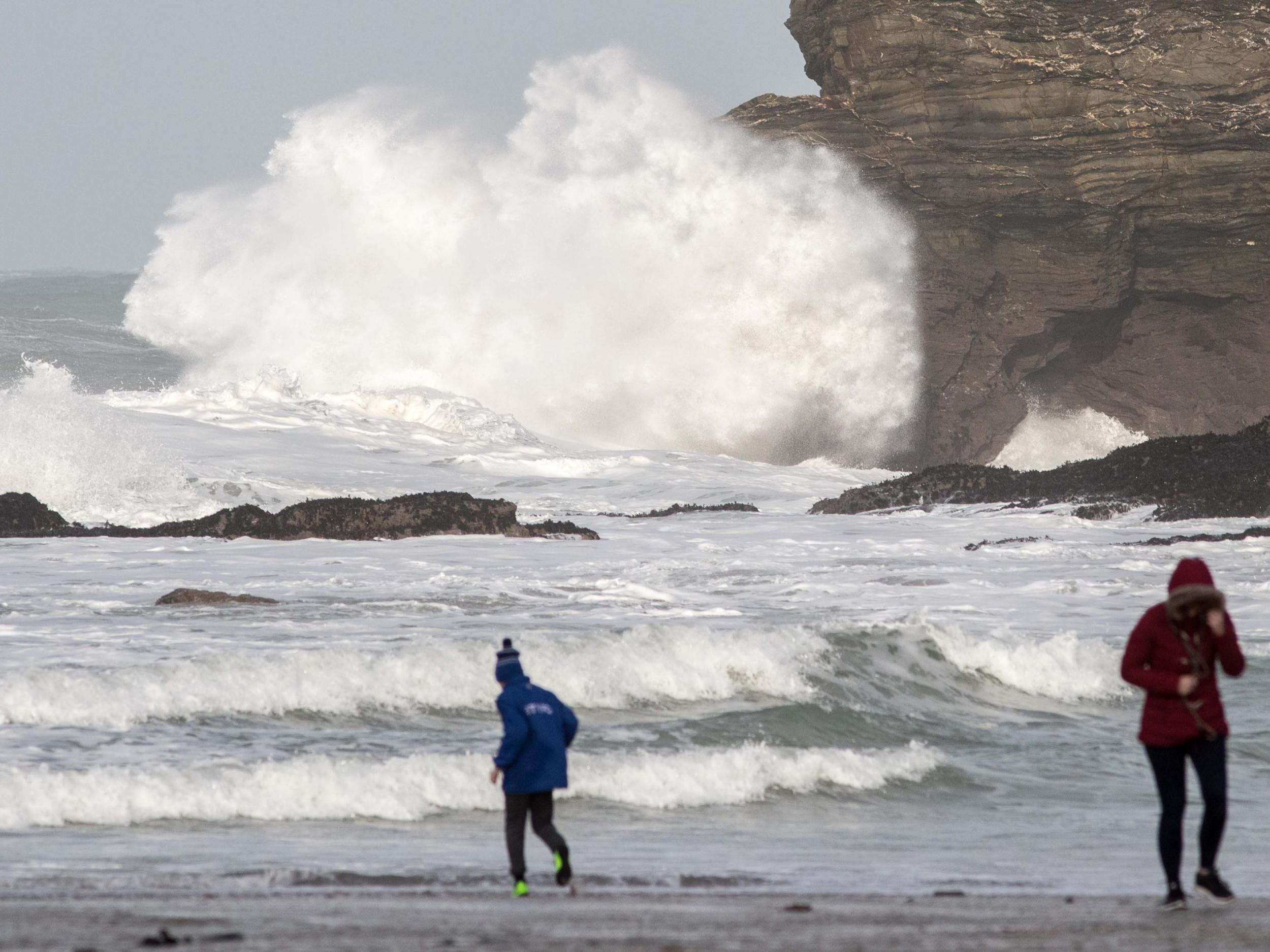
UK weather: Britain braces for 80mph winds as Storm Helene prompts 'danger to life' warning - but there's warm weather on the way
Eastern parts of the country could see warm, tropical temperatures of around 25C after Helene passes

Your support helps us to tell the story
From reproductive rights to climate change to Big Tech, The Independent is on the ground when the story is developing. Whether it's investigating the financials of Elon Musk's pro-Trump PAC or producing our latest documentary, 'The A Word', which shines a light on the American women fighting for reproductive rights, we know how important it is to parse out the facts from the messaging.
At such a critical moment in US history, we need reporters on the ground. Your donation allows us to keep sending journalists to speak to both sides of the story.
The Independent is trusted by Americans across the entire political spectrum. And unlike many other quality news outlets, we choose not to lock Americans out of our reporting and analysis with paywalls. We believe quality journalism should be available to everyone, paid for by those who can afford it.
Your support makes all the difference.Storm Helene could pose a danger to life with gusts of up to 80mph when it hits the UK on Monday night, forecasters have warned.
The Met Office have issued a yellow severe weather warning for Northern Ireland, Wales and western parts of England and Scotland from 6pm until noon on Tuesday.
Helene is expected to bring very strong winds and rain with the potential to cause injury from flying debris, large waves and falling trees. Disruption to road, rail, air and ferry services is also possible.
However Helen is expected to be followed by the arrival of warm tropical air, which could bring temperatures of around 25C to the southeast of England.
On Saturday afternoon Helene was still categorised as a tropical storm with sustained winds of 70mph as it approached the Azores in the Atlantic, according to the US National Hurricane Centre.
The storm will weaken as it approaches Ireland and its centre is predicted to pass through Northern Ireland and on towards western Scotland.
Met Office chief meteorologist Andy Page said: "There remains large uncertainty in the exact route Storm Helene will take.
"A spell of very strong winds is expected, initially for parts of south-west England and west Wales, then later south-west Scotland and the southeast of Northern Ireland.
"Winds are likely to gust to 55-65 mph quite widely in the warning area, with possible gusts of 70-80 mph in exposure".
Helene was one of a series of tropical storms brewing in the Atlantic, with Hurricane Florence headed west across the US East Coast.
The storm is expected to clear quickly to the north of Scotland through Tuesday morning and dissipate by Wednesday.
"By Wednesday the main impact will be bringing in a burst of summer-like warmth in the southeast," said Met Office spokesman Craig Snell.
The forecast for Saturday night is mixed, with wet and windy conditions in the north and west and dry, clear spells towards the southeast.
Sunday would be a "fairly decent day" with temperatures in the low 20s in the southeast, said Mr Snell.
Join our commenting forum
Join thought-provoking conversations, follow other Independent readers and see their replies
Comments