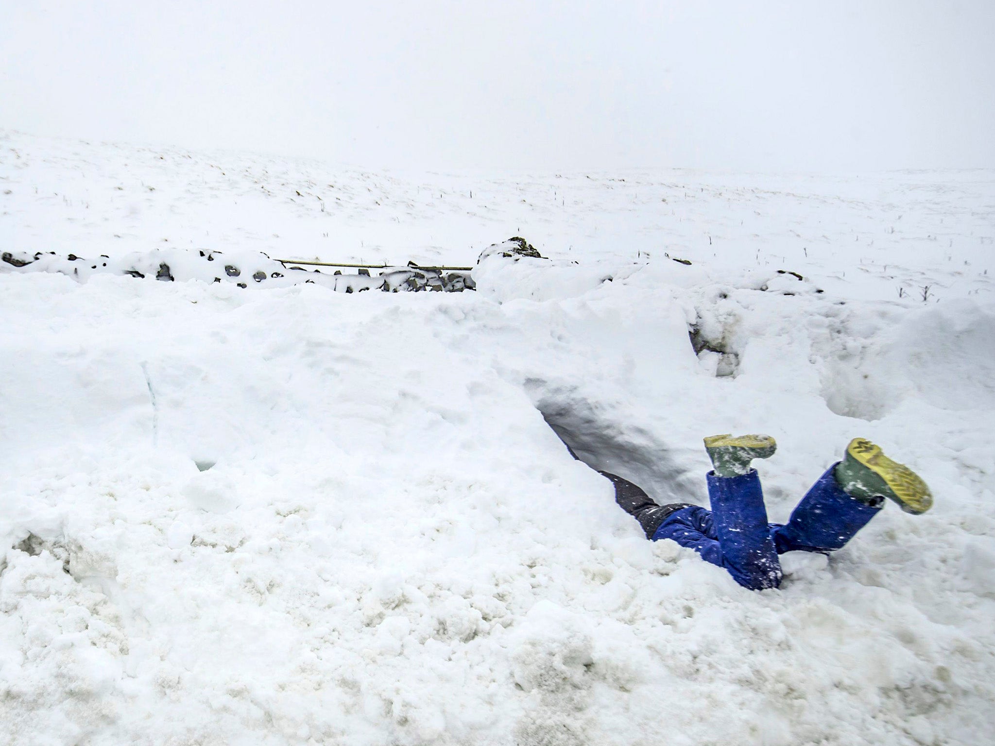
UK weather: 'Coldest week of winter' to bring snow to most of country as temperatures hit -7C
'Many people will see some snow but don't expect to build a snowman.'
Your support helps us to tell the story
From reproductive rights to climate change to Big Tech, The Independent is on the ground when the story is developing. Whether it's investigating the financials of Elon Musk's pro-Trump PAC or producing our latest documentary, 'The A Word', which shines a light on the American women fighting for reproductive rights, we know how important it is to parse out the facts from the messaging.
At such a critical moment in US history, we need reporters on the ground. Your donation allows us to keep sending journalists to speak to both sides of the story.
The Independent is trusted by Americans across the entire political spectrum. And unlike many other quality news outlets, we choose not to lock Americans out of our reporting and analysis with paywalls. We believe quality journalism should be available to everyone, paid for by those who can afford it.
Your support makes all the difference.Forecasters are warning the first full week of February could be one of the coldest of the winter so far, with most of the UK braced for snow and ice in the days ahead.
A series of yellow weather warnings have been issued, with temperatures plummeting to as low as -7C in some places.
And the cold snap will grip the country until at least next weekend, with milder weather not expected until the middle of the following week.
But while the bulk of the population will shiver through sub-zero temperatures, the Met Office says the majority of the country will see at least "a few flakes" of snow.
"It's going to be a cold week, plenty of dry weather around, but many places will probably see some snow at some point during the week, but for a lot of us not really amounting to much at all," said forecaster Craig Snell.
"Probably one of our coldest weeks of this winter so far, but snow-fall wise, doesn't really look too disruptive at this stage."
The Met Office said ice was likely to form overnight on Sunday from 2am until 10am along the east coast as the mercury plummets, bringing potentially difficult driving conditions.
On the whole, Sunday will be much drier and brighter than Saturday, with a bitter north-east wind making temperatures feel close to freezing in East Anglia and the South East.
A further weather warning for snow and ice is in place from 8pm on Sunday until 10am on Monday, spanning south-east England.
Scattered rain, sleet and snow showers coming in from the north sea are expected to be most frequent in Kent and East Sussex on Sunday evening, before affecting parts of East Anglia and Greater London later into the night.
Up to 3cm of snow could accumulate inland, but mainly on hills more than 100 metres high.
Mr Snell also said the working week would start on a "bitterly cold" note, with the bulk of the population waking up to temperatures between 0C and -2C.
The low temperatures of -7C are expected in sheltered parts of Scotland and spots most prone to the cold in the Midlands and Wales.
Then, between 9pm on Monday and 3pm on Tuesday, there is a further chance of snow and ice for the north of England, northern Ireland, north Wales and Scotland.
A spell of rain, sleet and snow will move east across the UK, gradually weakening across England and Wales.
Mr Snell added: "Quite a lot of the UK will see some snow as we head through Tuesday but as it ventures into the Midlands, south-west England and eventually later in the day across south-east England, it's just going to be a few flakes of snow.
"So many people will see some snow but don't expect to build a snowman."
Tuesday morning is again expected to be widely below freezing, with highs of 5-6C in spots on the western coast of Wales and south-west England.
Overnight into Wednesday will be another chilly night, while the day will generally be cold, crisp and sunny.
A front of rain is expected to move through the country on Thursday, before the cold air swiftly returns.
Additional reporting by PA
Join our commenting forum
Join thought-provoking conversations, follow other Independent readers and see their replies
Comments