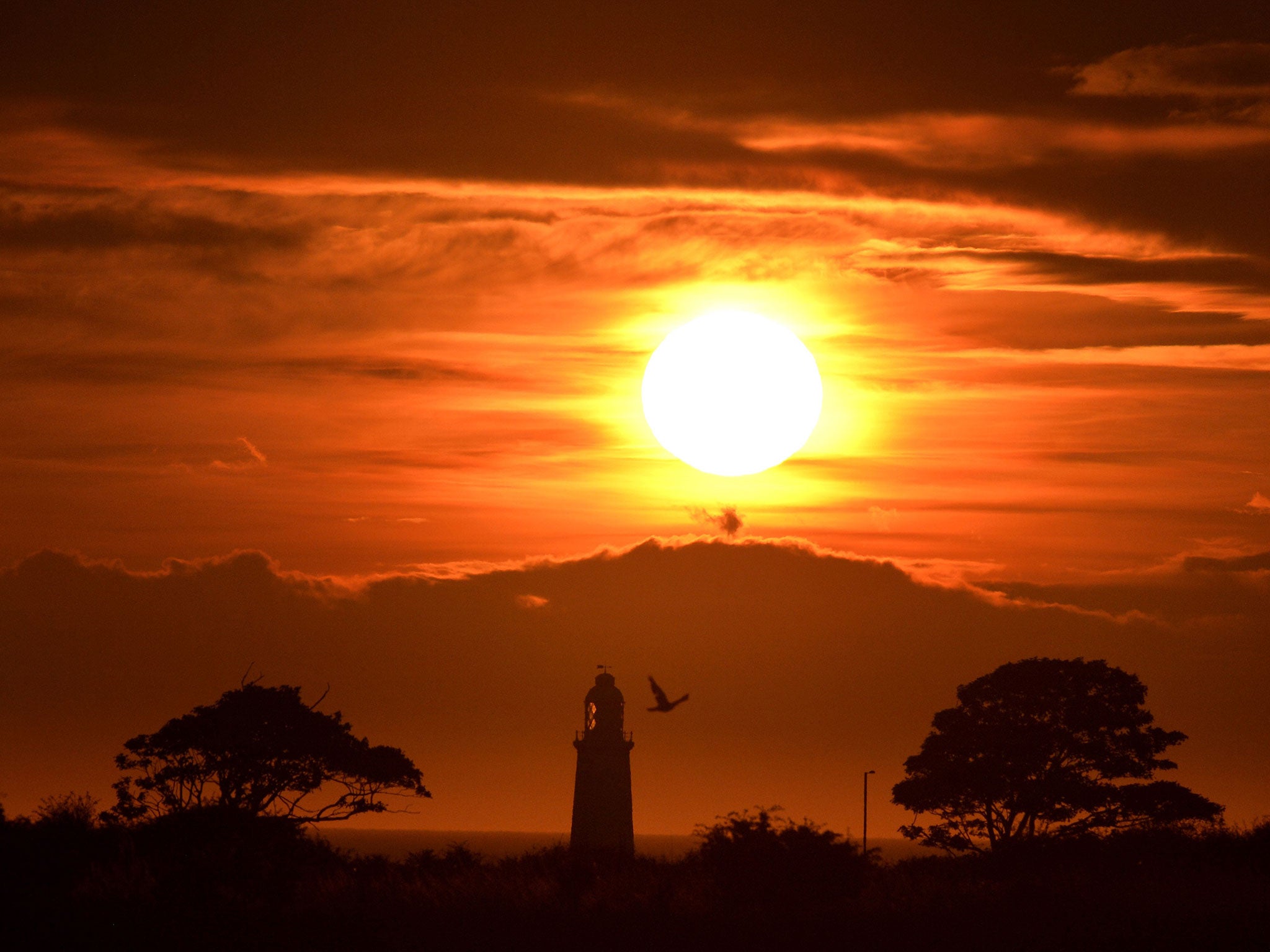
UK weather: Britain hotter than Barcelona and the Seychelles as London hits 30C
But the heat is not expected to last

Your support helps us to tell the story
From reproductive rights to climate change to Big Tech, The Independent is on the ground when the story is developing. Whether it's investigating the financials of Elon Musk's pro-Trump PAC or producing our latest documentary, 'The A Word', which shines a light on the American women fighting for reproductive rights, we know how important it is to parse out the facts from the messaging.
At such a critical moment in US history, we need reporters on the ground. Your donation allows us to keep sending journalists to speak to both sides of the story.
The Independent is trusted by Americans across the entire political spectrum. And unlike many other quality news outlets, we choose not to lock Americans out of our reporting and analysis with paywalls. We believe quality journalism should be available to everyone, paid for by those who can afford it.
Your support makes all the difference.Summer will return in a brief blaze to parts of Britain today after seemingly abandoning the isles some weeks ago - but will be followed by thunderstorms and torrential rain shortly after.
A weather phenomenon known as a "Spanish Plume" will drive thermometers up to 30C in London, 28C in the east and 25C in central England - but sunbathers are warned to be cautious about the aftermath.
As the name suggests, the "plume" is hot air moving up from the Spanish plateau towards the UK which, when it meets cooler air from the Atlantic, is forced rapidly upwards to produce thunderstorms and, sometimes, tornadoes.
The unstable weather means that for a few hours at least this weekend, some of the UK will be bathed in more heat than the Seychelles and Barcelona.
Yet whilst central and eastern England - notably Norwich, Cambridge, Bath and Birmingham - will be in the mid- to high- 20Cs, the north and the west will take the hit as the hot air cools.
Hail, flash foods and strong wind gusts are likely to sweep across the Midlands and further north, before spreading to Scotland overnight and into Sunday - though Northern Ireland is likely to escape undrenched.
Eastern England could also see its fair share of dark clouds and long downpour as the Met Office issued a yellow "be aware" warning last night for rain that lasting from 2pm to 9pm today.
The warning comes after US scientists found that July was the warmest month on record worldwide with an average global temperature of 16.5C, and 2015 is likely to be the hottest year.
Join our commenting forum
Join thought-provoking conversations, follow other Independent readers and see their replies
Comments