UK weather: 40mm rainfall to bring yet more flooding as country prepares for arrival of ‘beast’ of a storm
Severe warnings issued, with gale force 80mph winds expected to cause widespread disruption

Your support helps us to tell the story
From reproductive rights to climate change to Big Tech, The Independent is on the ground when the story is developing. Whether it's investigating the financials of Elon Musk's pro-Trump PAC or producing our latest documentary, 'The A Word', which shines a light on the American women fighting for reproductive rights, we know how important it is to parse out the facts from the messaging.
At such a critical moment in US history, we need reporters on the ground. Your donation allows us to keep sending journalists to speak to both sides of the story.
The Independent is trusted by Americans across the entire political spectrum. And unlike many other quality news outlets, we choose not to lock Americans out of our reporting and analysis with paywalls. We believe quality journalism should be available to everyone, paid for by those who can afford it.
Your support makes all the difference.It may be the last thing anyone in the south and south-west needs, but forecasters have warned of yet more heavy rain to hit the UK this afternoon.
Severe weather warnings have been issued to cover the next three days, and with 40mm (1.6ins) of rainfall expected in some parts of England and southern Wales the Met Office said it “will lead to further flooding”.
Two flood alerts of the most urgent level available to the Environment Agency (EA) – meaning a real danger to life – remain in place for the Somerset Levels, where many homes have already been evacuated.
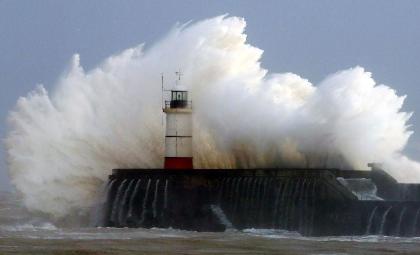
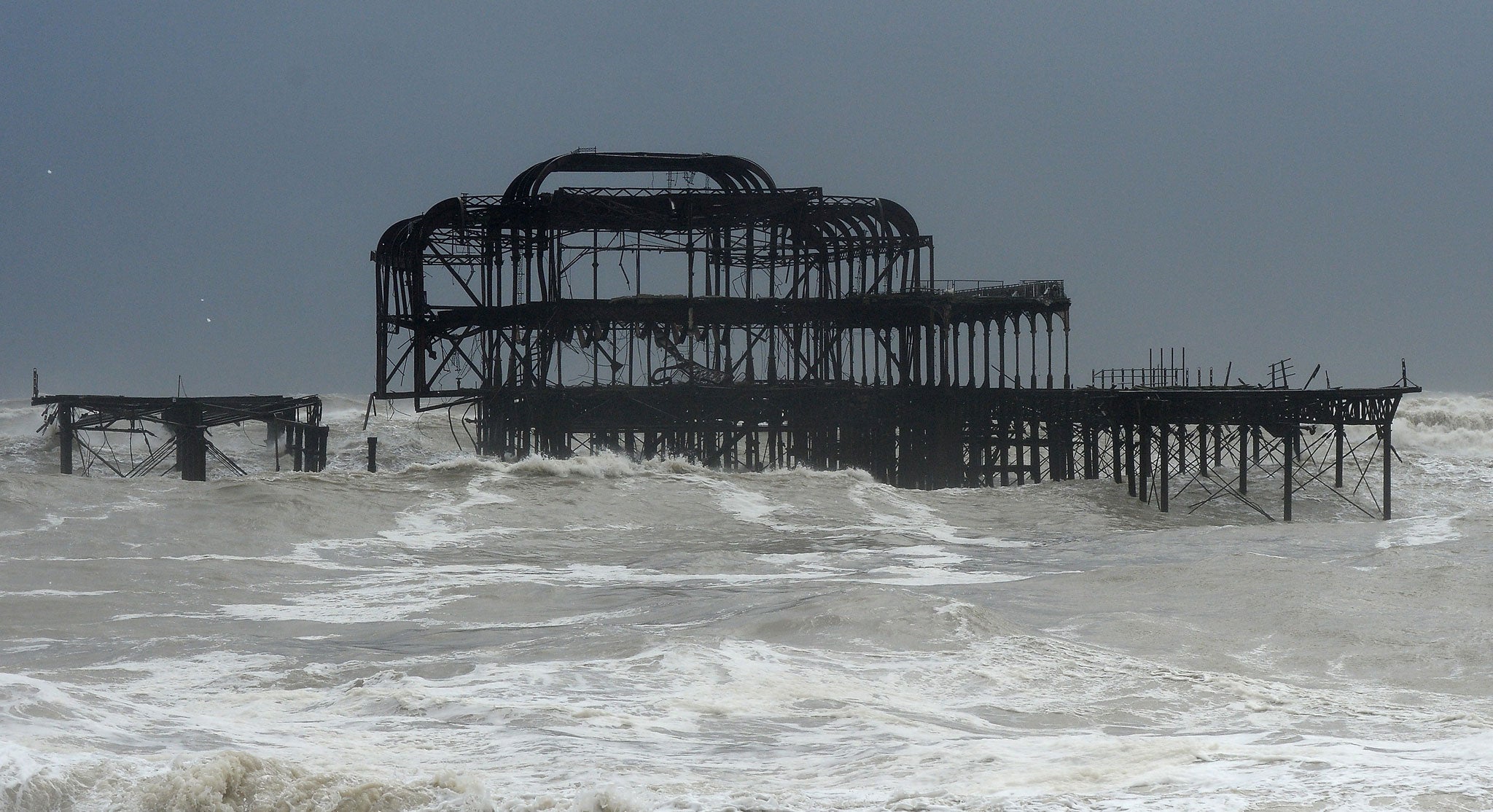
And when the fresh rains subside into Friday morning, they will be closely followed by what forecasters have described as a “beast” of a storm, bringing gale force 80mph winds that will batter the coast and topple trees.
Besides the worst-affected regions in south-west England and some of the south-east, the rest of southern England and Wales was issued with a yellow warning to “be aware” over the coming days. In total, the EA now has around 290 flood warnings in place across the UK.
David Cameron has announced that an extra £100 million will be set aside for flood defences this year and ordered the urgent start of river dredging efforts – despite strong EA opposition.
While yesterday it seemed the Prime Minister was taking over control from the Environment Minister to stamp his authority on the situation, it has now emerged Owen Paterson was forced to step aside to have emergency surgery on a detached retina.
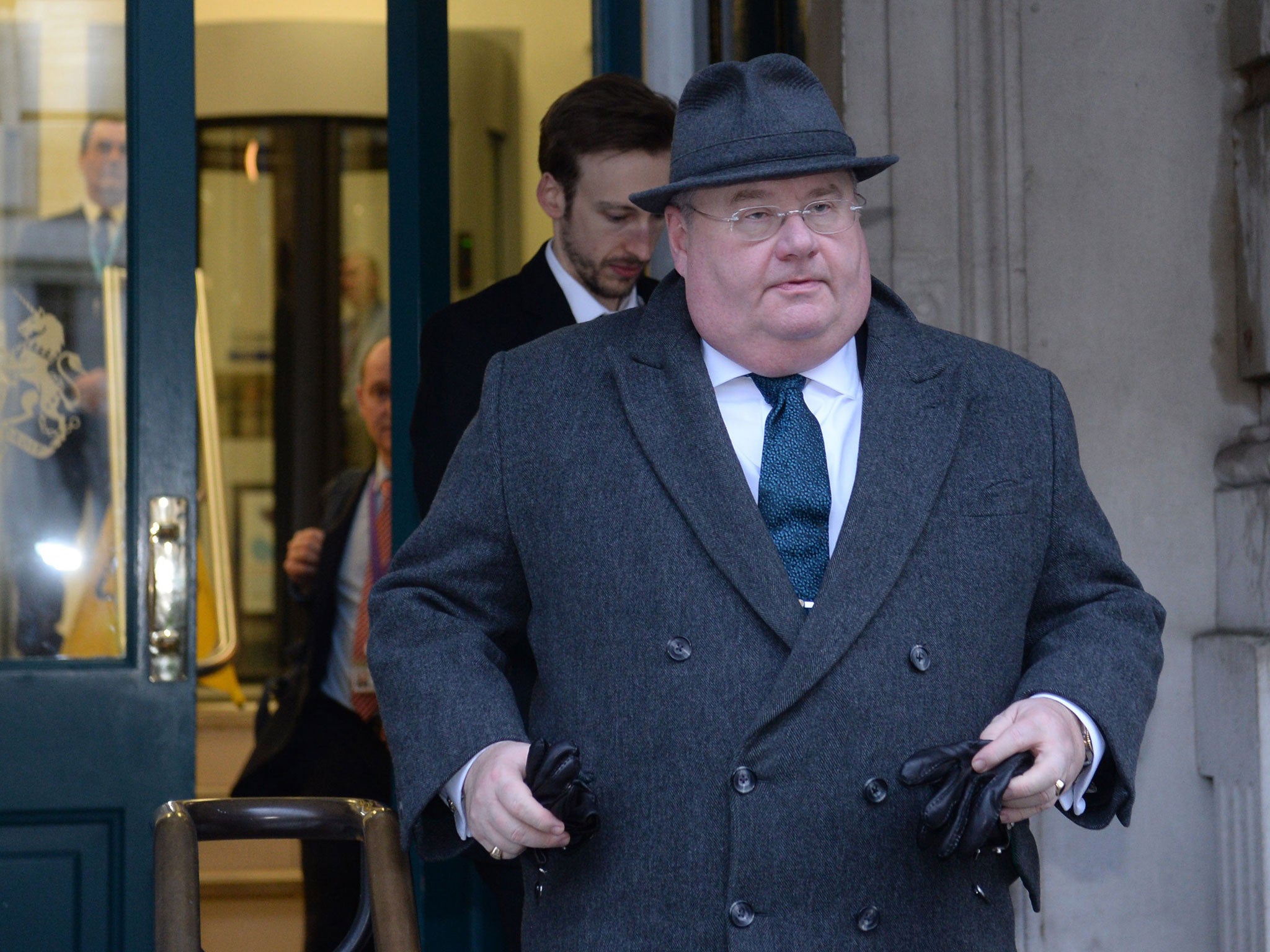
The Government’s emergency committee Cobra will now meet to discuss the flood response chaired by the Communities Secretary Eric Pickles, who will also make a statement to MPs.
In the Levels, which have been flooded since around Christmas and show no sign of drying out any time soon, not all residents have been willing to leave their homes.
Sue Sayer, in the village of Moorland, told BBC News: “They're advising, if you can, go. But there's an awful lot of people that are not because the risk then of looting if people see empty houses.
“There has already been looting in some properties, not directly in the centre of the village, but on the outskirts there's already been looting which is despicable.”

The coast is set to bear the brunt of the storms at the weekend, after a key railway link to the west has already been cut off at Dawlish, Devon, when a section of the sea wall gave way.
Warning on Twitter about the approach of the new storm, dubbed “Petra”, BBC weather presenter Derek Brockway said: “And look at this beast heading our way for the weekend! Batten down the hatches again! Yet another #ukstorm.
“Wales will see strong to severe gale force winds Saturday, especially in exposed parts of the south and west. Gusts of wind in excess of 50mph inland and 70mph along the Bristol Channel coast,” he wrote.

Met Office forecaster Kirk Waite said: “The real thing with the second system is the strength of the winds.
“Once the initial band of rain comes in you are going to see severe gales that could bring potential issues with a risk of trees falling.”
Join our commenting forum
Join thought-provoking conversations, follow other Independent readers and see their replies
Comments