UK snow forecast: Met Office warning as four inches set to fall in -3C freeze
Up to 10cm of snow forecast in some areas of Scotland

Your support helps us to tell the story
From reproductive rights to climate change to Big Tech, The Independent is on the ground when the story is developing. Whether it's investigating the financials of Elon Musk's pro-Trump PAC or producing our latest documentary, 'The A Word', which shines a light on the American women fighting for reproductive rights, we know how important it is to parse out the facts from the messaging.
At such a critical moment in US history, we need reporters on the ground. Your donation allows us to keep sending journalists to speak to both sides of the story.
The Independent is trusted by Americans across the entire political spectrum. And unlike many other quality news outlets, we choose not to lock Americans out of our reporting and analysis with paywalls. We believe quality journalism should be available to everyone, paid for by those who can afford it.
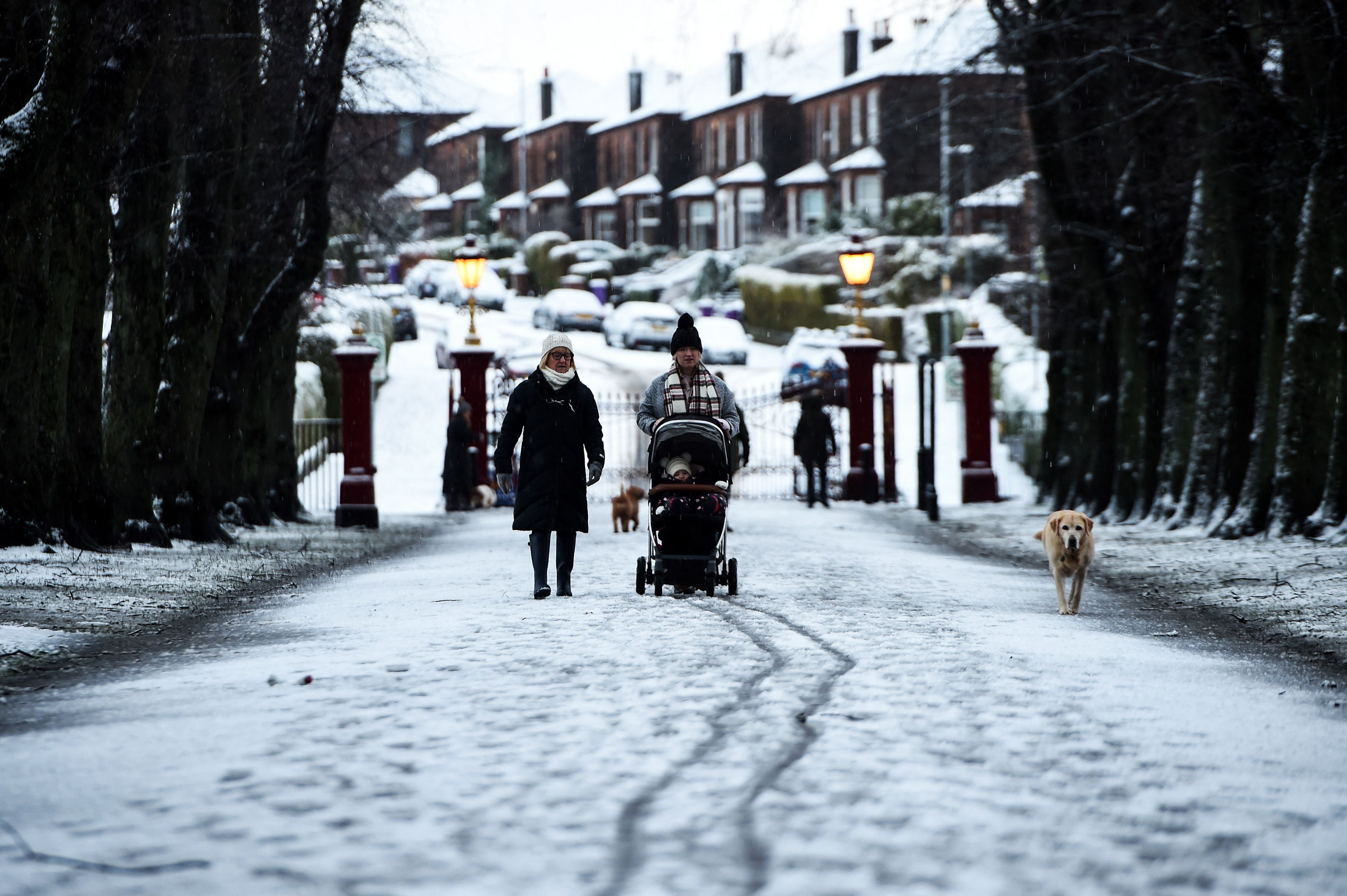
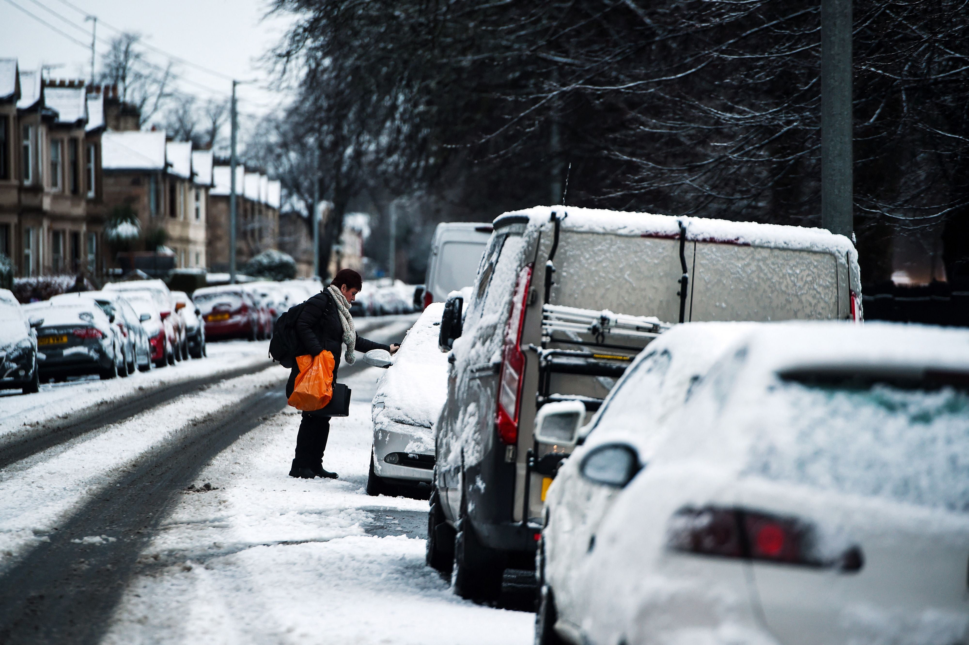
Your support makes all the difference.The Met Office has issued a yellow weather warning as up to four inches of snow are forecast to hit parts of the UK this week.
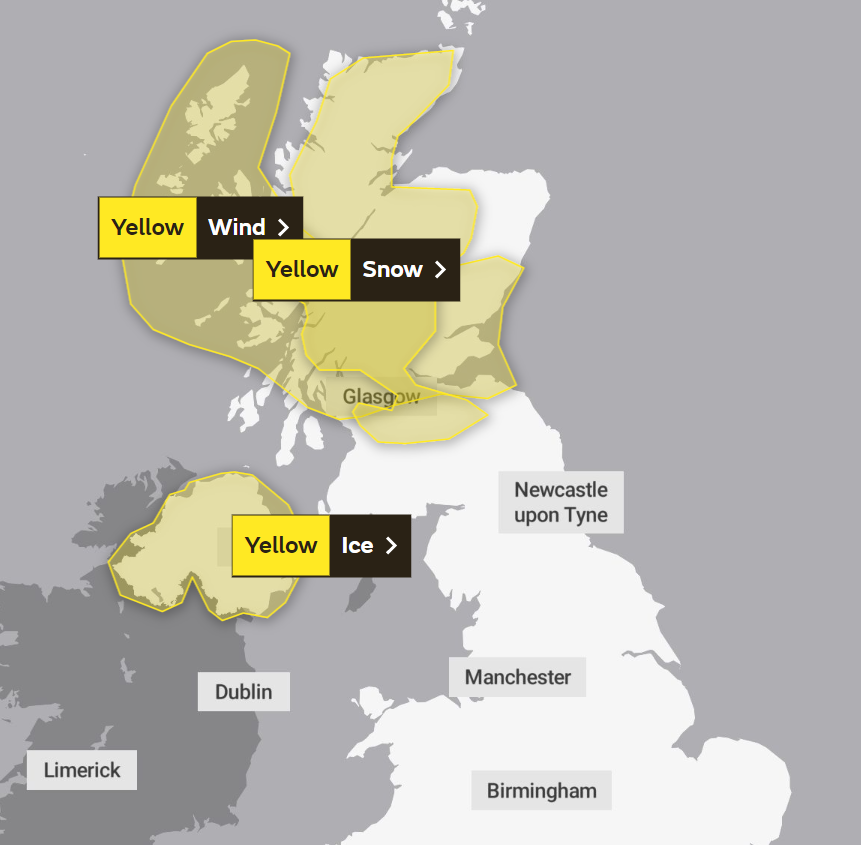
The weather warning covers parts of Scotland for Wednesday and Thursday - with travellers being warned that road and rail journeys could be affected.
The Met Office said: “Showers will fall as snow to quite low levels on Wednesday evening and night. Accumulations of 2-5 cm are possible above 200 metres elevation, with perhaps around 10 cm on some of the highest routes above 400 metres. At lower levels some slight slushy falls are possible, as well as a risk of icy surfaces, before the snow becomes more confined to high ground during Thursday morning.”
Snow was expected to fall between 4pm on Wednesday and 11am Thursday.
Follow live weather updates here.
Yellow weather warnings for ice have also been issued across Northern Ireland for Wednesday and Thursday.
The Met Office said: “Wintry showers will continue this evening in many places before becoming more confined to western counties later in the night. This will bring a risk of icy patches, especially on untreated surfaces.”
The wintry showers come as temperatures in the region are set to plummet this week with a low of -3C in parts of Scotland expected on Friday.
Alongside snow warnings in parts of Scotland, is overlapping wind warnings in the region.

According to the Met Office, a brief period of severe gale force winds will hit the Western Isles in the early hours of Thursday morning bringing gusts up to 75mph which will move eastward further into Thursday morning and bring wind speeds of 60mph.
The Met Office added: “Whilst such wind speeds are not unusual for the time of year, recently weakened trees and structures may mean a greater likelihood of localised damage or disruption.”
Met Office meteorologist Clare Nasir said: “The air will turn steadily colder over the next few days, culminating in a severe frost on Thursday night and into Friday.

“Before that though, we hang on to some milder conditions just to the south of this weather front as it sinks down to southern England and Wales through the next 24 hours.
“Further north, an area of low pressure will bring with it gales, if not severe gales, through Thursday.
“And we are likely to see some snow accumulations on the high ground, particularly in Scotland but even on the hills of Northern Ireland and Pennine Districts over the next few days associated with any showery bursts of rain and snow.”

The forecast for the rest of the week states:
Wednesday
Occasional rain affecting southern England. Cold further north with wintry showers, before more persistent rain and hill snow arrive across Scotland. Gales in the north, severe on some coasts later.
Thursday
Rain clearing southern England, then southern and eastern parts bright. Rain and hill snow across Scotland will be replaced by wintry showers. Windy in the north, severe gales at first.
Outlook for Friday to Sunday
Friday fine and dry for many after a frosty start. Turning wet and windy across the northwest later, this then spreading to all parts over the weekend and turning milder.
Join our commenting forum
Join thought-provoking conversations, follow other Independent readers and see their replies
0Comments