Mapped: UK heatwave in your area as Met Office warns temperatures to break over 31C
The Met Office predicts the UK will see the ‘highest temperatures’ this year
Your support helps us to tell the story
From reproductive rights to climate change to Big Tech, The Independent is on the ground when the story is developing. Whether it's investigating the financials of Elon Musk's pro-Trump PAC or producing our latest documentary, 'The A Word', which shines a light on the American women fighting for reproductive rights, we know how important it is to parse out the facts from the messaging.
At such a critical moment in US history, we need reporters on the ground. Your donation allows us to keep sending journalists to speak to both sides of the story.
The Independent is trusted by Americans across the entire political spectrum. And unlike many other quality news outlets, we choose not to lock Americans out of our reporting and analysis with paywalls. We believe quality journalism should be available to everyone, paid for by those who can afford it.
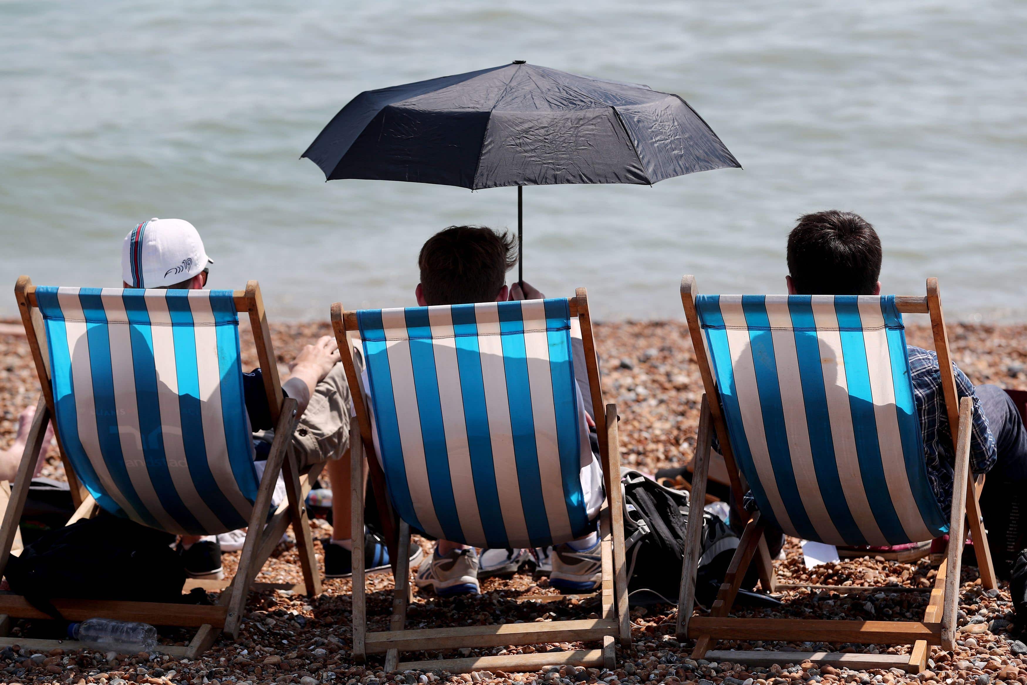
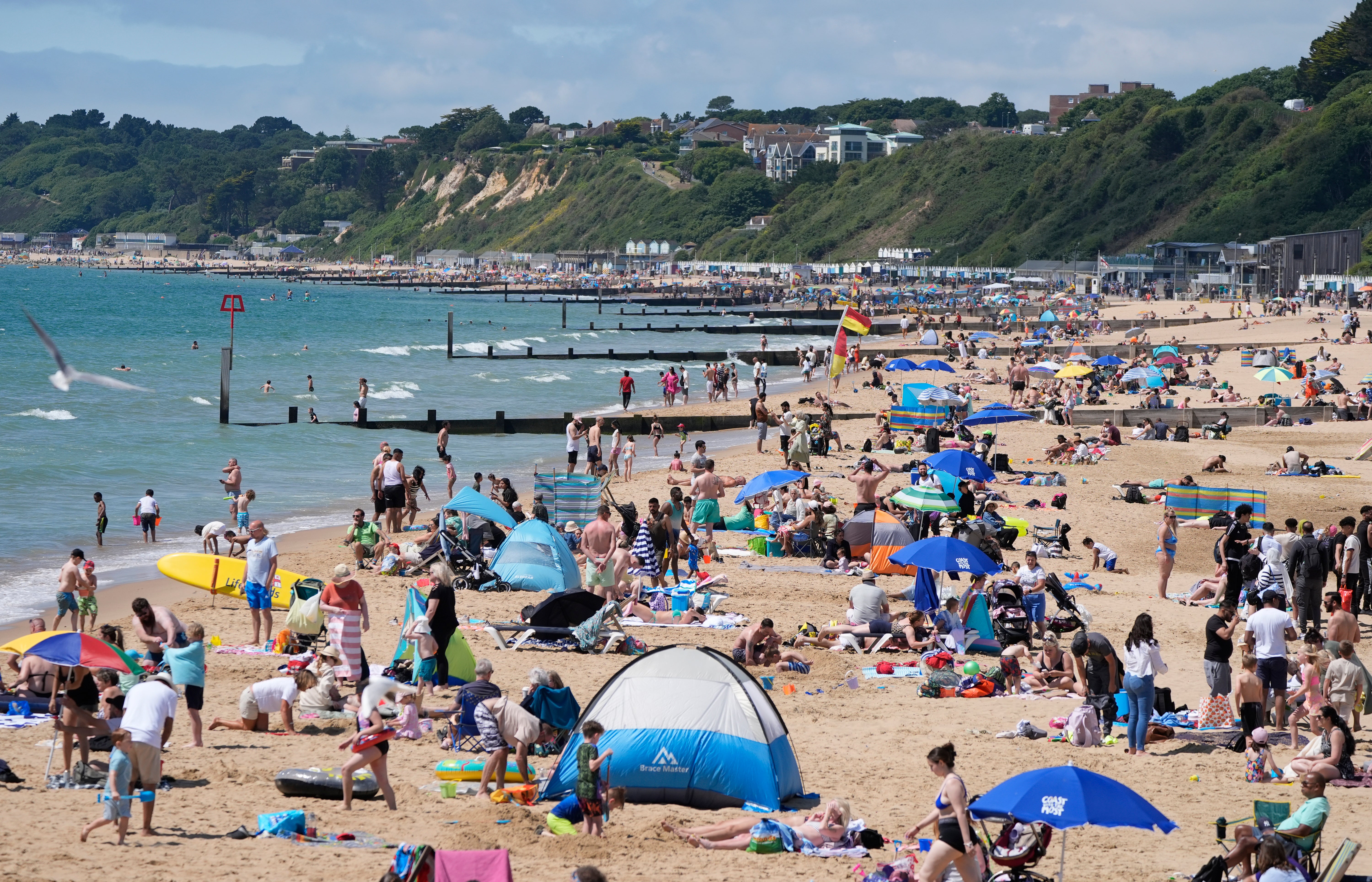
Your support makes all the difference.Much of the UK is set to bask in a scorching heatwave this week as memories of a drizzly spring melt away.
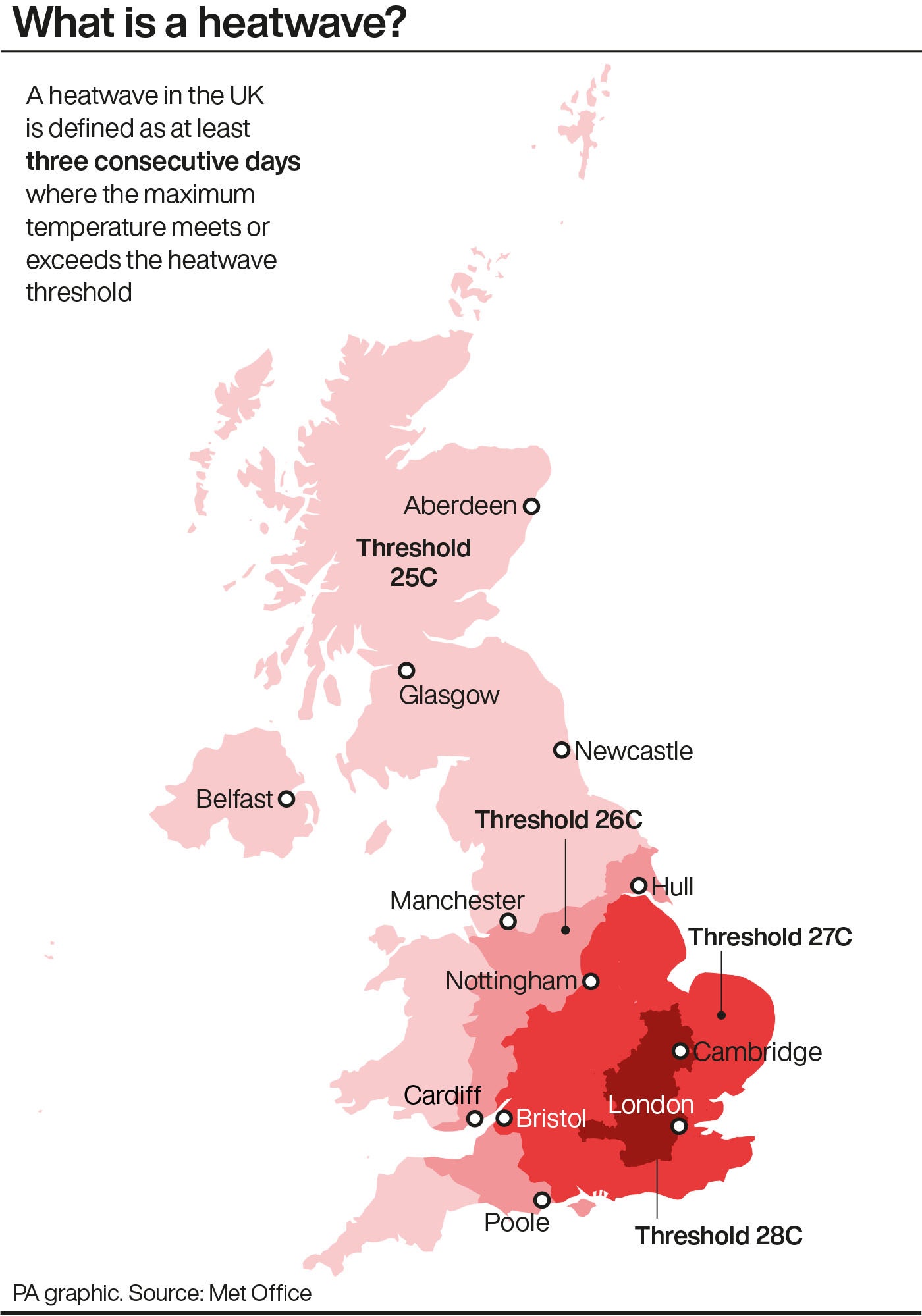
The Met Office said the mercury will peak on Wednesday or Thursday with most of the country experiencing “the finest conditions and highest temperatures so far this year” as the hottest spots of some central, southern, and eastern England may see temperatures hit the low 30s.
But as some areas swelter it will turn cooler in Scotland, Northern Ireland, northern England as an Atlantic front moves through, according to the forecaster.
A yellow heat health alert has been issued by the UK Health Security Agency (UKHSA) and Met Office for most of England, with all but the North East included in the warning.
The alert will come into force from Monday morning and remain in place until Thursday afternoon.
Liam Eslick, a meteorologist at the Met Office, said Monday will see mostly dry weather with “plenty of sunny spells”.
On Tuesday, conditions are expected to become cloudy and murky in western Scotland and Northern Ireland. Some showers will be seen across northern England which could turn thundery, but the rest of the country will see “more sunshine” and temperatures up in the mid to high 20s.
Mr Eslick said Wednesday is likely to be the warmest of the days so far with highs of 30C in the South East.
However, Thursday is likely to see a breakdown in the weather with clouds and outbreaks of rain forecast across the country. The meteorologist said there is even the possibility of an “odd thunderstorm for some”.
Temperatures on Thursday are expected to remain “widely warm” with some areas seeing highs of up to 31C.
The heat marks a break from the wet conditions in spring, which saw 32 per cent more rainfall than the average in England and Wales, making it the fifth wettest for England and the eighth wettest recorded for Wales.
Exacta Weather forecaster James Madden said the current warm weather would persist as it is at present before temperatures would start to rise “significantly” by the day.
He added that, after this, the UK could see a “good few days” of very warm weather, setting the stage for a potential heatwave and the first 30C highs of the year.
“At the absolute bare minimum, we should be looking at a good three to five day very warm and hot period or longer, with potentially excessively hot weather developing during this period as some major heat gets drawn north thanks to high pressure across our shores.”
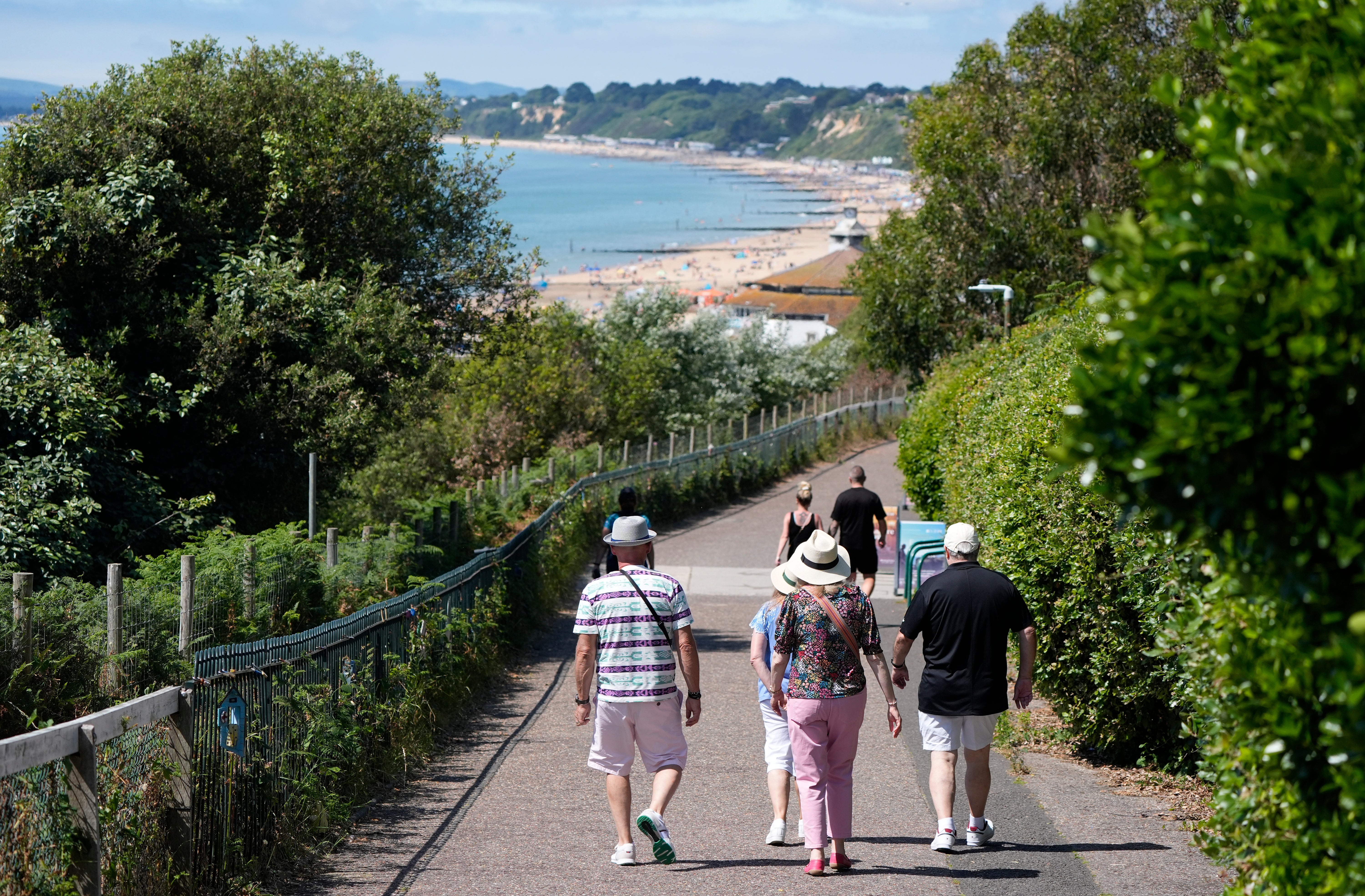
The warnings came as firefighters said they will be working closely with councils to ensure that open spaces are carefully managed to reduce the risk of wildfires, particularly in areas where open spaces meet residential, commercial or industrial buildings.
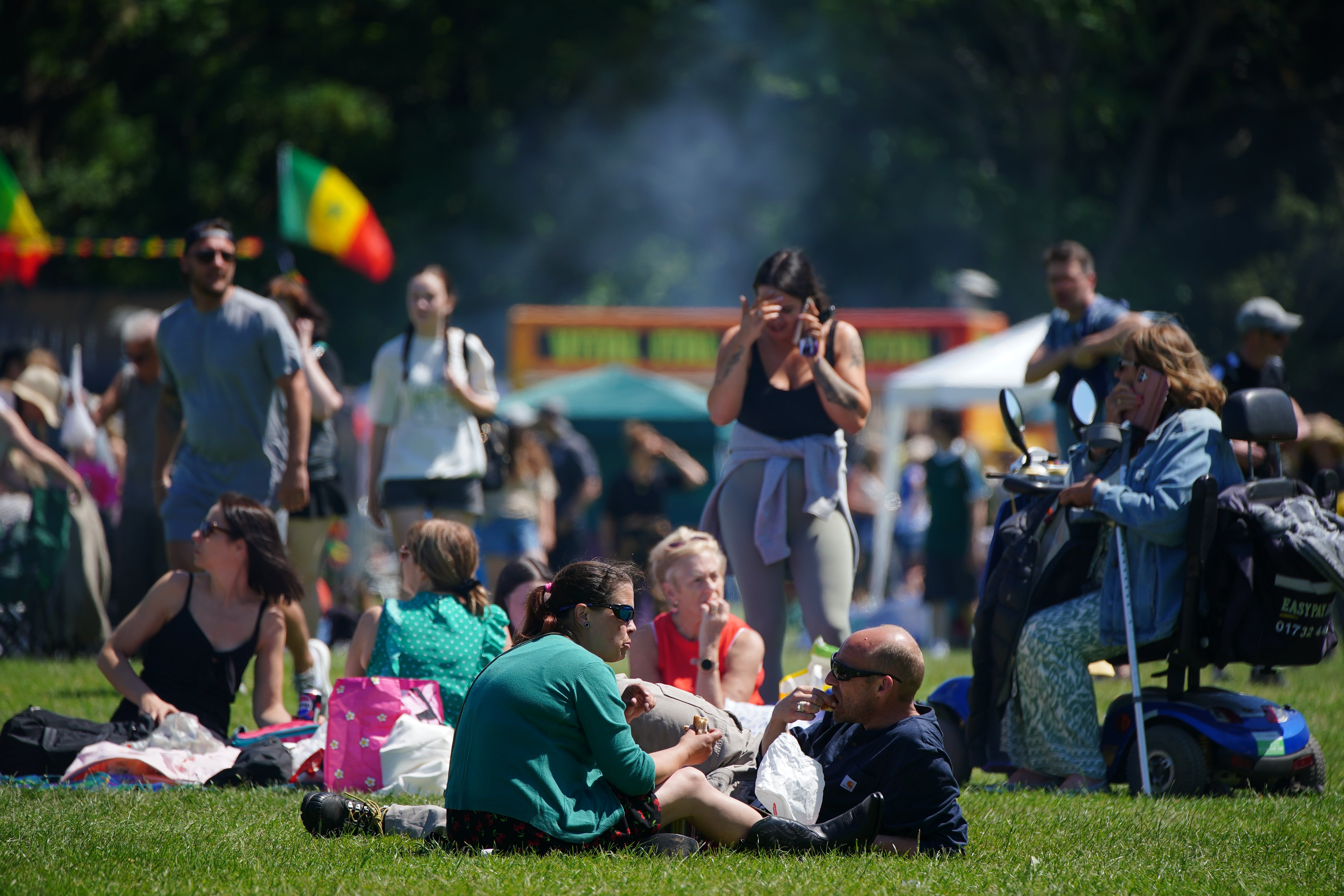
London Fire Brigade Assistant Commissioner Carter said: “We know many Londoners will want to enjoy the nice weather by visiting a park or open space. However, we’re asking people not to take disposable barbecues with them as they can cause grass fires, especially in hot weather when the ground is dry. These fires are unpredictable and can spread rapidly, causing a significant amount of damage.
London Fire Brigade’s advice during a heatwave
Top water safety tips
- Don’t go into the water if someone else is in trouble. Call 999, tell them to float.
- Look for nearby public rescue equipment. If not available, throw something that floats.
- Never drink alcohol and then go for a swim or attempt to jump into water
- Avoid walking/running very close to water on your own or late at night - it’s easier than you think to slip and fall in
Grass fire prevention tips
- Don’t drop cigarettes or anything that is burning on dry ground.
- Don’t drop cigarettes out of car windows - they may land on dry grass by the roadside.
- Don’t have barbecues in parks and public spaces.
- Do not barbecue on balconies, the wind may carry smouldering ash towards grassland.
- Be aware that children, animals, balls or anything else may knock over barbecues, increasing the risk of grass fires, especially when in busy parks or public spaces.
Join our commenting forum
Join thought-provoking conversations, follow other Independent readers and see their replies
Comments