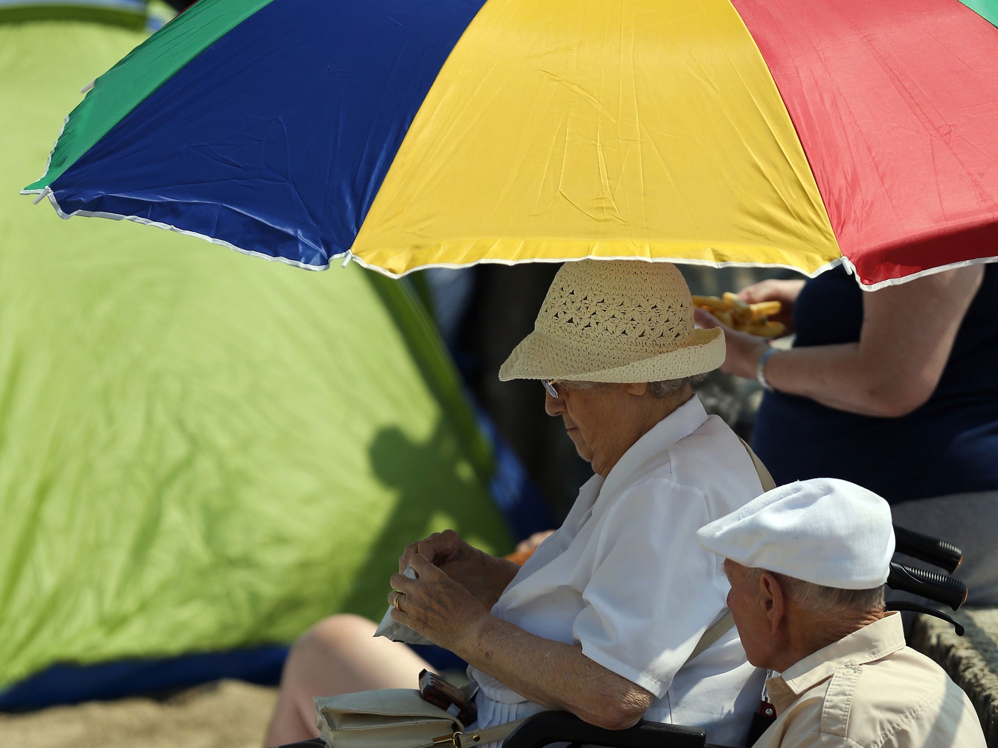
Time to put away the sunloungers: Heavy rain follows heatwave
But forecasters said the hot weather was expected to return later this week

Your support helps us to tell the story
From reproductive rights to climate change to Big Tech, The Independent is on the ground when the story is developing. Whether it's investigating the financials of Elon Musk's pro-Trump PAC or producing our latest documentary, 'The A Word', which shines a light on the American women fighting for reproductive rights, we know how important it is to parse out the facts from the messaging.
At such a critical moment in US history, we need reporters on the ground. Your donation allows us to keep sending journalists to speak to both sides of the story.
The Independent is trusted by Americans across the entire political spectrum. And unlike many other quality news outlets, we choose not to lock Americans out of our reporting and analysis with paywalls. We believe quality journalism should be available to everyone, paid for by those who can afford it.
Your support makes all the difference.More heavy rain hit parts of the UK today as the recent heatwave began to seem a distant memory.
However forecasters said the hot weather was expected to return later this week, with temperatures up to 30C in the South East on Thursday.
Storms hit the South West this morning and were due to move north during the day.
Paul Knightley, a senior forecaster with MeteoGroup, the weather division of the Press Association, said: "There have been some nasty thunderstorms in the west country, around Bath and Bristol, and they are due to move on to the Midlands, North West, Northern Ireland and parts of Scotland."
A yellow warning of severe weather for rain in Northern Ireland was issued by the Met Office.
It said that heavy, slow moving and thundery showers were expected to develop this afternoon, bringing the risk of some torrential downpours, particularly across northern areas.
It warned the public to be aware of the potential for localised flooding, with standing water and spray on roads also possible.
The Environment Agency had two flood alerts in place in England and Wales, where people should be prepared for possible flooding, on a stretch of the River Trent in Derbyshire, and of the Lower River Eden in Cumbria.
Mr Knightley said: "Some areas will see heavy rain tomorrow, with temperatures a shade below what you would expect, but they will begin to rise on Wednesday, when it may reach 23 to 24C in the South East.
"We can expect Thursday to be very warm or hot, with temperatures up to 30C in the South East, 28 to 29 across the Midlands, and 25 to 27 in the north.
"Friday should still be very warm, and there will be a growing risk of showers and thunderstorms at the weekend."
PA
Join our commenting forum
Join thought-provoking conversations, follow other Independent readers and see their replies
Comments