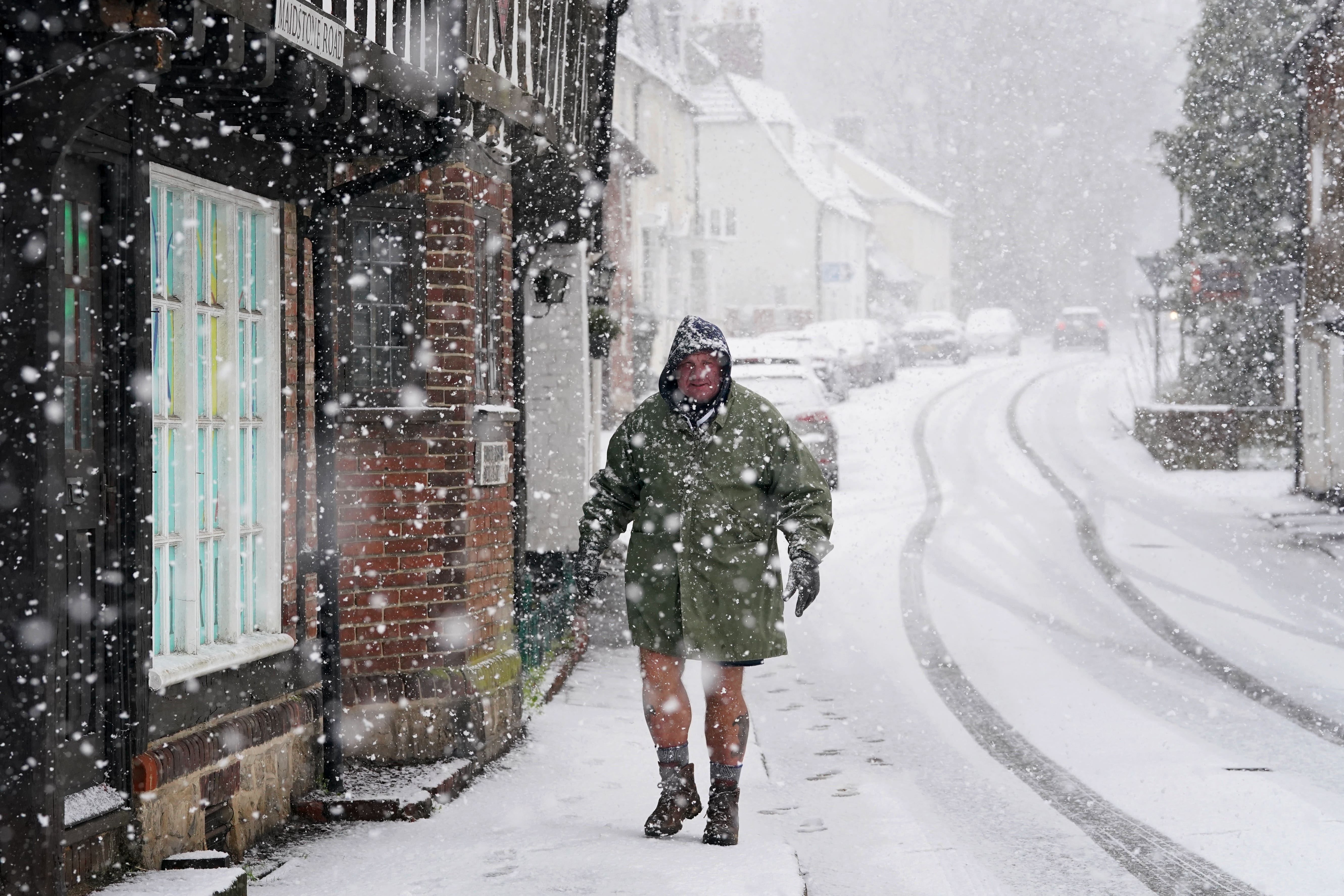
Arctic blast and more snow on its way as temperatures set to plummet
Drivers told to expect travel disruption as Met Office issues ice and snow warnings
Your support helps us to tell the story
From reproductive rights to climate change to Big Tech, The Independent is on the ground when the story is developing. Whether it's investigating the financials of Elon Musk's pro-Trump PAC or producing our latest documentary, 'The A Word', which shines a light on the American women fighting for reproductive rights, we know how important it is to parse out the facts from the messaging.
At such a critical moment in US history, we need reporters on the ground. Your donation allows us to keep sending journalists to speak to both sides of the story.
The Independent is trusted by Americans across the entire political spectrum. And unlike many other quality news outlets, we choose not to lock Americans out of our reporting and analysis with paywalls. We believe quality journalism should be available to everyone, paid for by those who can afford it.
Your support makes all the difference.Snow is forecast to fall across parts of the UK on Sunday as a blast of Arctic air hits the country, the Met Office says.
Ice and snow warnings are in place across northern Scotland, where motorists are warned to expect some travel disruption.
Forecasters say up to 5 centimetres of snow could fall in some places by the end of the day.
A separate warning for ice is in place for Northern Ireland on Monday, where “brisk northerly winds” will drive showers inland.
Cold air is forecast to remain firmly in place over the UK through the middle of the week, increasing the chance of snow, the Met Office says.
The weather service says that on Tuesday there is the potential for areas of snow to move inland over parts of Northern Ireland, southern Scotland and northern England.
Snow could then spread to southern parts of the UK on Wednesday.
“There are a couple of weather systems for Tuesday and Wednesday which we are keeping an eye on that bring the potential for disruptive snow for some regions,” Chris Bulmer, Met Office deputy chief meteorologist, said.
“Any weather systems that move across the country next week will bring mainly snowfall inland.
“Models are currently showing us a variety of options for both systems and we’ll be able to add more details to in the coming days.”
The mercury dipped to -10.4C in Aviemore, near Inverness, on Wednesday and temperatures are forecast to struggle to get above 0C across much of the country this week.
Highs of 3C are forecast for Glasgow, 4C in Manchester and 7C in London. South Wales is expected to be the warmest part of the country, with highs of 8C in the Cardiff region.

Temperatures will then fall to -1C or -2C in most urban areas overnight on Monday.
On Thursday and Friday, forecasters say it will remain “very cold” with the potential for severe overnight frost.
Northerly winds will bring snow showers inland at times, remaining most frequent across northern Scotland.
Inland areas will be mainly dry with a good deal of clear or sunny weather.
Towards the end of the week, it’s likely there will likely be a transition back to less cold conditions as Atlantic weather systems start to arrive from the west.
This will see a return to unsettled conditions with spells of rain and strong winds across all areas at times, forecasters say.
While the conditions should gradually turn milder, this transition brings the chance of further spells of snow.

Join our commenting forum
Join thought-provoking conversations, follow other Independent readers and see their replies
Comments