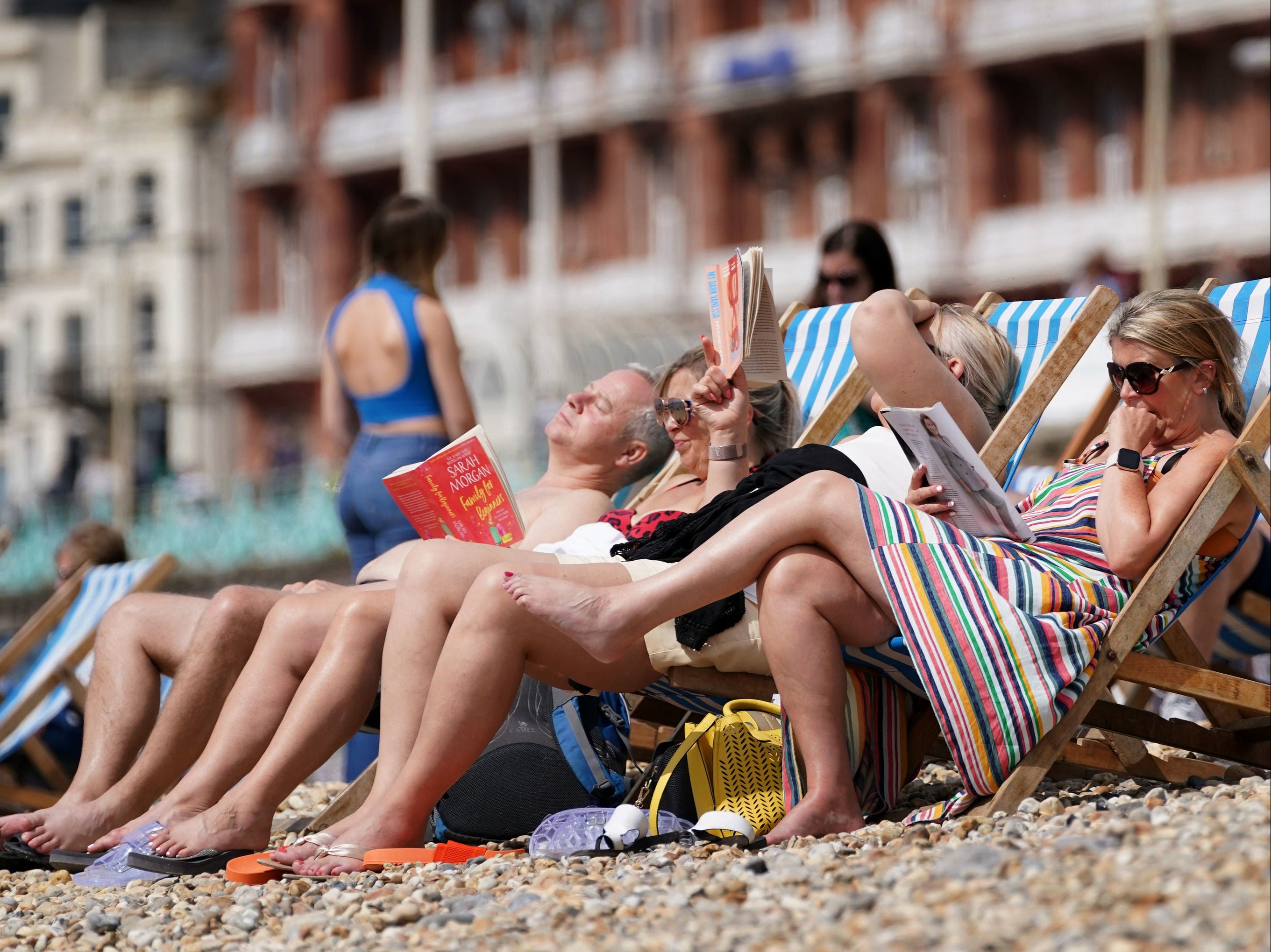
UK weather forecast: ‘Mini heatwave’ could see temperatures soar to 28C next week
September to get off to a warm start before conditions turn autumnal

Your support helps us to tell the story
From reproductive rights to climate change to Big Tech, The Independent is on the ground when the story is developing. Whether it's investigating the financials of Elon Musk's pro-Trump PAC or producing our latest documentary, 'The A Word', which shines a light on the American women fighting for reproductive rights, we know how important it is to parse out the facts from the messaging.
At such a critical moment in US history, we need reporters on the ground. Your donation allows us to keep sending journalists to speak to both sides of the story.
The Independent is trusted by Americans across the entire political spectrum. And unlike many other quality news outlets, we choose not to lock Americans out of our reporting and analysis with paywalls. We believe quality journalism should be available to everyone, paid for by those who can afford it.
Your support makes all the difference.The UK could see a “mini heatwave” next week in the fallout from tropical storm Ida.
September will get off to a warm start, with temperatures up to 28C predicted for early next week.
But forecasters have warned the balmy weather could also bring thunderstorms as the remnants of Hurricane Ida draw up a lot of warmth and rain, before conditions turn more autumnal for the rest of the month.
Many places will enjoy cloudy but dry weather over the weekend, although there could be isolated showers in the far south on Sunday and outbreaks of rain in Scotland and Northern Ireland.
Temperatures will be in the low to mid-20s in most parts, with highs of 24C predicted for both days.
The mercury will begin to climb from Monday, when there will be plenty of sunny spells around.
Forecasters are predicting a maximum temperature of 26C in the southeast and low 20s elsewhere for the start of the working week.
Met Office spokesman Stephen Dixon said Tuesday is when it will start to get a bit warmer as most places enjoy warm, sunny spells.
He told The Independent: “Tuesday is where we are likely to see the best of the heat with highs of 28C in the southeast, 27C in Nottingham, 23C in South Wales and 24C Aberdeen.
“That theme continues until Wednesday, when there will be a 28C high in Bristol, 27C in London, Manchester and Birmingham, and mid-20s in Scotland, although Glasgow could see 26C.
“Late on Wednesday there’s a risk of some thundery rain moving into the southwest later in the day, but beyond that it will largely be a fine dry day.”
The hot spell of weather would have to see a daily maximum temperature reached consistently for three days in a row before it is classed as a heatwave.
This threshold varies across different parts of the UK, with a maximum temperature of 28C set for London, 27C for the Midlands, East Anglia and the home counties, 26C in Lincolnshire across to Cheshire and down to Dorset, and 25C in Scotland, Northern Ireland, Wales and most of northern and southwest England.
The warm start to September isn’t likely to last long, as conditions are expected to become more autumnal as the month progresses.
“There is a signal towards the end of next week of some more unsettled conditions bringing some more widespread rain,” said Mr Dixon.
“The conditions for the middle towards the end of September are for that autumnal trend to continue with some unsettled spells of weather and some showery rain although there is a trend towards the end of September for some more settled weather, particularly in the south.
“Temperatures throughout that period are likely to be around average.”
Join our commenting forum
Join thought-provoking conversations, follow other Independent readers and see their replies
Comments