Just to cheer you up, stand by for the big freeze

Get the free Morning Headlines email for news from our reporters across the world
Sign up to our free Morning Headlines email
After the month-long battering by gales and storms that made November the wettest in Britain on record, the prospect of wintry relief was held up by meteorologists today with a forecast of up to a fortnight of icy but much drier weather.
The arrival of freezing Scandinavian air to replace the succession of Atlantic depressions which have soaked the British Isles since mid-October prompted bookmakers to shorten the odds on a white Christmas.
The Met Office said that a block of high pressure over continental Europe would move to cover Britain in the coming days, sucking down cold air and blocking the wet Atlantic weather systems. The shift will allow water levels in rivers to finally subside after the devastating flooding in Cumbria and other parts of the country.
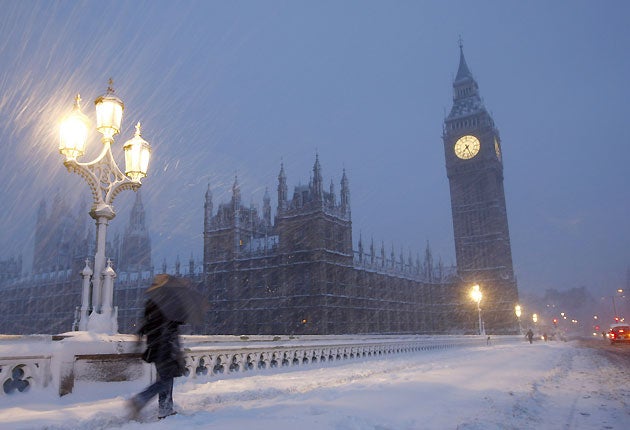
But the dry conditions will also be accompanied by a sharp plunge in temperatures, with the mercury likely to drop to minus 3C in the Midlands tomorrow night with a widespread frost and reach as low as minus 6C or 7C by the weekend in northern England and Scotland. The icy blast means that snow showers are possible on the east coast by the middle of next week.
Helen Chivers, MetOffice forecaster, said: “I think the main message is that it will at least be a lot drier for the next few days. It will also be somewhat colder and by next week we could see sleet or snow on higher ground on the eastern side of the country.”
The wintry conditions will provide a respite from a particularly soggy but warm autumn. MetOffice data shows that temperatures were 1.2C above normal, making it the sixth-mildest autumn for a century. It was also the seventh warmest November in parts of England since records began in 1659.
But it was the rainfall readings which made the last month truly stand out in meteorological records. Britain received 184 per cent more than its normal rain for November with an average of 217.4mm falling across the country. That comfortably exceeded the previous wettest November in 1951, when 193.6mm fell.
Unsurprisingly, Cumbria was the wettest part of the country last month with 621.4mm.
The more stable and colder conditions, which also will bring an increased risk of mist and fog, are predicted to last anywhere between a few days and a fortnight, meaning they could stretch into Christmas week.
Forecasters said snow was only likely around Christmas if the frosty weather system met a belt of wet air from the Atlantic and there was no sign of such a combination.
Rob McElwee, senior MetOffice forecaster, said: “As usual there is no strong probability of either wet or white for Christmas week. Indications are for below average temperatures, but for most at least an average amount of rain.
“If a cold southeasterly wind met Atlantic rain over us then you have the pretty white scenario. Sadly, there is no reason to forecast this at the moment.”
The rigours of meteorology did not prevent bookmakers from tightening the odds on a snowy Christmas Day.
Ladbrokes said it was now offering 4/1 on a white Christmas in London and 2/1 in Aberdeen.
Subscribe to Independent Premium to bookmark this article
Want to bookmark your favourite articles and stories to read or reference later? Start your Independent Premium subscription today.
Join our commenting forum
Join thought-provoking conversations, follow other Independent readers and see their replies