Hurricane Gonzalo hits the UK: When will it arrive and how strong will the storm be?
The storm is moving across the Atlantic after battering Bermuda

Your support helps us to tell the story
From reproductive rights to climate change to Big Tech, The Independent is on the ground when the story is developing. Whether it's investigating the financials of Elon Musk's pro-Trump PAC or producing our latest documentary, 'The A Word', which shines a light on the American women fighting for reproductive rights, we know how important it is to parse out the facts from the messaging.
At such a critical moment in US history, we need reporters on the ground. Your donation allows us to keep sending journalists to speak to both sides of the story.
The Independent is trusted by Americans across the entire political spectrum. And unlike many other quality news outlets, we choose not to lock Americans out of our reporting and analysis with paywalls. We believe quality journalism should be available to everyone, paid for by those who can afford it.
Your support makes all the difference.The remains of Hurricane Gonzalo will hit the UK tonight, bringing gales and torrential rain lasting into Tuesday for much of the country.
Forecasters at the Met Office have issued a yellow warning for Tuesday, predicting travel disruption as gusts of 50mph bring tree branches down and surface water floods roads.
The highest winds, up to 70 mph, are expected at the coast on Tuesday but will fade into Wednesday.
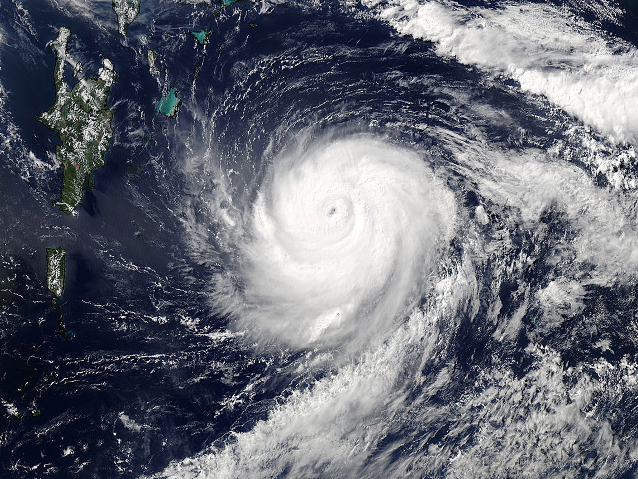
Gonzalo is rolling in from the Atlantic, where it has caused flooding and widespread damage in Bermuda.
When will it hit?
The storm will arrive in Britain on Monday night, when the wet and windy conditions will sweep eastwards across Northern Ireland, Wales, the Midlands, northern England and Scotland.
How bad will it be?
Gonzalo is no longer a hurricane, having weakened during its journey across the Atlantic, but is still capable of doing damage.
A spokesperson for the Met Office said: “Some uncertainty remains in the track and intensity, but there remains the potential for localised disruption to travel, especially as the strongest winds will coincide with rush hour in places.
“Fallen leaves impeding drainage increases the risk of surface water affecting roads, while some damage to trees is possible, given that many are still in full leaf.”
How strong is it?
Gusts exceeding 50 mph are likely inland, with 60 to 70 mph gusts in exposed coastal areas in the west and north.
Sustained winds will be closer to 25 mph – enough to bring down tree branches and blow over bins and light objects.
At the height of its strength as a Category 4 major hurricane, top wind speeds of 145 mph were recorded in Gonzalo.
Where has it come from?
Gonzalo formed east of the Caribbean Sea on 12 October, strengthening as it passed through the Leeward Islands.
It largely missed land in its path over the Atlantic but caused damage in Antigua and Saint Martin, where one person died, and affected Puerto Rico and the Virgin Islands.
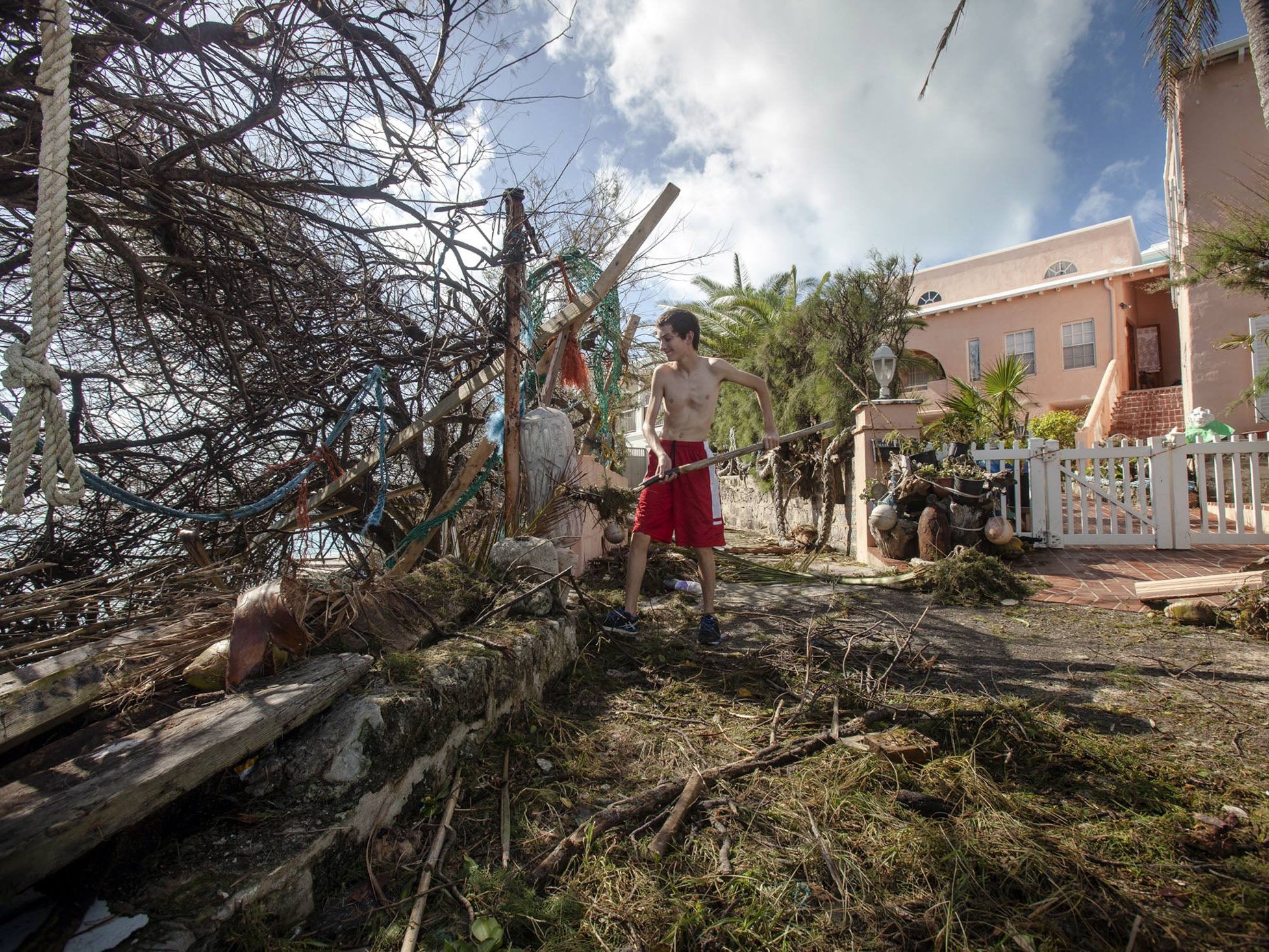
The worst damage was seen in Bermuda, where it made landfall on Saturday at Category 2 strength with winds of up to 110 mph.
Did it do much damage?
Bermuda was prepared for Gonzalo following more than a week of warnings and businesses, schools and government offices closed to keep people at home and minimise casualties.

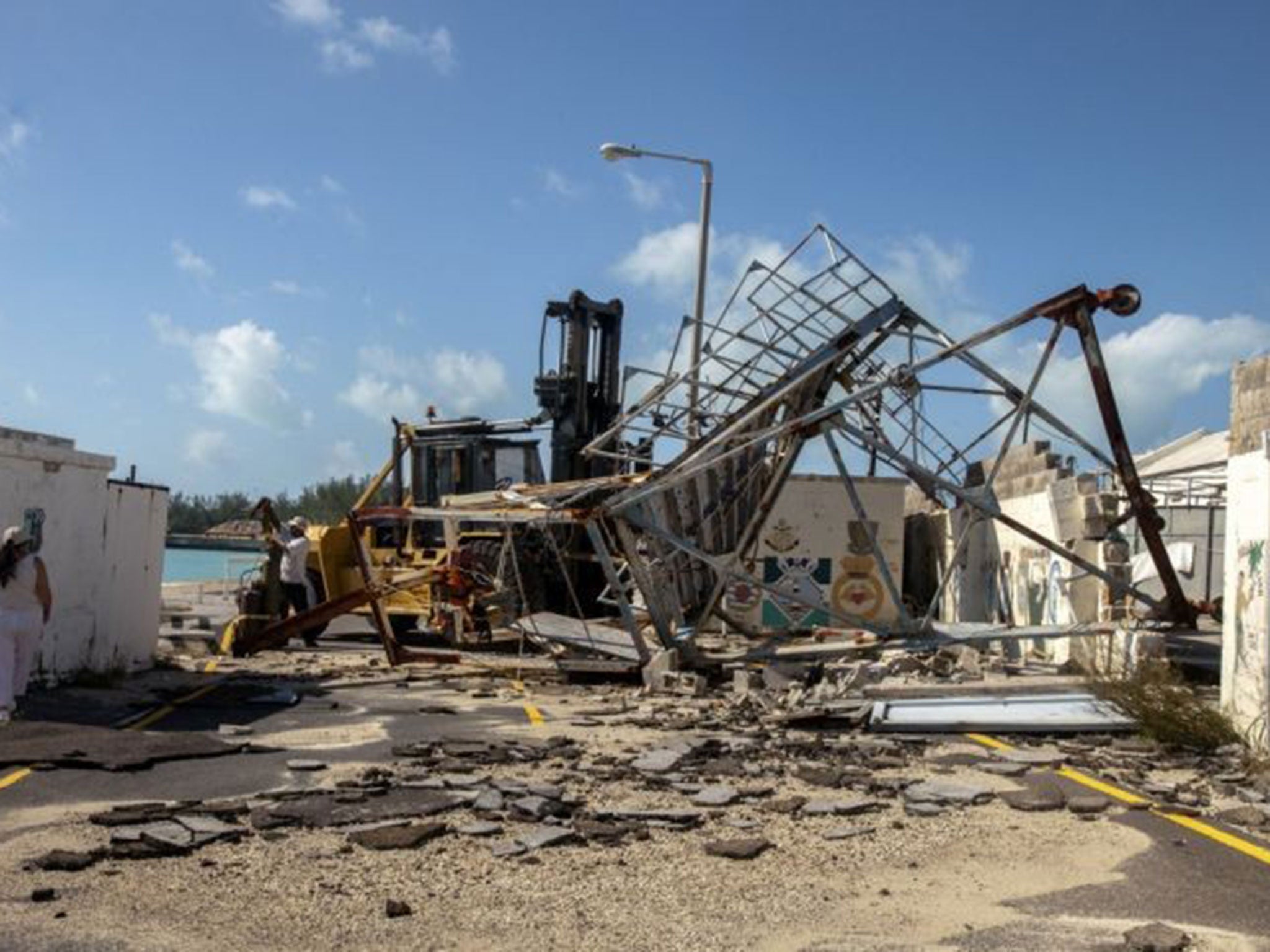
Only minor injuries were reported but the storm caused power cuts to 31,000 homes and caused flooding, felled trees and damaged buildings.
Royal Navy frigate HMS Argyll has arrived at the tiny British territory to assist in the relief effort.
Is it still a hurricane?
No – by the time Gonzalo crosses the Atlantic it will be a very different system to the hurricane that affected Bermuda.
It has undergone what meteorologists call “extra-tropical transition”, which means it loses the warm core typical of a tropical cyclone and becomes a much more standard Atlantic low pressure system – like we regularly see in the UK at this time of year.
What caused it?
Gonzalo formed from a tropical wave in the Caribbean on 12 October, which causes bad weather and thunderstorms along a line of low pressure.

Tropical cyclones form over warm ocean waters in the summer and early autumn, when low pressure causes wind to spiral inwards and form an intense storm front with high winds and heavy rain.
For a cyclone to be declared a hurricane, the maximum sustained winds need to top 74 mph, or 111 mph for a “major hurricane”.
Subscribe to Independent Premium to bookmark this article
Want to bookmark your favourite articles and stories to read or reference later? Start your Independent Premium subscription today.
Join our commenting forum
Join thought-provoking conversations, follow other Independent readers and see their replies
Comments