UK weather: Flood warnings mapped as two months’ worth of rain in two days causes havoc in parts of country
Despite the end of heavy rain, many areas across England face the prospect of flooding amid warnings from the Environment Agency
Your support helps us to tell the story
From reproductive rights to climate change to Big Tech, The Independent is on the ground when the story is developing. Whether it's investigating the financials of Elon Musk's pro-Trump PAC or producing our latest documentary, 'The A Word', which shines a light on the American women fighting for reproductive rights, we know how important it is to parse out the facts from the messaging.
At such a critical moment in US history, we need reporters on the ground. Your donation allows us to keep sending journalists to speak to both sides of the story.
The Independent is trusted by Americans across the entire political spectrum. And unlike many other quality news outlets, we choose not to lock Americans out of our reporting and analysis with paywalls. We believe quality journalism should be available to everyone, paid for by those who can afford it.
Your support makes all the difference.More than 100 flood alerts and warnings are in force across England after as much as two months’ worth of rainfall fell in just two days, causing havoc across the country.
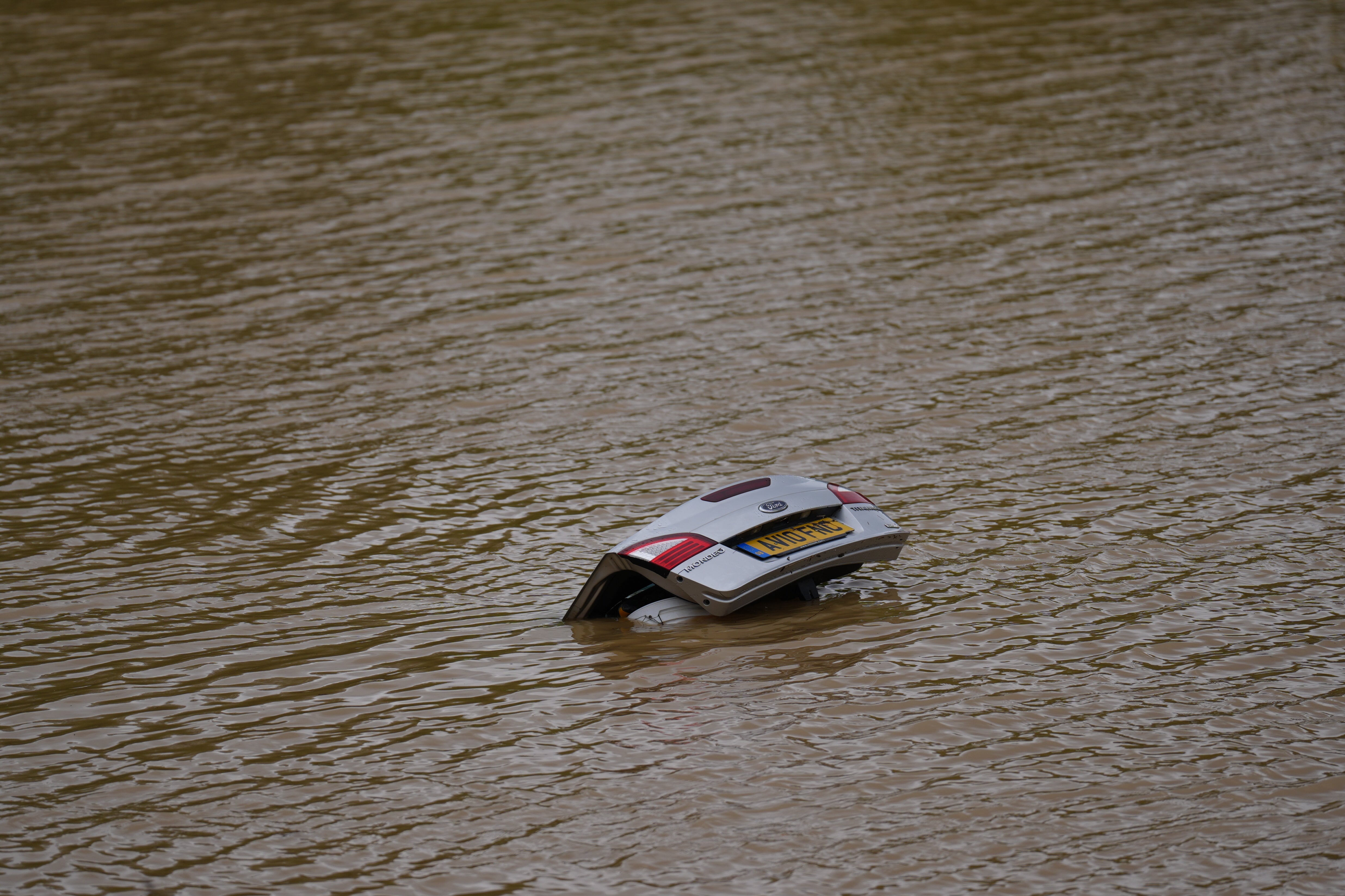
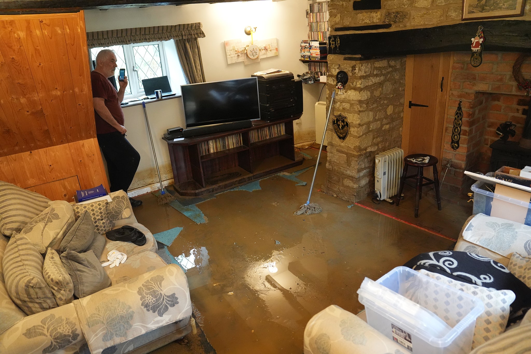
Roads and homes were submerged, leaving cars underwater and forcing school closures on Monday after the deluge hit, flooding dozens of properties.
The Met Office’s warnings for heavy rain came to an end on Monday night - but on Tuesday morning, commuters were still facing road closures and disrupted rail services.
And as of 10am, the Environment Agency had issued 30 warnings that “flooding is expected”, in addition to alerts in a further 86 at-risk areas.

The flood warnings were largely clustered in southern England, stretching from the River Sheppey, close to Bristol in the southwest, to the River Anker, just north of Coventry.
The lesser flood alerts were more widespread, with some affecting parts of Sussex, Kent, Greater London, and reaching as far north as the River Trent near Lincoln.


Despite the Met Office forecasting a relative respite from the heavy downpours of recent days, National Highways also said it expected parts of the A421 in Bedfordshire to remain closed due to severe flooding and “cannot provide a timeline for the road to reopen”.
And the northbound A5 between the A421 in Bletchley and Great Holm at Milton Keynes was closed by rising water levels on Tuesday morning, after one lane had been opened overnight.
Train services are also affected, as flooding between Rugby and Milton Keynes central is disrupting Avanti West Coast and London Northwestern Railway until 10am, according to National Rail.
London Northwestern Railway said its Marston Vale line, which operates services between Bedford and Bletchley, would be suspended until next Monday. And Chiltern Railways said trains between Banbury and Bicester North were running at reduced speed on all lines.
The National Grid said it had seen a week’s worth of power cuts across the weekend.


Drier but noticeably cooler conditions are forecast widely on Tuesday with Scotland and northern England still seeing some isolated heavy showers with a chance of thunder, according to the Met Office which said further weather warnings are “unlikely”.
Maximum temperatures are expected to rise no higher than the mid-teens.
Meteorologist Liam Eslick said: “There may be odd, heavier bursts just clipping the South East as a system does slowly start to move away, but it’s a much drier day for most people.
“There are going to be some isolated showers here and there, but they’re going to be very light, nothing like the torrential rain that we’ve seen over the last couple of days.”
River levels should start to decrease to more manageable levels elsewhere towards the end of the day as more water seeps into the ground.
Additional reporting by PA

Join our commenting forum
Join thought-provoking conversations, follow other Independent readers and see their replies
Comments