Up to 70mm of rain forecast for parts of UK as yellow weather warning issued
The warning, which will last until 1pm, stretches from Portsmouth, Hampshire, up to Ipswich in Suffolk.
Your support helps us to tell the story
From reproductive rights to climate change to Big Tech, The Independent is on the ground when the story is developing. Whether it's investigating the financials of Elon Musk's pro-Trump PAC or producing our latest documentary, 'The A Word', which shines a light on the American women fighting for reproductive rights, we know how important it is to parse out the facts from the messaging.
At such a critical moment in US history, we need reporters on the ground. Your donation allows us to keep sending journalists to speak to both sides of the story.
The Independent is trusted by Americans across the entire political spectrum. And unlike many other quality news outlets, we choose not to lock Americans out of our reporting and analysis with paywalls. We believe quality journalism should be available to everyone, paid for by those who can afford it.
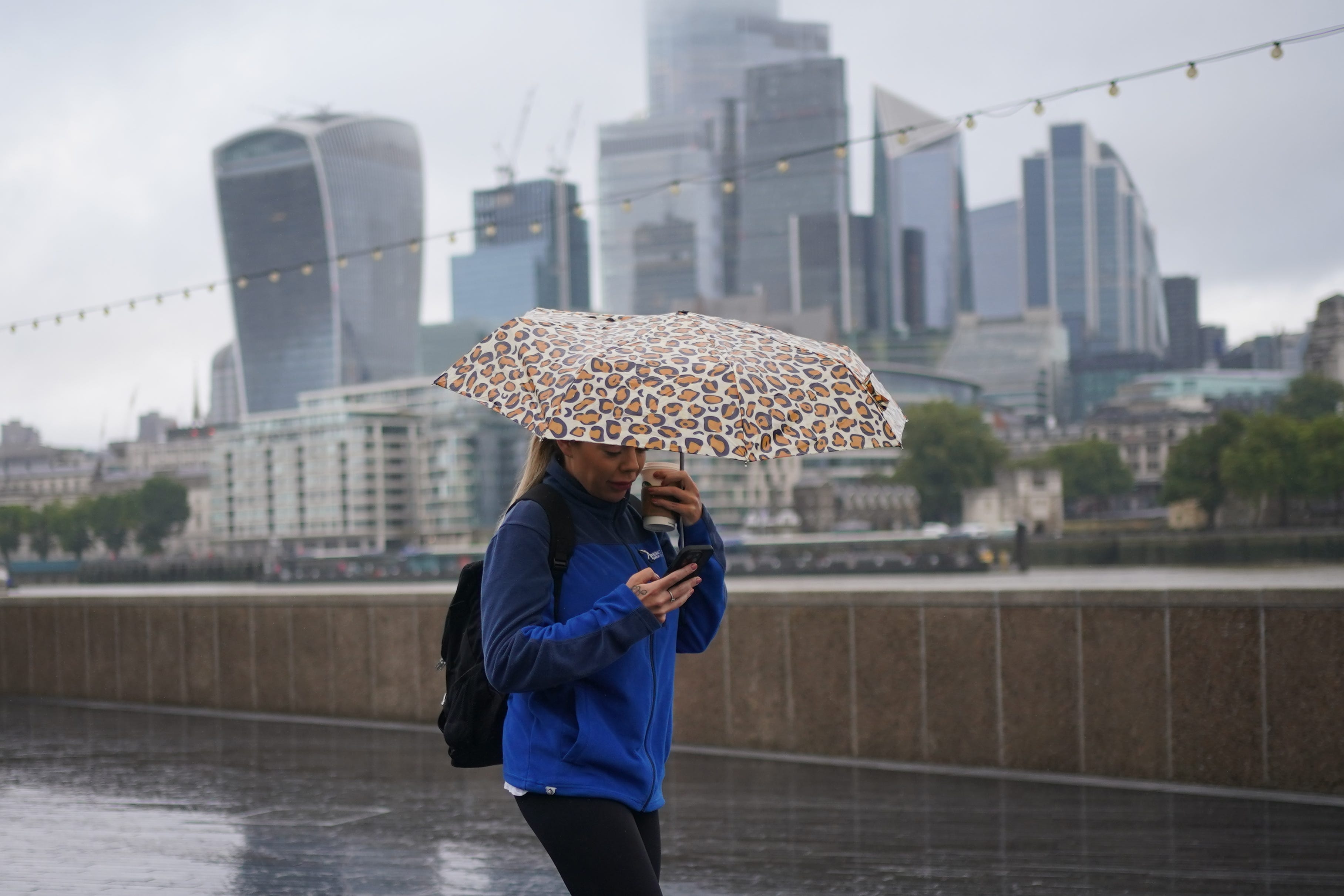
Your support makes all the difference.Some parts of the UK could see between 50mm and 70mm of rain on Saturday, with the Met Office issuing a yellow weather warning for much of the south east of England.
The warning, which came into force at 6am and lasts until 1pm, stretches from Portsmouth, Hampshire, up to Ipswich in Suffolk.
It follows widespread travel disruption caused by Storm Lilian on Friday.
With that yellow warning, expect some small travel disruption
The warning comes ahead of what could be the busiest August bank holiday on the roads on record.
The RAC estimates 19.2 million leisure trips by car will be made over the weekend, with 3.2 million on Friday alone.
This is the highest since the motoring services company began recording data for the summer bank holiday in 2015.
Liam Eslick, a meteorologist at the Met Office, told the PA news agency: “With that yellow warning, expect some small travel disruption.
“I know it’s the start of the bank holiday so people may be out and about trying to get to their holiday destinations.
“We do say take care when driving on roads, stick to the main roads where you can because more local tracks could see some surface water.
“So do take care when travelling around through Saturday morning.”
The heaviest of the rain is expected to move away around mid-afternoon, but showers will linger around central and south east England, as well as western Scotland.
A wind warning was in place across northern England and North Wales until 11am on Friday, with Storm Lilian bringing widespread travel disruption including delayed and cancelled flights.
“Winds aren’t expected to be too much of an issue on Saturday though,” said Mr Eslick.
“It’s mainly going to be the rain.
“Winds will be pretty light in the south of England, though you may get the odd gust around the very far South East through the English Channel.
“But mainland is going to be pretty light.”
It will be a lot calmer coming into the Bank Holiday Monday and it will be nice to have that extra day this weekend to enjoy
Moving into Sunday, conditions are expected to ease – though some showers are forecast in the east, Northern England and southern Scotland.
Winds will pick up once again and it will be blustery for much of the UK.
But, according to the Met Office, this will not be as strong as the winds on Friday morning.
Looking ahead to the Bank Holiday Monday, Mr Eslick said: “Monday looks like the best of the days.
“There will be more in the way of some sunshine and winds are expected to ease.
“It will be a lot calmer coming into the Bank Holiday Monday and it will be nice to have that extra day this weekend to enjoy.”