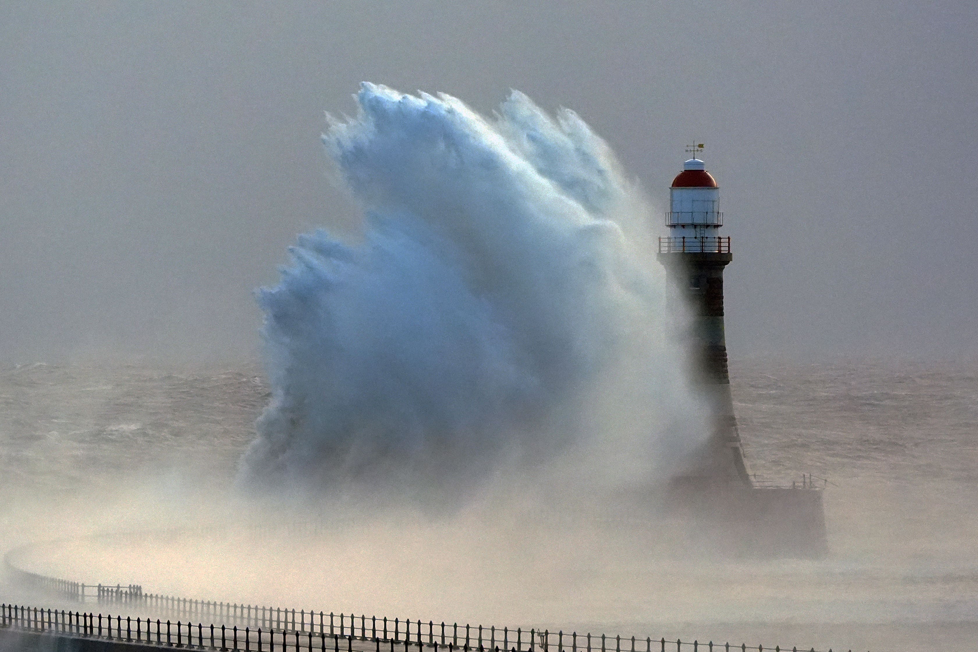
Ferries and trains disrupted as snow, wind and rain warnings in force
Almost every part of the country is covered by at least one of the multiple weather warnings that have been issued by the Met Office this week.

Your support helps us to tell the story
From reproductive rights to climate change to Big Tech, The Independent is on the ground when the story is developing. Whether it's investigating the financials of Elon Musk's pro-Trump PAC or producing our latest documentary, 'The A Word', which shines a light on the American women fighting for reproductive rights, we know how important it is to parse out the facts from the messaging.
At such a critical moment in US history, we need reporters on the ground. Your donation allows us to keep sending journalists to speak to both sides of the story.
The Independent is trusted by Americans across the entire political spectrum. And unlike many other quality news outlets, we choose not to lock Americans out of our reporting and analysis with paywalls. We believe quality journalism should be available to everyone, paid for by those who can afford it.
Your support makes all the difference.Ferries and trains have been disrupted as snow, rain and wind warnings are in force and are expected to cause further travel issues on New Year’s Eve.
Almost every part of the country is covered by at least one of the multiple weather warnings that have been issued by the Met Office between Monday and Wednesday.
Scotland is being hit first by “fairly persistent rain” and snow, with 50-70mm of rainfall expected widely, 100-140mm in some locations, and up to 20cm of snow in places, with a warning in place until midnight on New Year’s Eve, the forecaster said.
Ferry routes have already been disrupted in Scotland on Monday, while rail lines have been affected including the Highland Main Line at Kingussie.
And an amber warning has been issued for parts of Scotland between midnight and 5pm on New Year’s Eve, indicating that heavy rain is likely to cause property flooding and some travel disruption.
A yellow warning has been issued for “persistent snow” likely to cause road disruption in Orkney and Shetland from 5am until midnight on Tuesday.
Met Office spokesman Oli Claydon said: “There will be pretty severe weather from that rain over the next 48 hours.”
He also advised residents to check flood alerts on the Scottish Environment Protection Agency (Sepa) website.
Cordelia Menmuir, Sepa’s duty flood manager, said: “Extremely high water levels are expected in Speyside, the Great Glen and Tayside, resulting in disruptions to transport and to communities. It is possible we could see similar levels to those experienced in early October 2023, when places like Aviemore and Perth were severely affected.
“We’re likely to see extensive river and surface water flooding impacts across these areas. We’re already seeing impacts on the road and rail network, and further rain will only exacerbate this.
“We urge people living, working and visiting in the affected areas to consider any steps you need to take now to be prepared for flooding impacts. Consider whether your journey is necessary.”
Northern England has started to be battered by blustery conditions, which are set to include gusts of up to 60mph on Monday, according to the forecaster.
A weather warning is in place on Monday where strong winds could impact travellers until 6pm in areas including Durham, Northumberland, Cumbria and North Yorkshire.
On New Year’s Eve, delays to all types of transport are “likely” as strong winds persist and may reach speeds of up to 70mph in England and Northern Ireland, the forecaster warned.
An alert for wind is in place from 7am until 11pm on Tuesday and covers just north of York in England up to Glasgow, Edinburgh and Greenock, while the alert covering much of Northern Ireland is in force between 6am and 2pm.
Mr Claydon said the weather impacts will be varied across the UK, with “a wet and windy spell for many up into the new year”.
He added: “There’s already some travel disruption in Scotland because of the high totals they’re seeing, more broadly there could be disruption from strong wind and, in particular, where the wind and rain overlap.”
The new year will be off to a turbulent start with separate weather warnings in place for wind and rain on January 1.
Winds of up to 60mph are forecast across much of England and Wales all day on Wednesday, with gusts of 75mph likely around coastal areas and hills, according to the Met Office.
The warning for wind is in place from 7am until midnight on Wednesday and the rain warning covers Wales and north-west England between 6pm on New Year’s Eve and 6pm on Wednesday, with 30-50mm of rain expected widely, while a few locations could see more than 100mm.
Stefan Laeger, flood duty manager at the Environment Agency, said: “Heavy and persistent rain means river levels could be high across parts of the Midlands and the North of England on Tuesday, Wednesday and Thursday, when significant inland flooding is possible but not expected.
“Environment Agency teams will be out on the ground, taking action to reduce the impact of flooding and support those communities affected. We advise people to stay away from swollen rivers and urge people not to drive through flood water as just 30cm of flowing water is enough to move your car.”
The rest of the week will be chilly with widespread frost across the country predicted on Thursday night, the forecaster added.