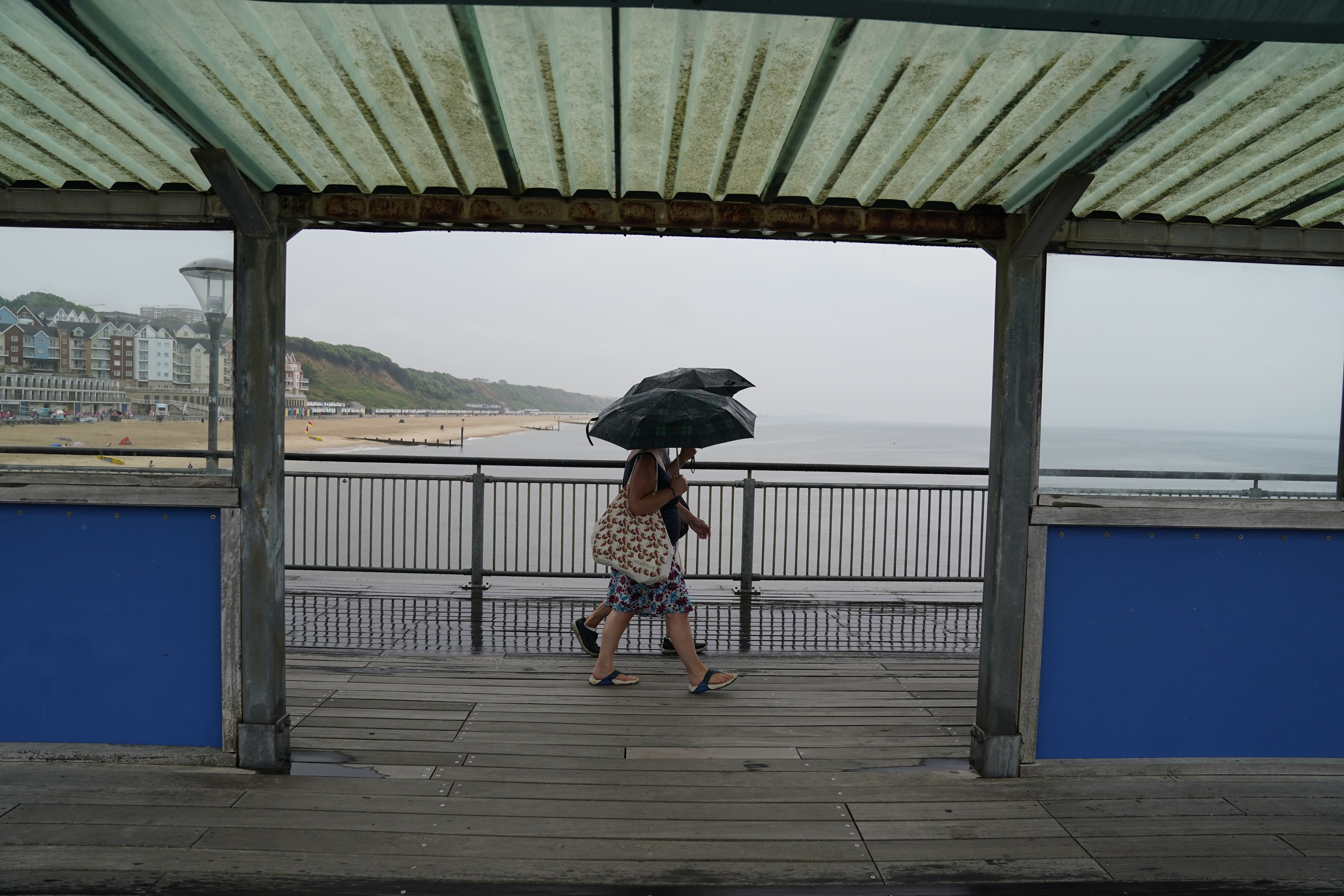
More than half a month’s worth of rain to batter parts of UK
A yellow thunderstorm warning almost entirely covers England and Wales between noon and midnight.

Your support helps us to tell the story
From reproductive rights to climate change to Big Tech, The Independent is on the ground when the story is developing. Whether it's investigating the financials of Elon Musk's pro-Trump PAC or producing our latest documentary, 'The A Word', which shines a light on the American women fighting for reproductive rights, we know how important it is to parse out the facts from the messaging.
At such a critical moment in US history, we need reporters on the ground. Your donation allows us to keep sending journalists to speak to both sides of the story.
The Independent is trusted by Americans across the entire political spectrum. And unlike many other quality news outlets, we choose not to lock Americans out of our reporting and analysis with paywalls. We believe quality journalism should be available to everyone, paid for by those who can afford it.
Your support makes all the difference.More than half a month’s worth of rain could fall in parts of the UK over the next 24 hours, along with thunder, lightning and possible flooding, forecasters have said.
Most of the country is blanketed with Met Office warnings for either rain or thunderstorms which will come into force from Sunday afternoon.
It comes after showers hit areas of England overnight – with 21.5mm in Ringley, near Manchester, and 18.6mm falling in Charlwood, Surrey.
With the heavy rain expected over the next 24 hours or so that could exacerbate some issues with flooding - but it has been very dry of late
Jonathan Vautrey, a Met Office forecaster, told the PA news agency: “Some places could see 40mm to 60mm of rain, even 80mm in some places, which is more than half a month’s worth of rainfall depending on where you are.
“That could cause some sudden flooding spray on roads which could cause some difficult travelling conditions over the next 24 hours.”
In June, the entire UK averages 12 days of rain, totalling 77mm.
A yellow thunderstorm warning almost entirely covers England and Wales between noon and midnight, and there is also one until 9pm in Northern Ireland.
It warns of heavy showers, the potential for frequent lightning, strong winds and hail – which could cause flooding, travel issues and power cuts.
In northern England and Scotland, a yellow heavy rain warning is in place from 7pm on Sunday until noon on Monday.
Mr Vautrey said: “Overnight some places had showers and heavy bursts of rain, particularly in north-west England and the south-east.
“There were a couple of thunderstorms and rainy patches that grazed western Scotland, with heavy rain in Northern Ireland.
“If you were in those pockets, you would have seen heavy outbursts.”
He added: “With the heavy rain expected over the next 24 hours or so that could exacerbate some issues with flooding – but it has been very dry of late.”
The Environment Agency had 14 flood alerts in place across the Midlands and northern England on Sunday morning, meaning flooding is possible.
There are generally moderate or high UV levels across the UK, despite there being more cloud, while grass and nettle pollen is also very strong, the Met Office said.
Temperatures will reach the low twenties – making the air feel humid – despite the UK being in an area of low pressure.