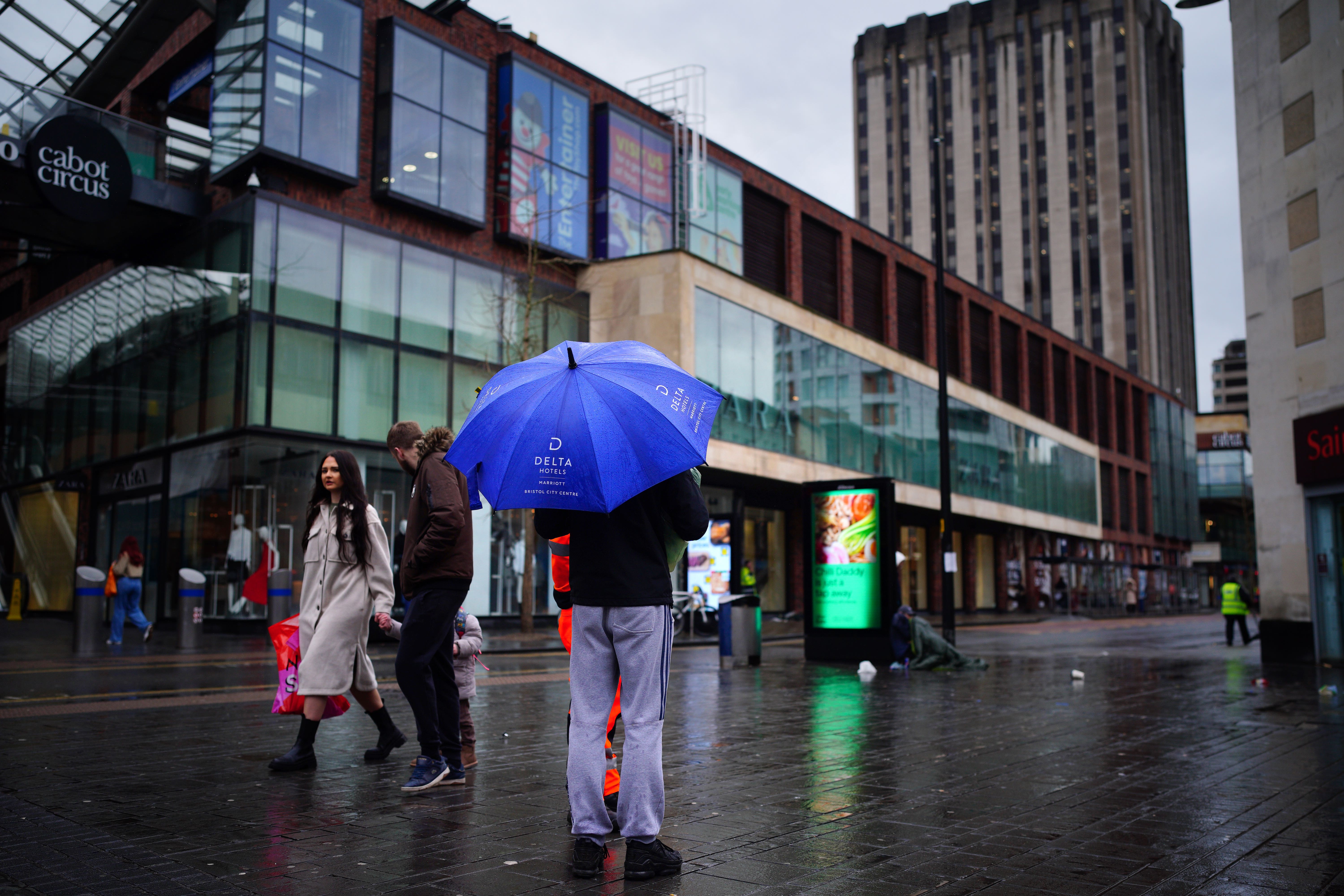
Heavy downpours on ‘saturated ground’ disrupt travel and close schools
The Met Office has issued four yellow weather warnings for heavy rain and high winds.

Your support helps us to tell the story
This election is still a dead heat, according to most polls. In a fight with such wafer-thin margins, we need reporters on the ground talking to the people Trump and Harris are courting. Your support allows us to keep sending journalists to the story.
The Independent is trusted by 27 million Americans from across the entire political spectrum every month. Unlike many other quality news outlets, we choose not to lock you out of our reporting and analysis with paywalls. But quality journalism must still be paid for.
Help us keep bring these critical stories to light. Your support makes all the difference.
Heavy rain falling on already “saturated ground” has flooded roads and railway lines across England and Wales, causing school closures and travel disruption.
The Met Office has issued three yellow weather warnings for rain covering most of southern, south-western, central and eastern England as well as parts of South Wales.
A yellow warning for wind is also in place for London and southern England, with gusts predicted to reach 60 to 70mph.
The Environment Agency (EA) has issued 64 flood warnings, meaning flooding is expected, and 239 flood alerts in England. National Resources Wales has issued a flood warning and 36 flood alerts.
In Herefordshire and Worcestershire several schools have closed because of rising flood levels and “treacherous road conditions”, councils said.
Many roads across the West Midlands in particular have been submerged and rail operators have been working to resolve issues on the tracks.
Transport for Wales and West Midlands Railway services are operating a replacement bus service between Shrewsbury and Wolverhampton.
CrossCountry services between Birmingham New Street and Cheltenham Spa have reopened after earlier flooding, though trains may still be cancelled or delayed. The route between Worcester Foregate St and Hereford has also been affected.
Great Western Railway (GWR) said flooding had disrupted services between Plymouth and Newton Abbot, with CrossCountry trains from Penzance also affected.
The Met Office’s shipping forecast has issued 20 gale warnings for sea areas including Viking, Plymouth, Thames, Wight and Dover.
Red Funnel Ferries has said that high winds could cause disruption to its service between Southampton and West Cowes today, while WightLink ferry journeys between Portsmouth and Fishbourne have either been cancelled or pushed back by four hours.
In Cornwall, St Mawes Ferry, which links St Mawes with Falmouth, has been cancelled because of “adverse sea conditions and strong winds”, while the ferry between Flushing and Falmouth is “not running today due to the strong winds”.
The Environment Agency has also issued 45 red cautions for strong streams, advising users of all boats not to navigate.
Grahame Madge, a Met Office spokesman, said: “The current forecast contains a typical mix of winter weather, including strong winds and heavy rain.
“In themselves these conditions aren’t exceptional, but following on from significant amounts of rainfall across February, then the cumulative effect means that river catchments are more sensitive to additional rainfall.
“During these warning periods we urge people to follow sensible advice and keep up to date with the warnings and the forecast.”
A yellow warning is in place for the West Midlands, South Wales and south-west England, with some areas forecast to receive 20-30mm of rain, according to the Met Office.
It comes as 12-hour rainfall totals on Wednesday reached 68mm in Whitebarrow on Dartmoor and 63mm at Coniston Coppermines, Cumbria.
A band of rain is forecast to move east across England during Thursday, before clearing eastern England by early evening.
The Met Office has issued a yellow warning for rain covering the East Midlands, east of England, London and south-east England, the South West and West Midlands until 6pm, with 30-40mm rainfall expected.
Met Office chief meteorologist Paul Gundersen said on Wednesday: “This is falling on saturated ground, which elevates the chances of flooding and disruption.”
Subscribe to Independent Premium to bookmark this article
Want to bookmark your favourite articles and stories to read or reference later? Start your Independent Premium subscription today.