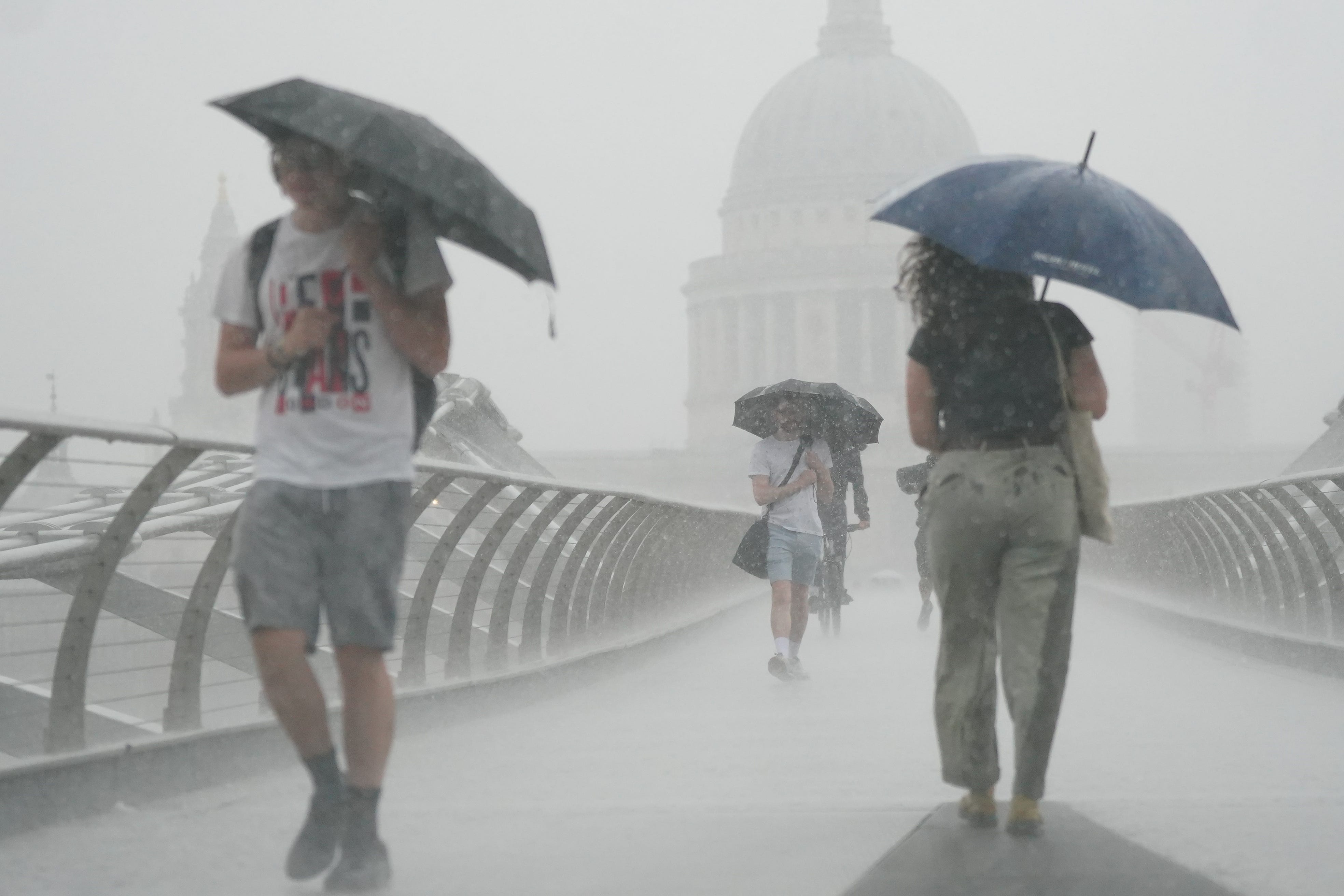
Southern England braces for flash flooding after thunderstorm warning
A yellow warning has been put in place for thunder for much of southern and eastern England until 2am on Monday.

Your support helps us to tell the story
From reproductive rights to climate change to Big Tech, The Independent is on the ground when the story is developing. Whether it's investigating the financials of Elon Musk's pro-Trump PAC or producing our latest documentary, 'The A Word', which shines a light on the American women fighting for reproductive rights, we know how important it is to parse out the facts from the messaging.
At such a critical moment in US history, we need reporters on the ground. Your donation allows us to keep sending journalists to speak to both sides of the story.
The Independent is trusted by Americans across the entire political spectrum. And unlike many other quality news outlets, we choose not to lock Americans out of our reporting and analysis with paywalls. We believe quality journalism should be available to everyone, paid for by those who can afford it.
Your support makes all the difference.Heavy rain for much of southern England could lead to flash flooding, leaving businesses and homes at risk of damage, forecasters have warned.
A yellow warning has been put in place for thunder for much of southern and eastern England, including Bath, Brighton, Norwich and London, until 2am on Monday.
A warning on the Met Office’s website states: “There is a small chance that homes and businesses could be flooded quickly, with damage to some buildings from floodwater, lightning strikes, hail or strong winds.”
The warning adds that transport could also be affected, including potential road closures and train cancellations.
Met Office meteorologist Alex Burkill warned that England still has some heavy thunderstorms to come this weekend.
“We still have some heavy thunderstorms to come as you go through the next 15 hours or so,” he said.
He added that storms could lead to 20 to 30 millimetres of rainfall in one hour, causing flash flooding.
He said: “It is because of the risk of some heavy thunderstorms coming through, talk of 20 to 30 millimetres perhaps in just an hour, and for some 40 to 60 (millimetres) in two to three hours.
“So, whilst the totals won’t be that high, we’re talking flash flooding, surface water flooding, just because of intense rates in a short period of time.”
However, people could see some sunny spells next week once the storms are out of the way.
Mr Burkill said: “The theme through the next few days through this week is temperatures rising.
“So, with that in mind, by the middle of the week, we could be in the low 20s in some places, possibly 21, but probably only 20.”
He added that the only concern could be some further heavy rain on Tuesday night.
“The only slight cause for concern is a system that comes through Tuesday night into Wednesday,” he said.
“That could bring some heavy rain, particularly for western parts.”
On Sunday, National Rail reported disruption caused by heavy flooding on train routes between Stourbridge Junction and Birmingham Snow Hill, and Stoke-On-Trent and Macclesfield.
There were also reports on social media of flooded roads in Lincolnshire.