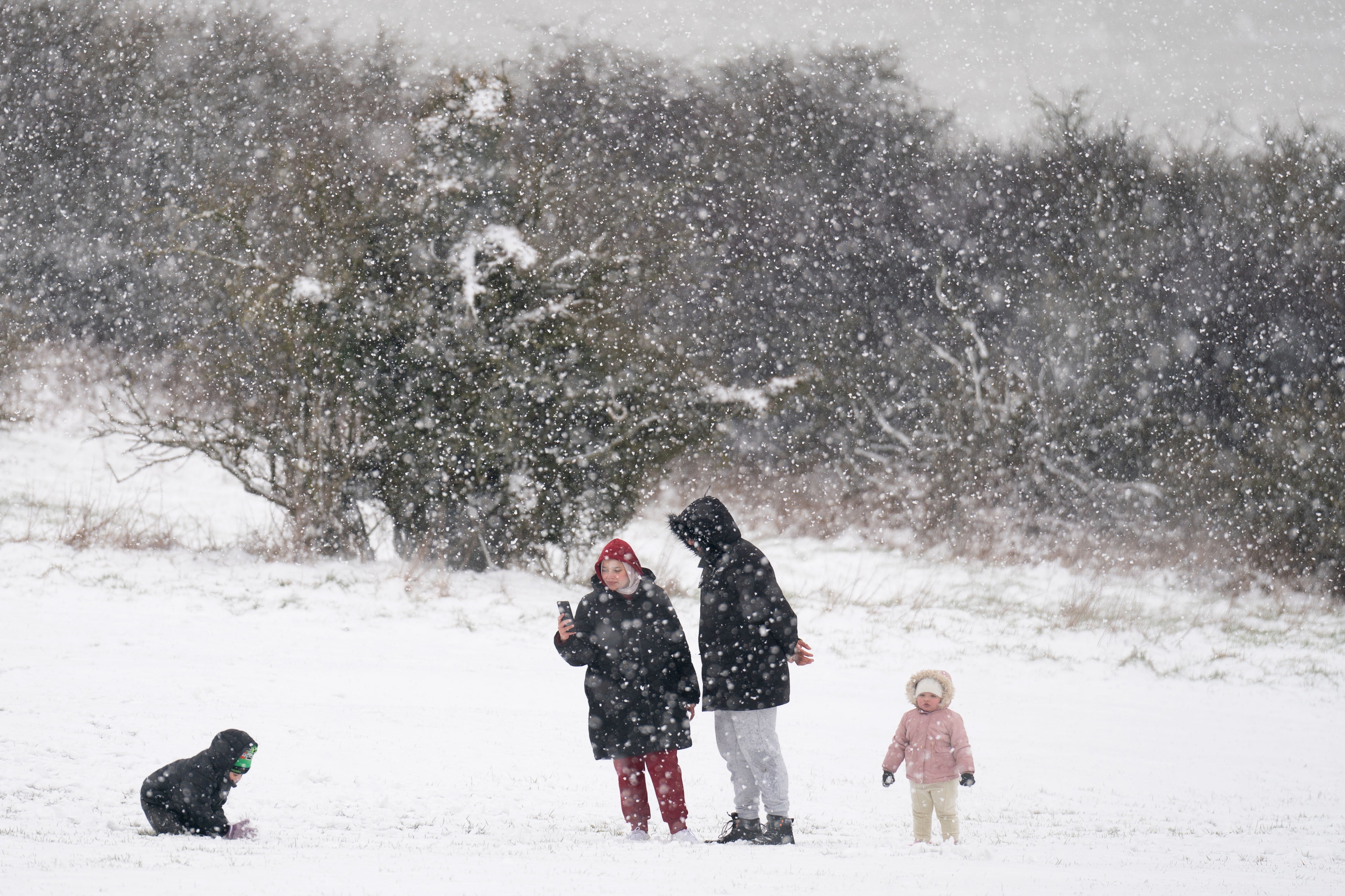
Blizzards and deep snow to hit north and central England amid amber warning
The Met Office has said snowstorms are expected in the region, while sleet and rain are forecast for much of the rest of the UK.

Your support helps us to tell the story
From reproductive rights to climate change to Big Tech, The Independent is on the ground when the story is developing. Whether it's investigating the financials of Elon Musk's pro-Trump PAC or producing our latest documentary, 'The A Word', which shines a light on the American women fighting for reproductive rights, we know how important it is to parse out the facts from the messaging.
At such a critical moment in US history, we need reporters on the ground. Your donation allows us to keep sending journalists to speak to both sides of the story.
The Independent is trusted by Americans across the entire political spectrum. And unlike many other quality news outlets, we choose not to lock Americans out of our reporting and analysis with paywalls. We believe quality journalism should be available to everyone, paid for by those who can afford it.
Your support makes all the difference.Snowstorms are due to affect large parts of England on Thursday, while sleet and rain batter much of the rest of the UK.
The Met Office has issued an amber warning for “strong winds bringing blizzard conditions” and up to 16in (40cm) of snow for an area stretching from Stoke-on-Trent to Durham.
The alert, which warns of likely “significant disruption” to transport, power lines and phone network coverage, lasts for 21 hours from 3pm on Thursday and covers major cities including Liverpool, Sheffield, Bradford and Leeds.
Daytime temperatures in the low single figures and sub-zero temperatures overnight are predicted for much of the UK, with slightly warmer conditions in the south.
A yellow warning for “heavy snow” also covers a large area between Glasgow and Birmingham until 2pm on Friday, while a second yellow warning for snow and ice is in place over the Scottish Isles until 10am on Thursday.
The Environment Agency has issued five alerts for locations on the south coast of England, and for residents between Putney Bridge and Teddington Weir along the River Thames in London, where flooding is “possible”.
Natural Resources Wales has given two similar warnings for the North Wales coast, along with the Lleyn Peninsula and Cardigan Bay coastline.
The Met Office has said an Arctic air mass from the north meeting mild air from the south is causing the turbulent weather over central areas.