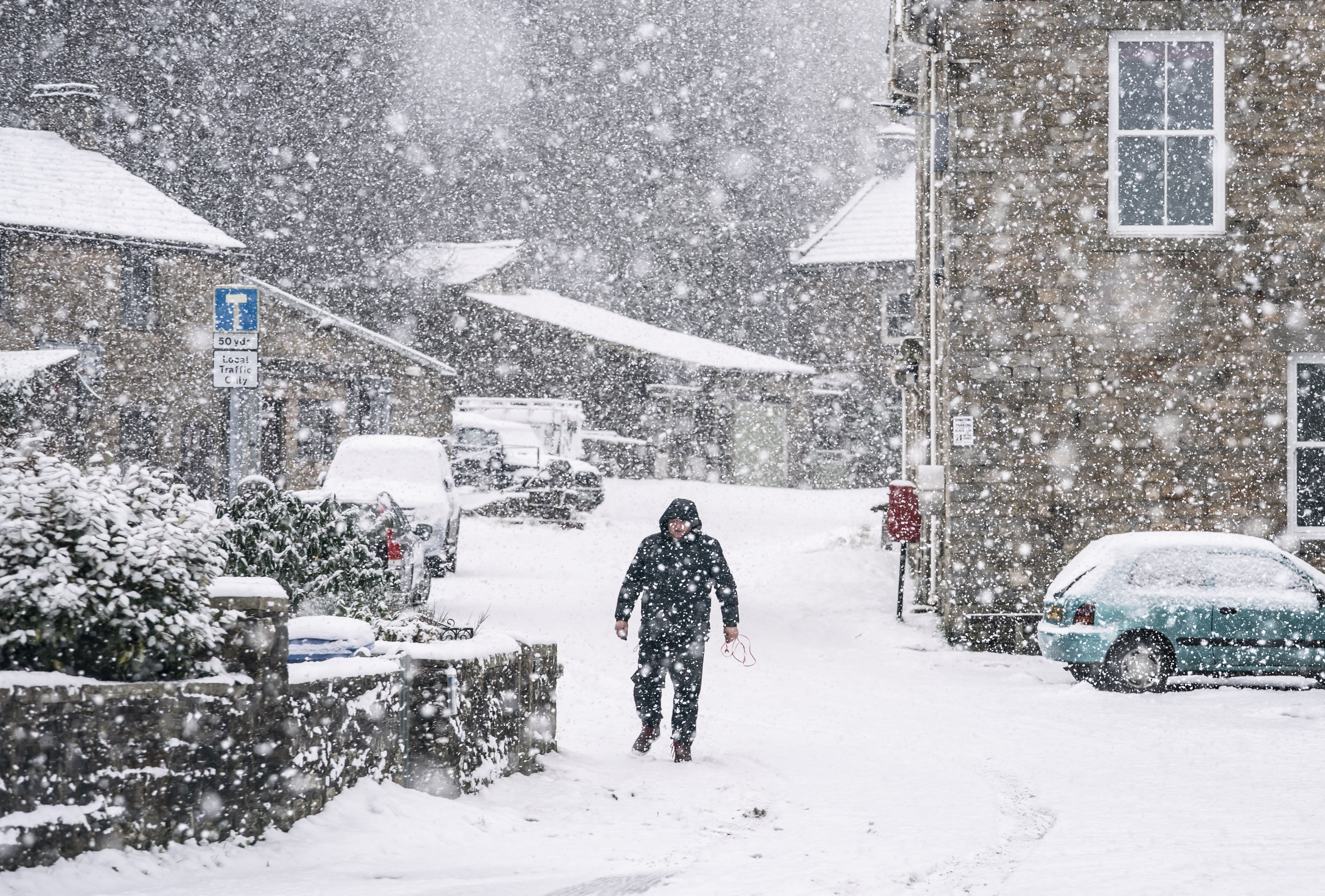
Coldest night of the season so far as temperatures plunge to minus 8.7C
The Met Office said Shap in Cumbria recorded the lowest temperature of the season so far.

Your support helps us to tell the story
From reproductive rights to climate change to Big Tech, The Independent is on the ground when the story is developing. Whether it's investigating the financials of Elon Musk's pro-Trump PAC or producing our latest documentary, 'The A Word', which shines a light on the American women fighting for reproductive rights, we know how important it is to parse out the facts from the messaging.
At such a critical moment in US history, we need reporters on the ground. Your donation allows us to keep sending journalists to speak to both sides of the story.
The Independent is trusted by Americans across the entire political spectrum. And unlike many other quality news outlets, we choose not to lock Americans out of our reporting and analysis with paywalls. We believe quality journalism should be available to everyone, paid for by those who can afford it.
Your support makes all the difference.Parts of the UK had the coldest night of autumn so far with temperatures plummeting to below zero.
The Met Office said Shap in Cumbria north-west England recorded the lowest temperature of the season so far with minus 8.7C (16.34F).
Bridlington in East Yorkshire meanwhile, recorded high levels of rainfall, with 14.6mm of rain overnight on Sunday.
Britons saw a mix of weather on Sunday, with a range of sunshine, rain, sleet and snow.
Met Office spokesman Oli Claydon said that the second coldest night of the season had been on Saturday night.
“The previous low was minus 6.4C which was recorded in Shap in Cumbria on the 28th.
“Over last night we recorded minus 8.7C (16.34F), also in Shap.”
However, the cold temperatures will be replaced by a warming trend on Monday, followed by another dip in temperature on Wednesday night.
“There is a bit of a warming trend through the day today (Monday).
“The whole of the UK will turn milder. The places that will hold on to the cold air the longest will be in the south-east of the UK.
“The low temperatures will return on Wednesday and Thursday night.
“However, I don’t think it will be quite as low as we have seen before.
“It will still be below zero, but more like minus 4C (24.8F) or minus 5C (23F).”
It comes after Storm Arwen wreaked havoc across much of the UK at the weekend, bringing strong winds, sleet and snow.
Gusts of almost 100mph caused transport disruption, power cuts and damage to buildings, while heavy snow led to lorries getting stuck and ploughs being used in a number of areas.
Northern Powergrid, the company responsible for the electricity distribution network across the North East, Yorkshire and northern Lincolnshire, worked through the night to restore power to people affected as a result of Storm Arwen.
By 11pm on Sunday, the network operator restored power to around 208,000 of the 240,000 customers affected.
It added that the damage was so extensive that in some cases, large sections of overhead lines will need to be rebuilt in order to restore supplies.
Rod Gardner, Northern Powergrid’s major incident manager, said: “Intelligence from our helicopter inspections has illustrated the scale of impact on our network. The impact from Storm Arwen has been one of the worst we’ve experienced in the last 20 years.
“Despite this, we have restored more than 200,000 customers supplies and our dedicated teams will not stop until all customers are restored, and our network is returned to full strength.”
SP Energy Networks, a supplier for parts of Scotland, England and Wales, said by 10.30pm on Sunday, it had reconnected 147,000 customers.
National Rail said on Monday morning train routes across Scotland, Wales, north-east England and south-west England had been affected by the weather.
Affected routes included those run by the London North Eastern Railway, Lumo, ScotRail, and TransPennine Express.