What are the Santa Ana winds that are fueling devastating fires across Southern California?
The National Weather Service has issued an extreme weather warning of a life-threatening and destructive windstorm
Your support helps us to tell the story
From reproductive rights to climate change to Big Tech, The Independent is on the ground when the story is developing. Whether it's investigating the financials of Elon Musk's pro-Trump PAC or producing our latest documentary, 'The A Word', which shines a light on the American women fighting for reproductive rights, we know how important it is to parse out the facts from the messaging.
At such a critical moment in US history, we need reporters on the ground. Your donation allows us to keep sending journalists to speak to both sides of the story.
The Independent is trusted by Americans across the entire political spectrum. And unlike many other quality news outlets, we choose not to lock Americans out of our reporting and analysis with paywalls. We believe quality journalism should be available to everyone, paid for by those who can afford it.
Your support makes all the difference.The fast-moving wildfires ripping through Southern California are being fueled by the state’s fierce Santa Ana winds.
The Los Angeles Fire Department is bracing itself for the bruising winds to reach gusts of up to 60 mph through Thursday. In some parts, the Santa Anas could reach speeds of up to 100 mph, according to the National Weather Service.
The NWS has issued an extreme weather warning of a life-threatening and destructive windstorm for some areas.
Thousands of residents have been forced to evacuate LA and more than 300,000 people have been left without power after several fires ignited across the county on Tuesday evening.
The Pacific Palisades fire has spread to almost 3,000 acres as of Wednesday morning, while the Eaton fire has spread over 1,000 acres through Altadena, Pasadena, Arcadia, and Sierra Madre. The Hurst fire in Sylmar at 500 acres.
“By no stretch of the imagination are we out of the woods,” Governor Gavin Newsom said on Tuesday. “I saw firsthand the impact of these swirling winds and the embers and the number of structures that are destroyed. Not a few, many structures already destroyed.”
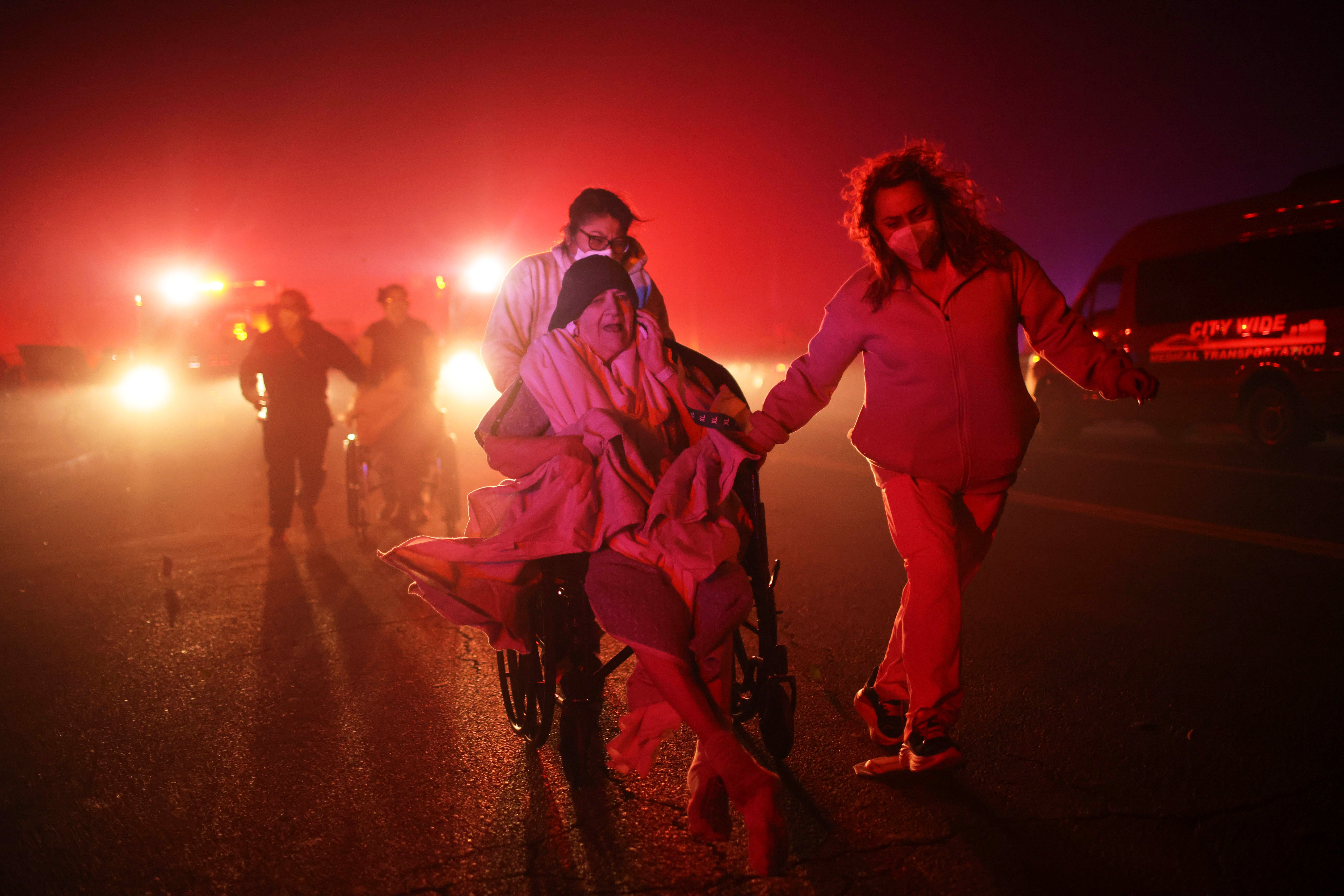
What are the Santa Ana winds?
With the ability to turn a small spark into a raging wildfire, the Santa Anas are dry, warm and gusty northeast winds that blow from Nevada and Utah to Southern California toward the coast. They move in the opposite direction of the normal onshore flow that carries moist air from the Pacific into the region.
The name is understood to be linked to Santa Ana Canyon in Orange County, but the weather has other nicknames such as “devil winds” or “red wind.”
Santa Ana occurs during the cooler months between September and May. Southern California is particularly vulnerable to them.
Fire ecologist Chad Hanson told BBC News that it would be a “rough night” for fire crews. “These winds are unique to southern California and it results in extreme, sustained wind events with pretty dramatic gusts.”
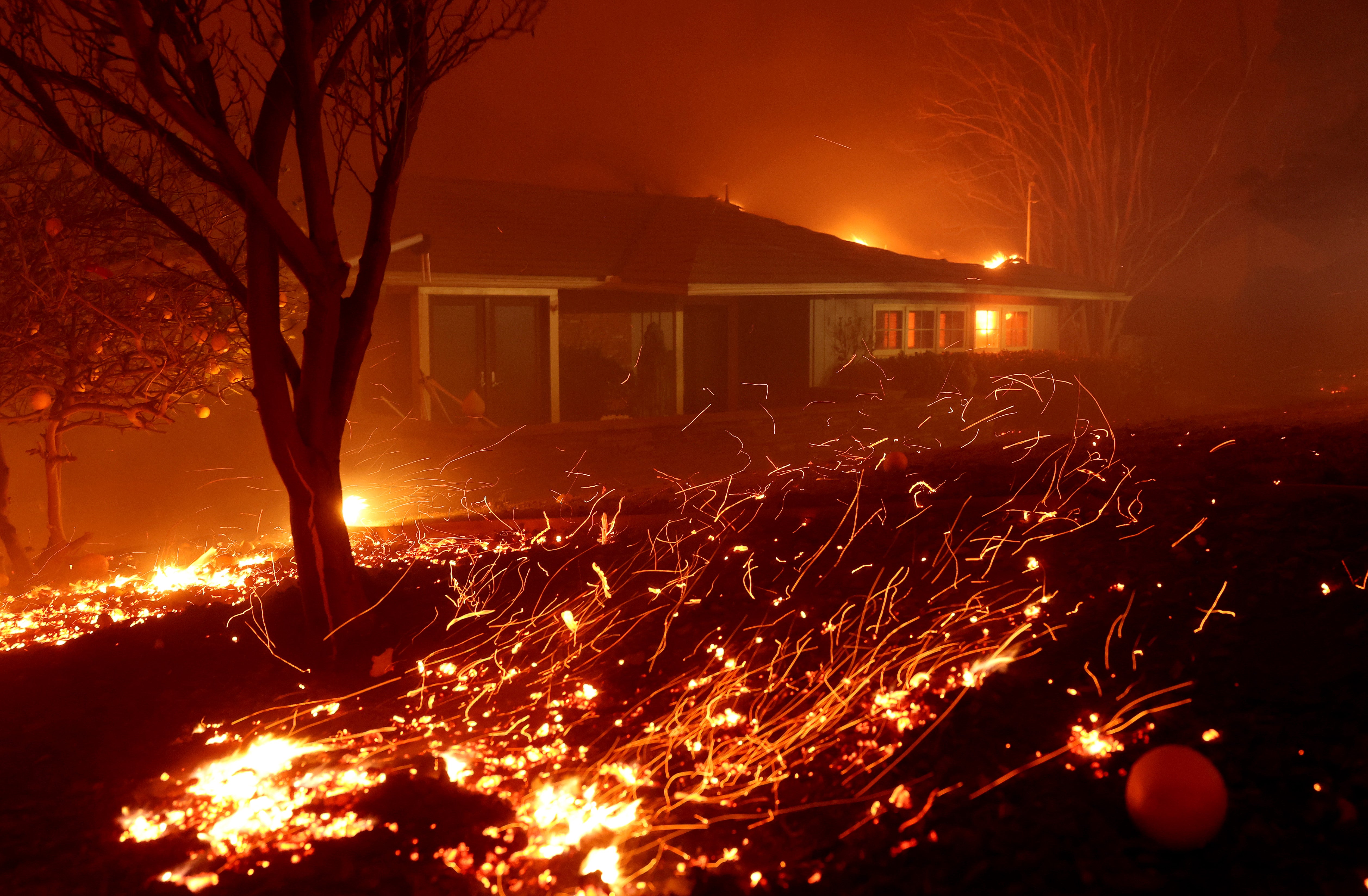
How do the winds form?
Santa Anas are created by high pressure over the Great Basin — the vast desert interior of the West overlapping Nevada, parts of Utah and other states. The sinking air loses its moisture and flows in a clockwise direction toward Southern California, where it must get past towering mountain ranges that separate the desert from the metropolitan region lining the coast.
Like a slow-moving river that suddenly narrows and turns into rapids, the air speeds up as it squeezes through mountain passes and canyons, becoming drier and warmer as it descends.
Alex Hall, director of the Institute of the Environment and Sustainability at the University of California, said to imagine the Great Basin “as a big bowl” lined with holes that represent mountain passes.
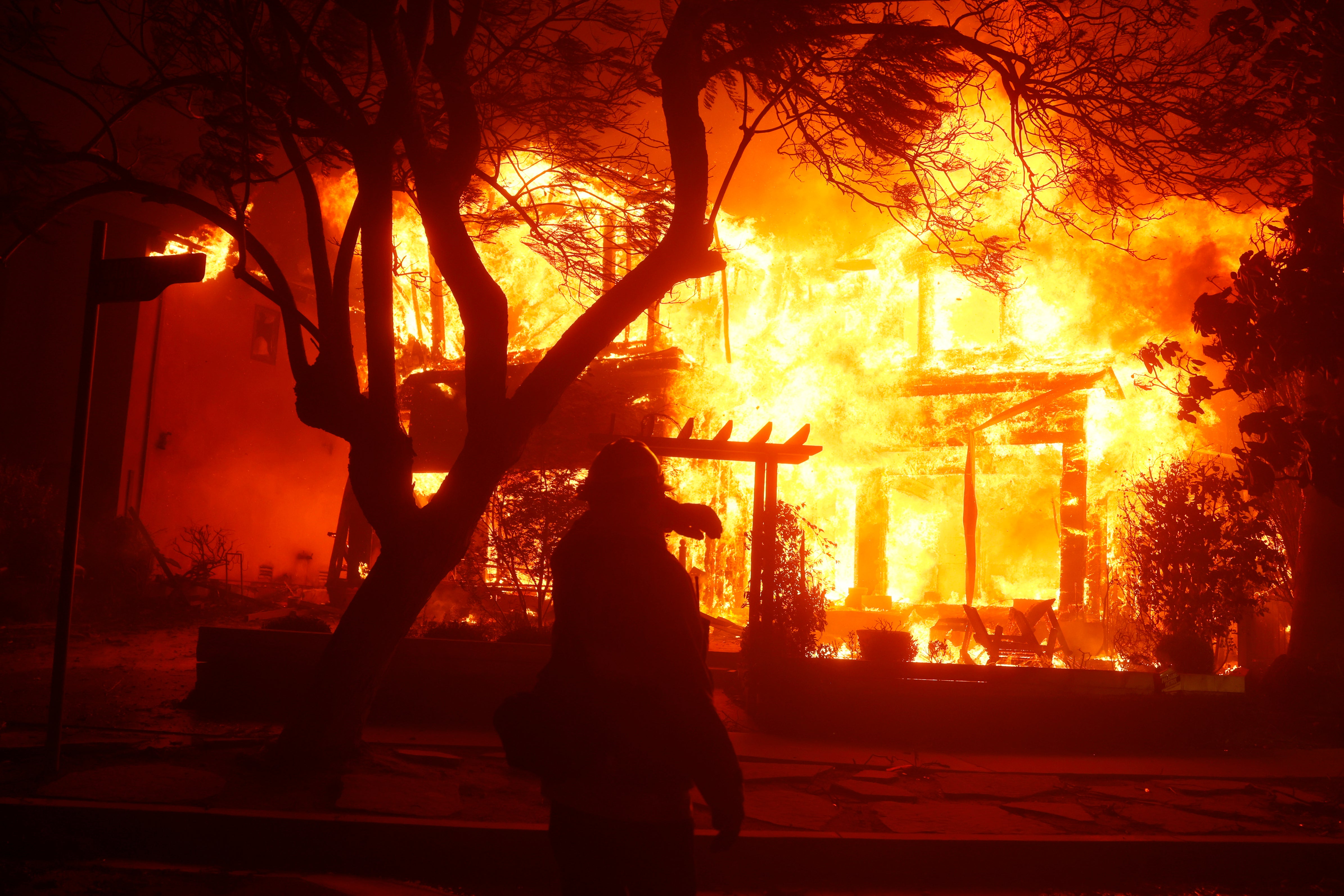
“If you have a lot of heavy, high pressure sitting there in the bowl, you’re going to be pushing air out through the holes,” Hall told TheNew York Times.
As air charges through the mountain passes, or the imaginary holes in the bowl, the winds pick up speed and funnel toward the Southern California coast.
Why the winds can be deadly
The air in Southern California is dry at the moment, with humidity around 10-20 percent. It is likely to fall further, according to meteorologists, thus creating the perfect conditions for fire to spread.
A lack of humidity in the air causes vegetation to dry out and essentially become kindling for a fire. The wind speeds can stoke any spark, from a fallen power line to a discarded cigarette bud, and rapidly spread.
When and where will the winds be the most extreme?
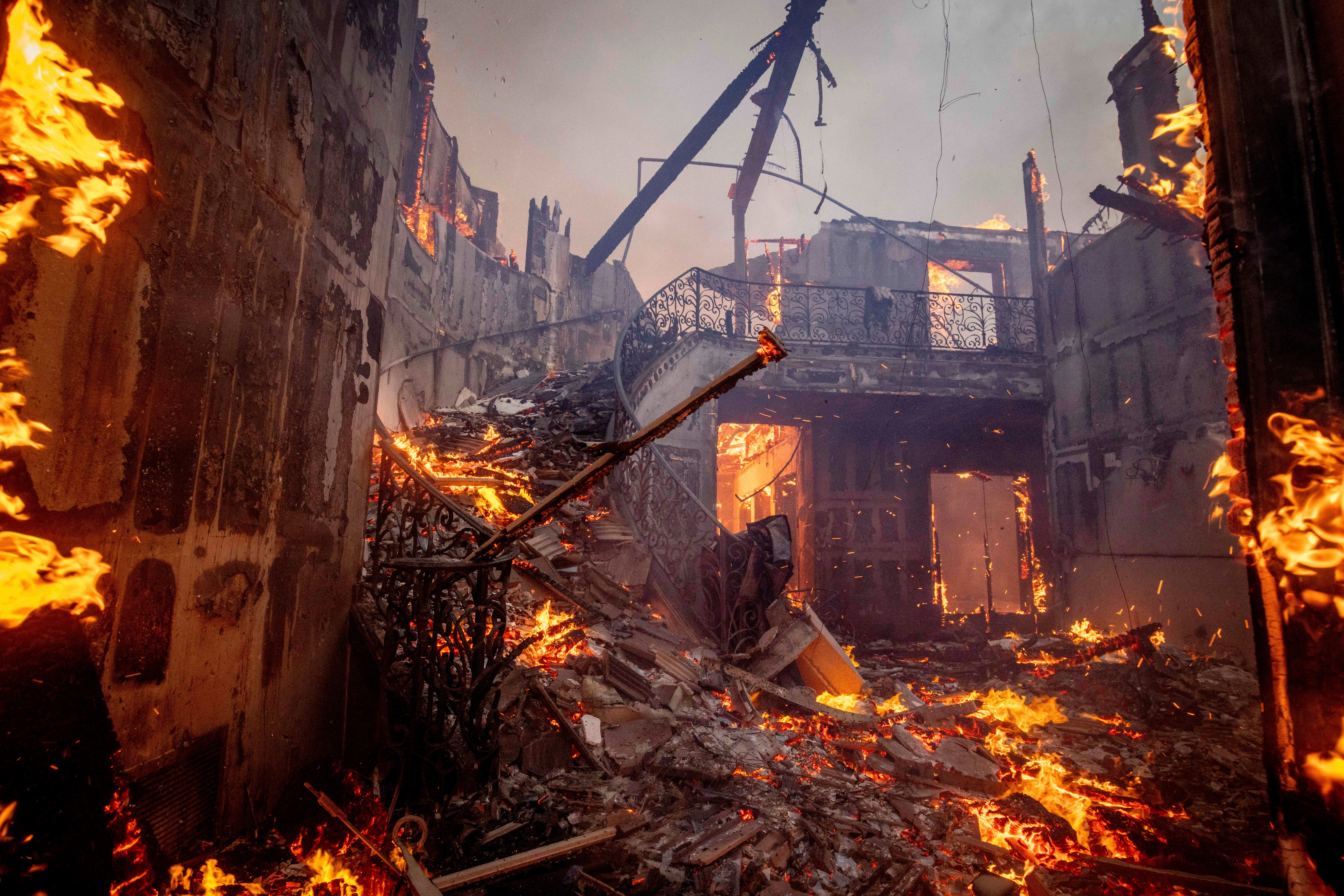
The National Weather Service has issued an extreme weather warning for parts of southern California due to the Santa Anas winds fueling the flames.
It said that the time period of the greatest concern would be Tuesday night through Wednesday afternoon local time, where it warned of widespread gusts of 50 - 80 mph, with isolated speeds of 80 - 100mph in the mountains and foothills.
The agency says the areas of greatest concern are: Highways 118/210 corridors, San Gabriel/ Santa Susana / Santa Monica Mountains and Foothills; San Gabriel and San Fernando Valleys, Pasadena, Burbank, San Fernando, Hollywood, Beverly Hills, Simi Valley, Sylmar, Porter Ranch, Altadena, La Crescenta and Malibu.
Winds are linked to some of Southern California’s worst wildfires
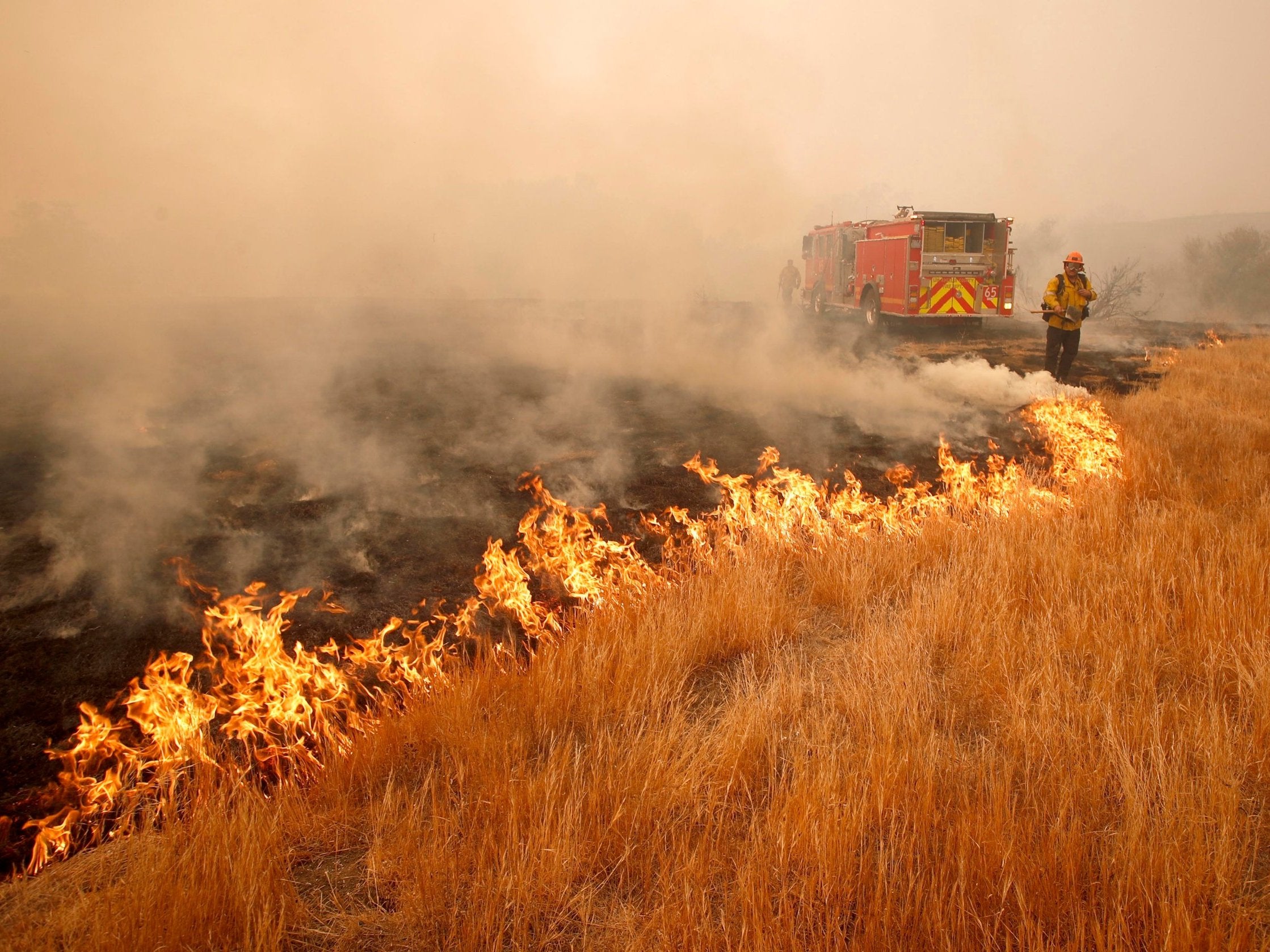
Santa Anas are linked to some of the worst wildfires Southern California has experienced.
The devastating 2018 Woosley fire broke out on November 8, 2018 and was not fully contained until November 21. It burned almost 100,000 acres, including more than 21,000 acres of National Park Service land.
Santa Ana winds pushed the fire south, where it went into the Santa Monica Mountains.
The Associated Press contributed reporting

Join our commenting forum
Join thought-provoking conversations, follow other Independent readers and see their replies
Comments